Description
The Smallwood Ridge Hunt Club Map from SplashMaps
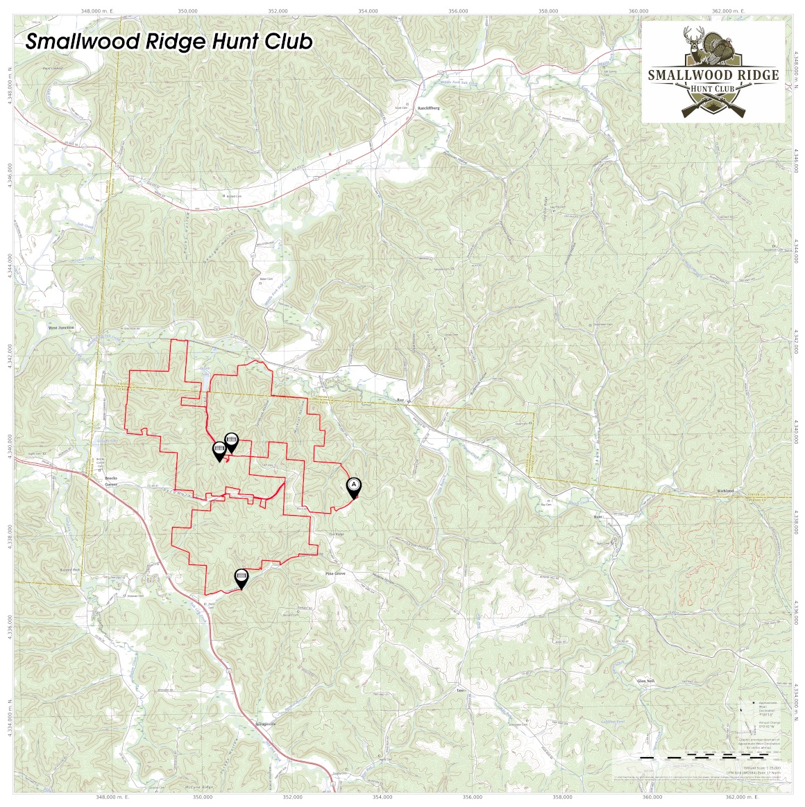
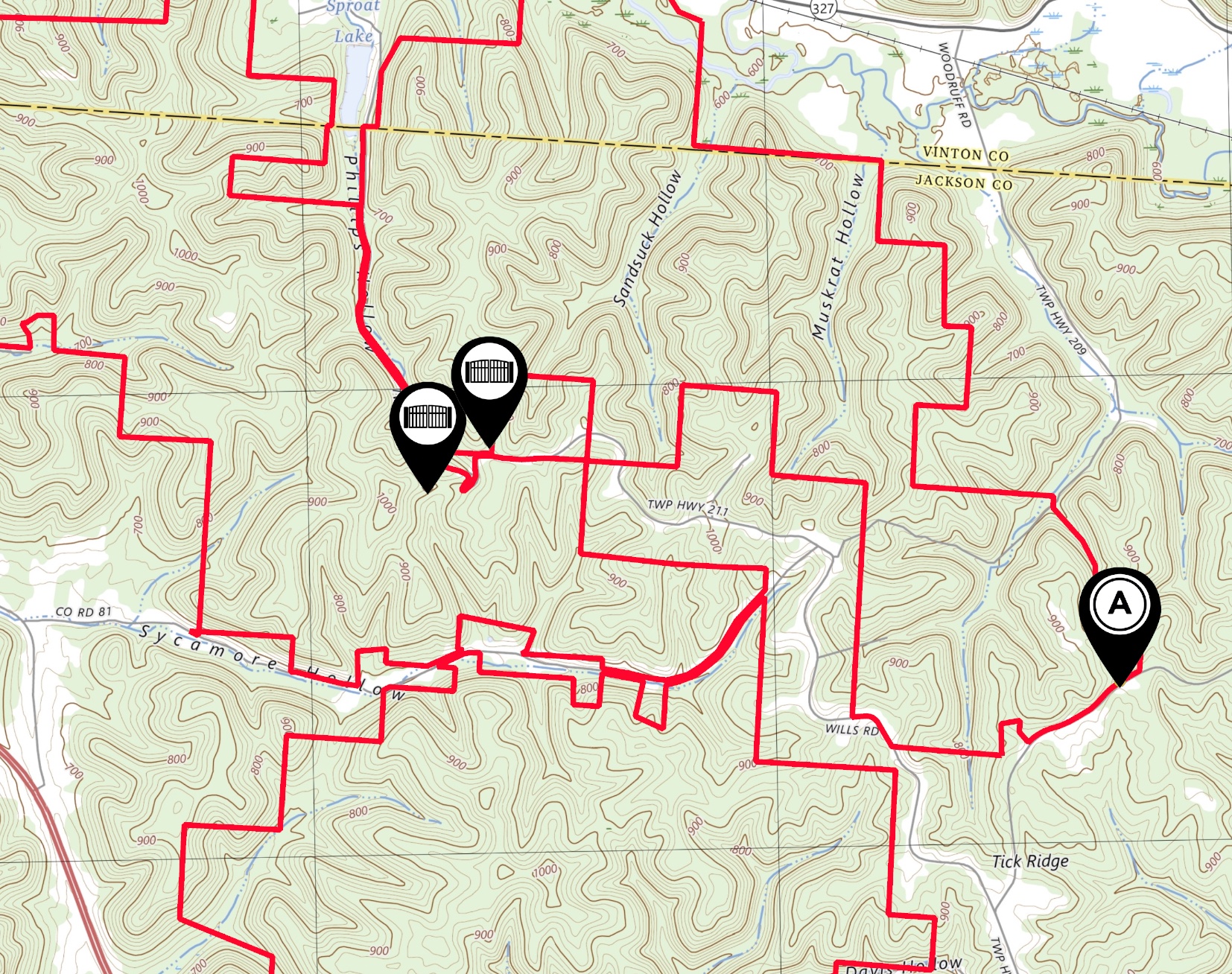
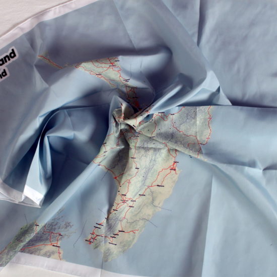
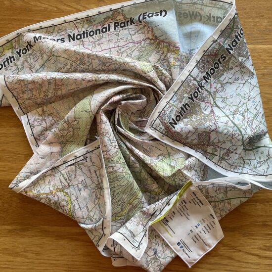
The Small Wood Ridge Hunt Club Map from SplashMaps covers this important hunting concession in the USA, at a scale of 1:25 000. Clear outlines of the hunt areas and access point markers are included. This SplashMap is printed onto a waterproof fabric. It can be worn as a scarf or stuffed in a pocket or even buoyancy jacket. There’s no need to carefully fold. The content of our Small Wood Ridge Hunt Club SplashMap includes clear trails contours and all the content you expect from National Map Maker, USGS. It’s ideally suited for two feet, two wheels or 4 hooves.
Perfect for any adventurer
A SplashMap of Smallwood Ridge Hunt Club is perfect for any adventurer, whether you prefer walking or cycling because it offers a durable, weatherproof, and highly detailed representation of the island you can stuff in a pocket.
- Walkers benefit from the clear depiction of trails, terrain, and points of interest, making it easy to navigate and discover hidden gems.
- Hunters can plan their routes with confidence, utilising the map’s comprehensive road and path information to enjoy the varied landscapes of the Smallwood Ridge, CA.
This versatile, washable, and indestructible map is an indispensable tool for any outdoor enthusiast looking to explore the beauty of the Wachusett Mountain State Reserve.
CUSTOM USGS MAP TAILORED TO YOU
Considered making a more specific map for your visit? By Choosing to create a custom map of the area you could get your favourite location dead centre in a scale and on a product that works best for you! What could be better?
KEY INFORMATION:
Settlements:
Savageville, Brocks Corner, Byer, Ratcliffburg, Richland,
National Grid Coordinates (Easting, Northing / Grid Reference):
Lower-left – 345800, 4332500
Upper-right – 363800, 4349500
Scale:
1:25,000
Dimensions on map:
20 miles x 20 miles
Size of product (including borders):
73 x 73 cm (approximately)
Only logged in customers who have purchased this product may leave a review.








Reviews
There are no reviews yet.