Description
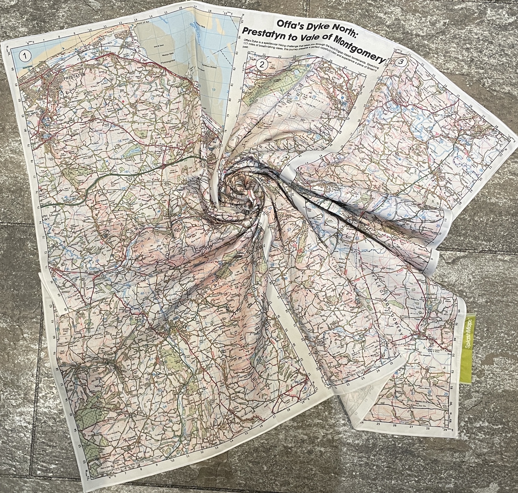
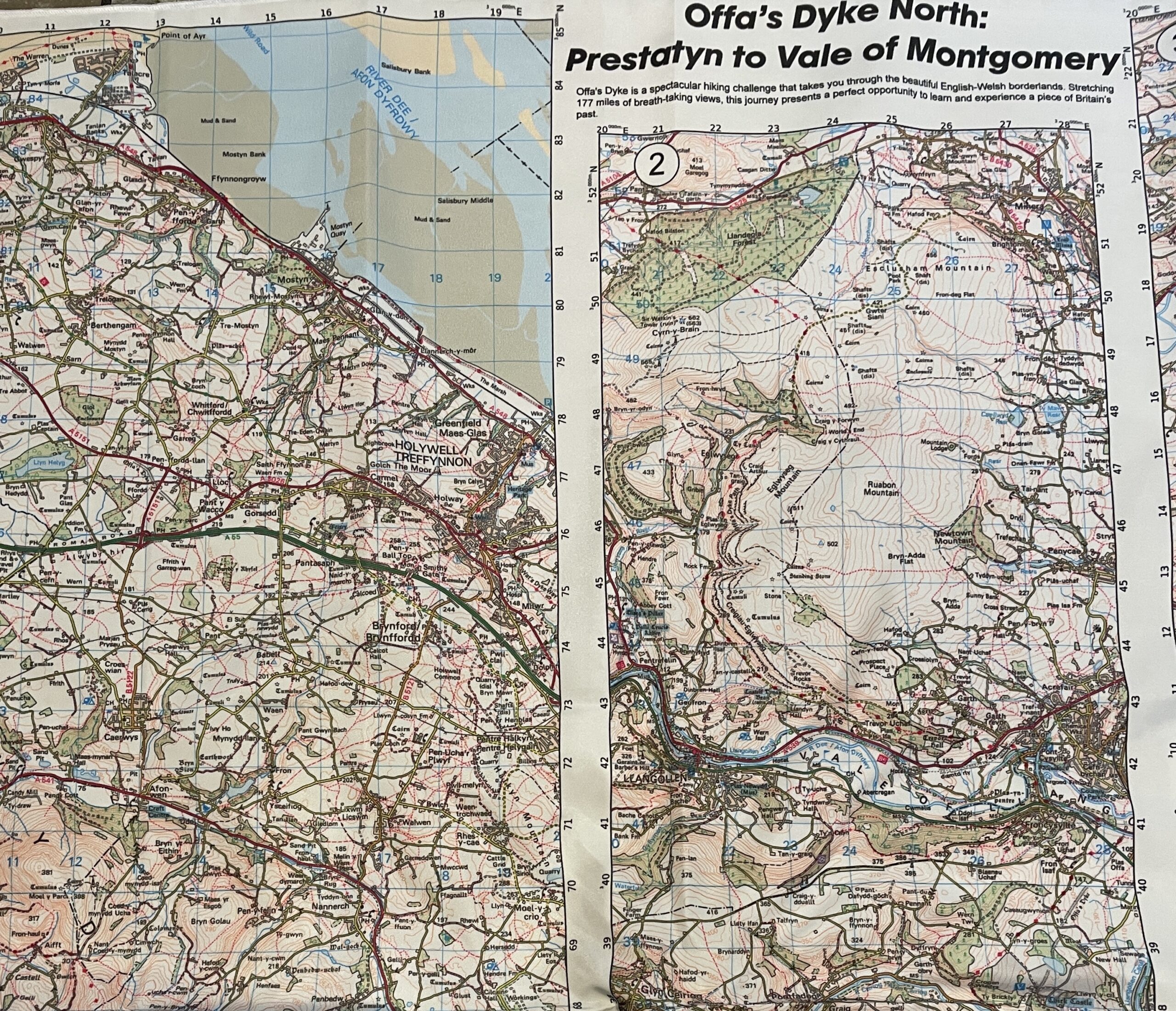
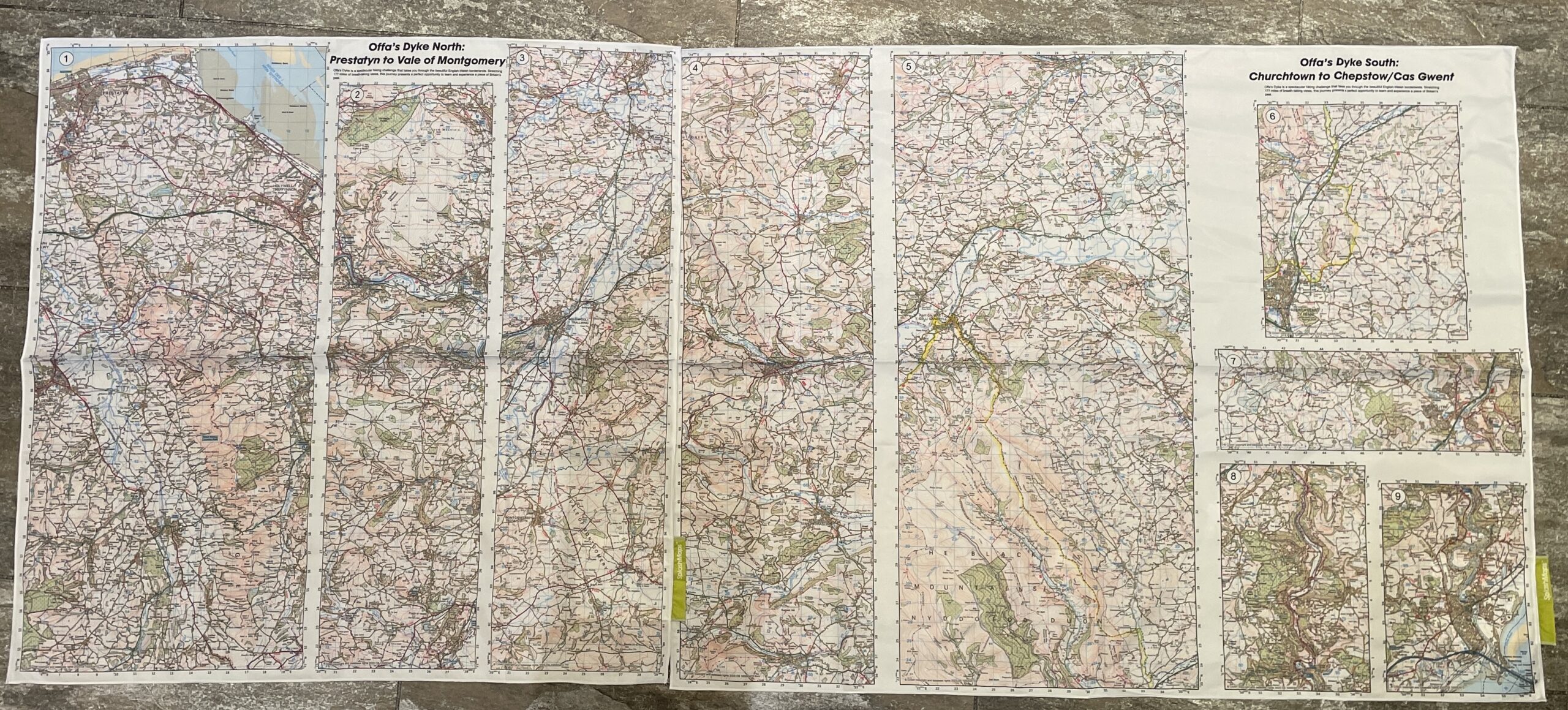
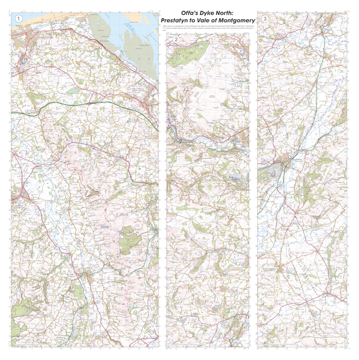
Our Offa’s Dyke North Map forms part of a two-part series, neatly covering the northern half of this long-distance trail, stretching from the beautiful Prestatyn down to the enchanting Vale of Montgomery.
Conquering the Offa’s Dyke Walking Challenge
Marvel at the wonderful borderland of Wales and England by conquering the Offa’s Dyke Walking Challenge! This remarkable trail stretches a whopping 177 miles and follows the legendary Dyke, a historical barrier constructed under the rule of King Offa of Mercia, intended to keep the Ancient Britons out of Anglo-Saxon lands.
Trusted Ordnance Survey Landranger
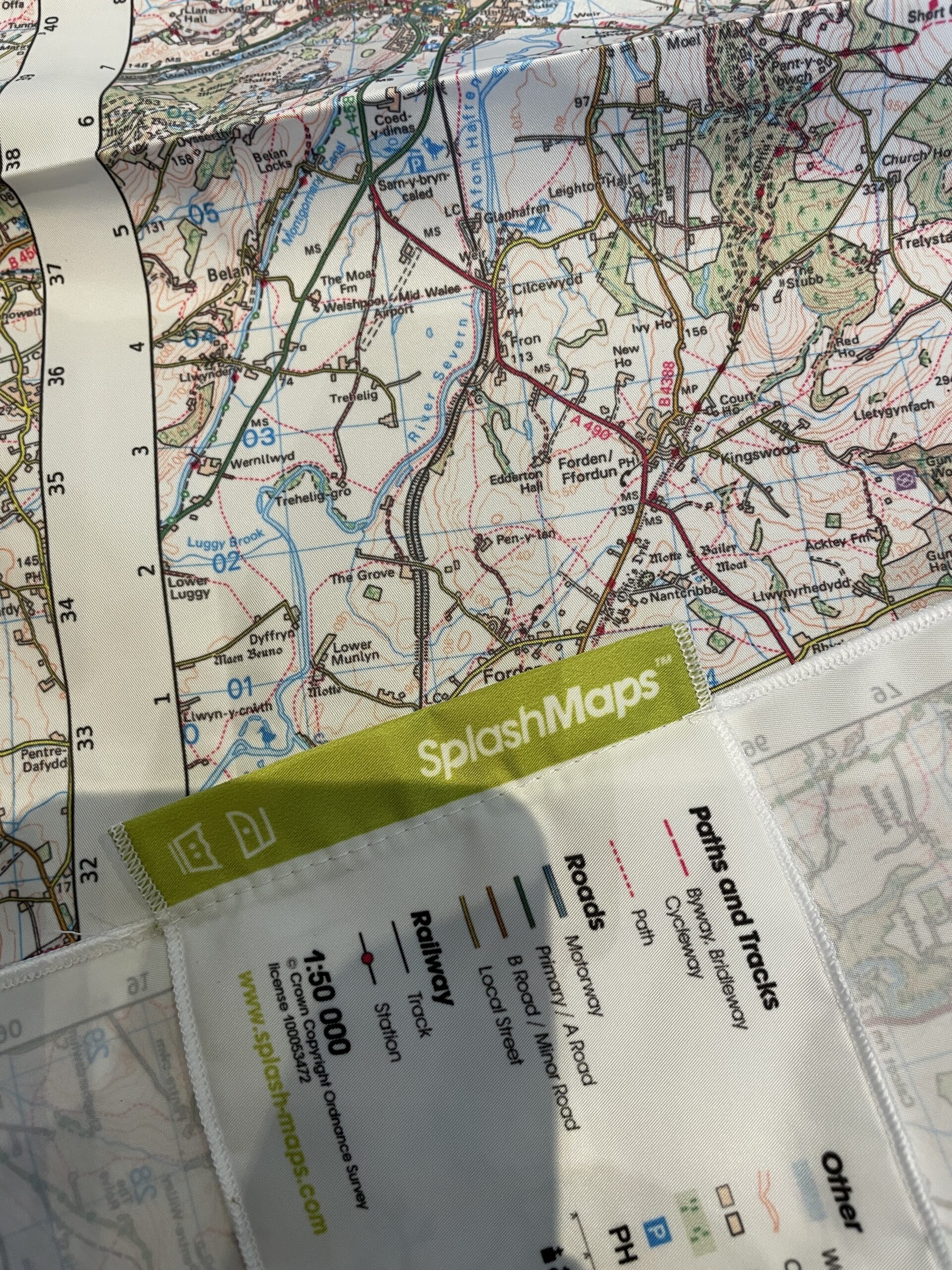
Featuring the trusted Ordnance Survey Landranger 50k, in panels (strips) to allow optimum coverage on optimally sized maps, these maps have been put to the test by tough former Royal Marine, Nick Goldsmith and his companion Karl. They braved the freezing January temperatures to ensure that they are the highest quality, most trustworthy trail guides you can find!
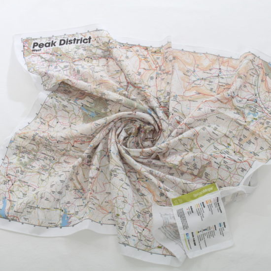
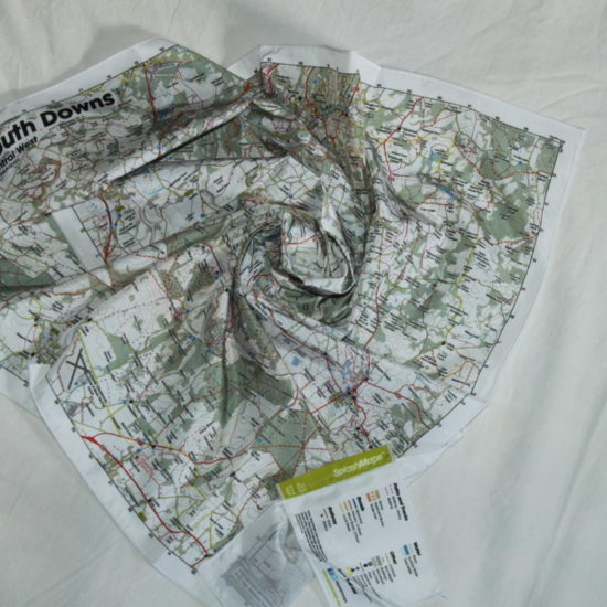
SplashMaps your Ultimate Companion
SplashMaps are designed to survive anything, crafted to withstand not just the elements, but also the test of time. Perfectly wearable, washable, and extraordinarily detailed, they are your ultimate companion for your next big challenge on the Offa’s Dyke trail! Will you rise to the challenge? Make sure you’re ready to tackle Offa’s Dyke with SplashMaps!
KEY INFORMATION:
Contents:
Panel 1 covers 15 x 34.5km: Prestatyn, Hollywell, Treffynnon, Vale of Clwyd, Ruthin, Rhuthun, River Clwyd, Moel Lys-y-coed, Moel Famau, LLanbedr Dyffryn Clwyd, Moel y Waun, Pen-y-stryt
Panel 2 covers 8.5 x 32.3km: Llangollen, Esclusham Mountain, Pant, Cyrn-y-Brain, Penycae, Eglwyseg Mountain, Trevor, Acrefair, Ruabon Mountain, Bronygarth, LLawnt, Trefonen, Whitehaven, Pen y Foel, LLansilin
Panel 3 covers 9.2 x 34.5km: Llanymynech, Four Crosses, Rddleen, Welshpool, Forden, Vale of Montgomery, River Unk, Lower Edenhope, Priest Weston
Dimensions on map:
Covering the full length of the 79 mile Great Glen Way
Size of product (including borders):
72cm x 72cm (approximately)
Only logged in customers who have purchased this product may leave a review.


Reviews
There are no reviews yet.