Description
The Arnhem September 17-21 1944 SplashMap
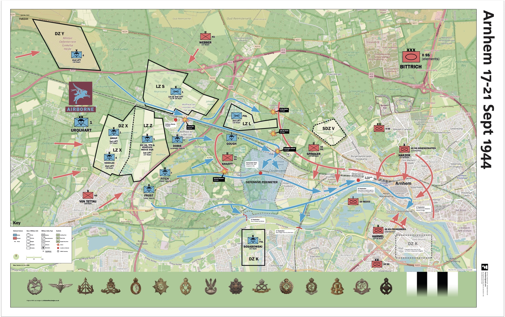
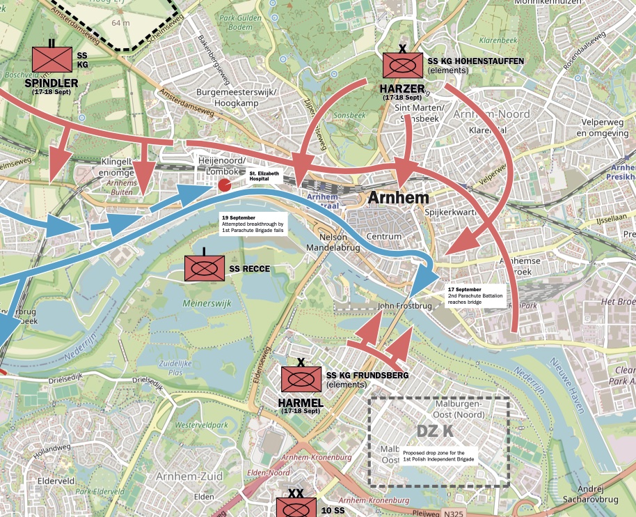
This Arnhem September 17-21 1944 Map depicts the details of troop movements in the Battle of Arnhem during the WW2 liberation. It’s part of SplashMaps’ History Maps series.
The Battle of Arnhem
The Battle of Arnhem was fought in the Netherlands from 17 to 26 September 1944, as part of Operation Market Garden. The Allies launched this ambitious operation to capture a series of bridges across the rivers and canals of the Netherlands, opening a route for ground forces to advance into Germany.
As part of the airborne assault, the British 1st Airborne Division landed west of Arnhem. Its objective was to secure the bridges over the Lower Rhine while Allied ground forces advanced north along a narrow corridor from the Belgian border. American airborne divisions were tasked with capturing bridges farther south, helping to hold the route open.
The plan depended on speed and coordination. At Arnhem, fierce German resistance and delays along the ground route prevented the Allied forces from linking up with the airborne troops as planned. British paratroopers fought to hold positions in and around the city, while the division’s remaining forces established a defensive perimeter near Oosterbeek.
This map brings the operation’s key locations and movements together in one view. It shows the Allied landing zones west of Arnhem, the routes taken by airborne units, the German response, the approaches to the city and bridge, and the defensive perimeter around Oosterbeek. By placing these events against the area’s roads, rivers and villages, the map helps readers understand how the terrain shaped the battle.
Created for battlefield guides, the map is designed to support explanation on site and help visitors follow the course of the fighting across the landscape. It offers a strategic overview for guides and anyone interested in understanding how the Battle of Arnhem unfolded as part of Operation Market Garden.
Royalties from the sale of these maps will be donated to the Army Benevaland Fund.
Ideal context setting
Designed as a historical companion for visits to the Normandy D-Day beaches and airborne drop zones.
The Guild of Battlefield Guides
The map was created by Frank Toogood, an Accredited Member of the International Guild of Battlefield Guides, who guides school and military groups for Anglia Tours.
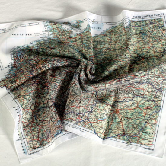
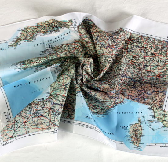
SplashMaps’ Pro weatherproof fabric
SplashMaps’ Pro weatherproof fabric will survive everything.
Key content
Arnhem, Airborne, Doorwerth, Renkum, Heteren, Tiger Route, Lion Route, Ossterbeek,
Size
88cm x 140cm
Only logged in customers who have purchased this product may leave a review.







Reviews
There are no reviews yet.