Where better than the Armchair Adventure Festival to launch our International expedition map series?
Check the launch film here.
The brains behind this – the most relaxed of festivals – were Matt and Reece, the Sidecar guys.
With #AAF22 They’d created the perfect honey pot to attract the world’s most extreme adventures and their followers.
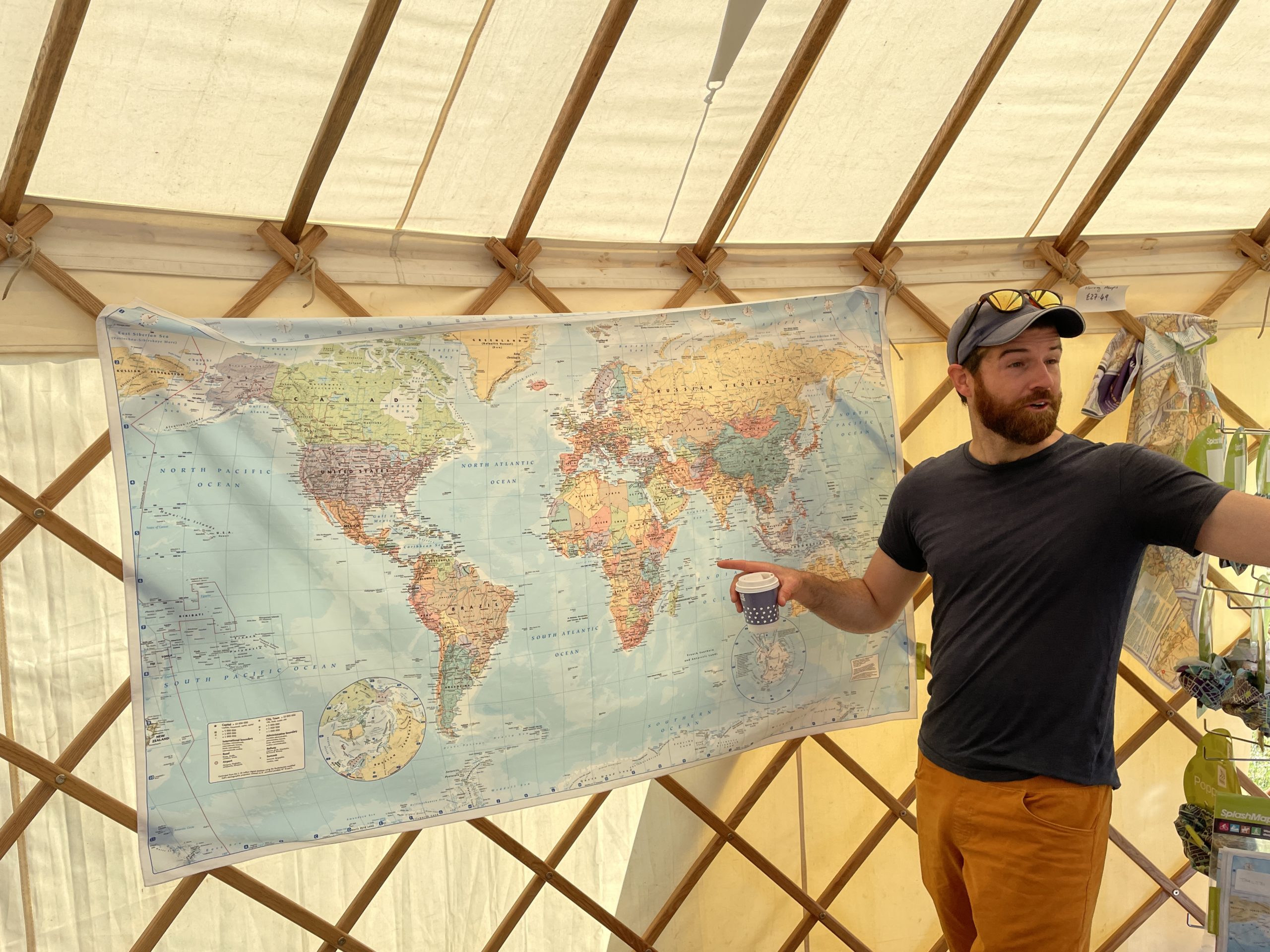
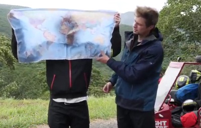
Pioneered by Matt and Reece for winning friends as they toured the world on a moped and sidecar, the tablecloth size version of this beautiful Phillips Atlas political world map made an awesome backdrop for all our one-to-ones. There’s no better way to share a truly global challenge, though we found one new way where you can save even more map weight.

Charlie Walker really owned this map when he came to visit. The stories of his Pan Siberian winter hike through a fear stricken Russia electrified the audiences. Sharing the tail over this fabric beauty gave real context to this emmence feat at crying low temperatures.
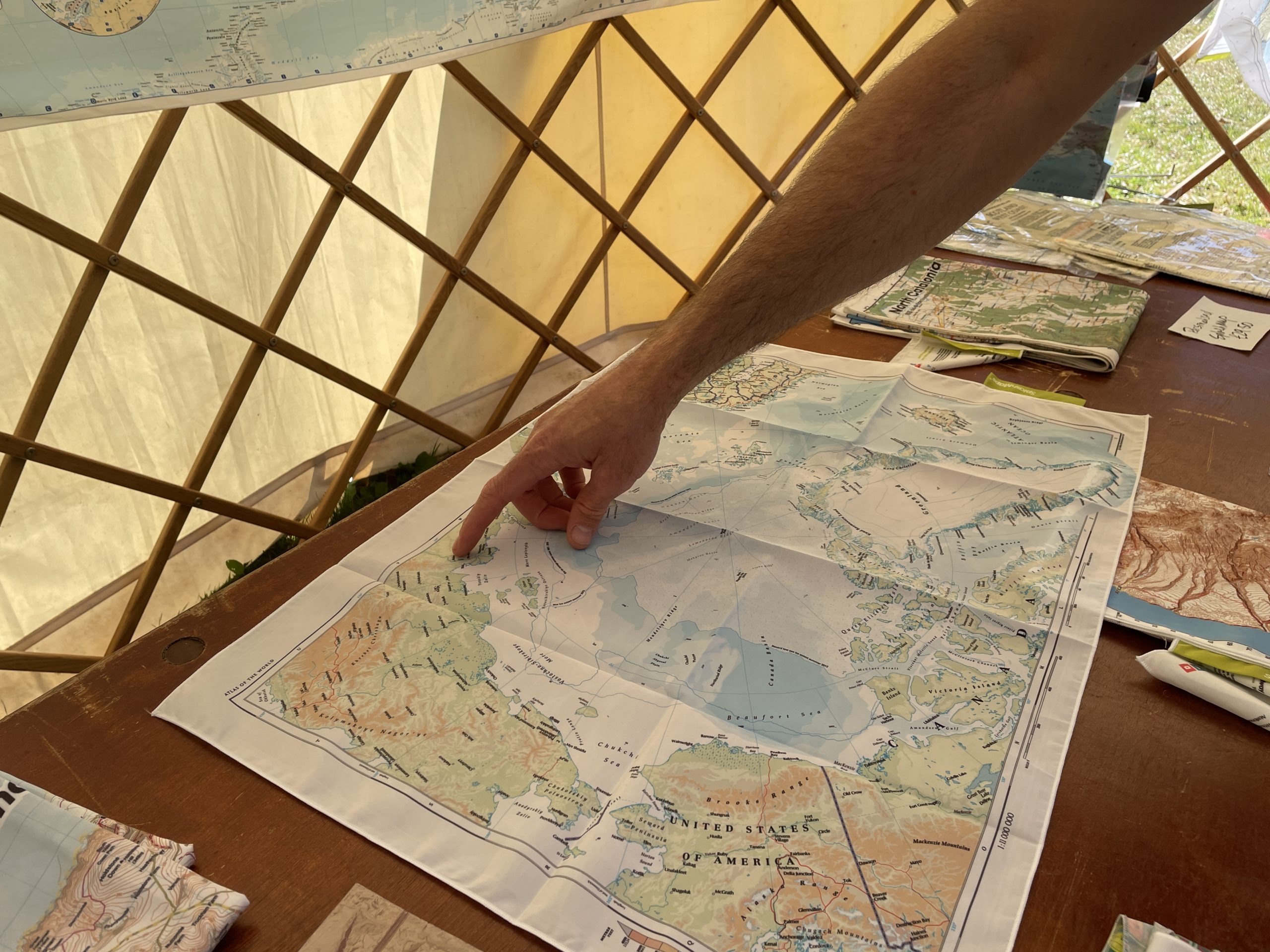
The scale, size and style of these maps are specifically chosen to give you a rapid context of the title country in its entirety; it’s terrain, transport networks and major conurbations.
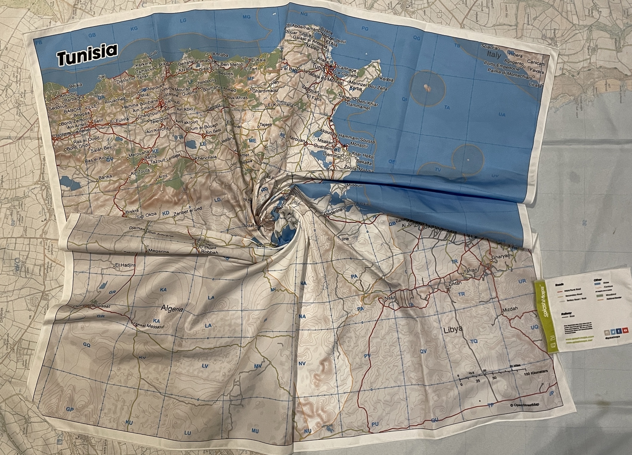
National and maritime borders are highlighted because these give a context of the country and its surrounds. Contours and hill shading are added to give a fast, reliable impression of the topography. Water features include the main river network, lakes, seas and deltas. Conurbations are named in clear bold text and pin pointed throughout the nation and its immediate neighbours to help accurate coordination. Railways and three classes of road (Main, Secondary and Tertiary) detail the transport network to plan your journey and rendez-vous. Woodland gives a clear context for those navigating the country.
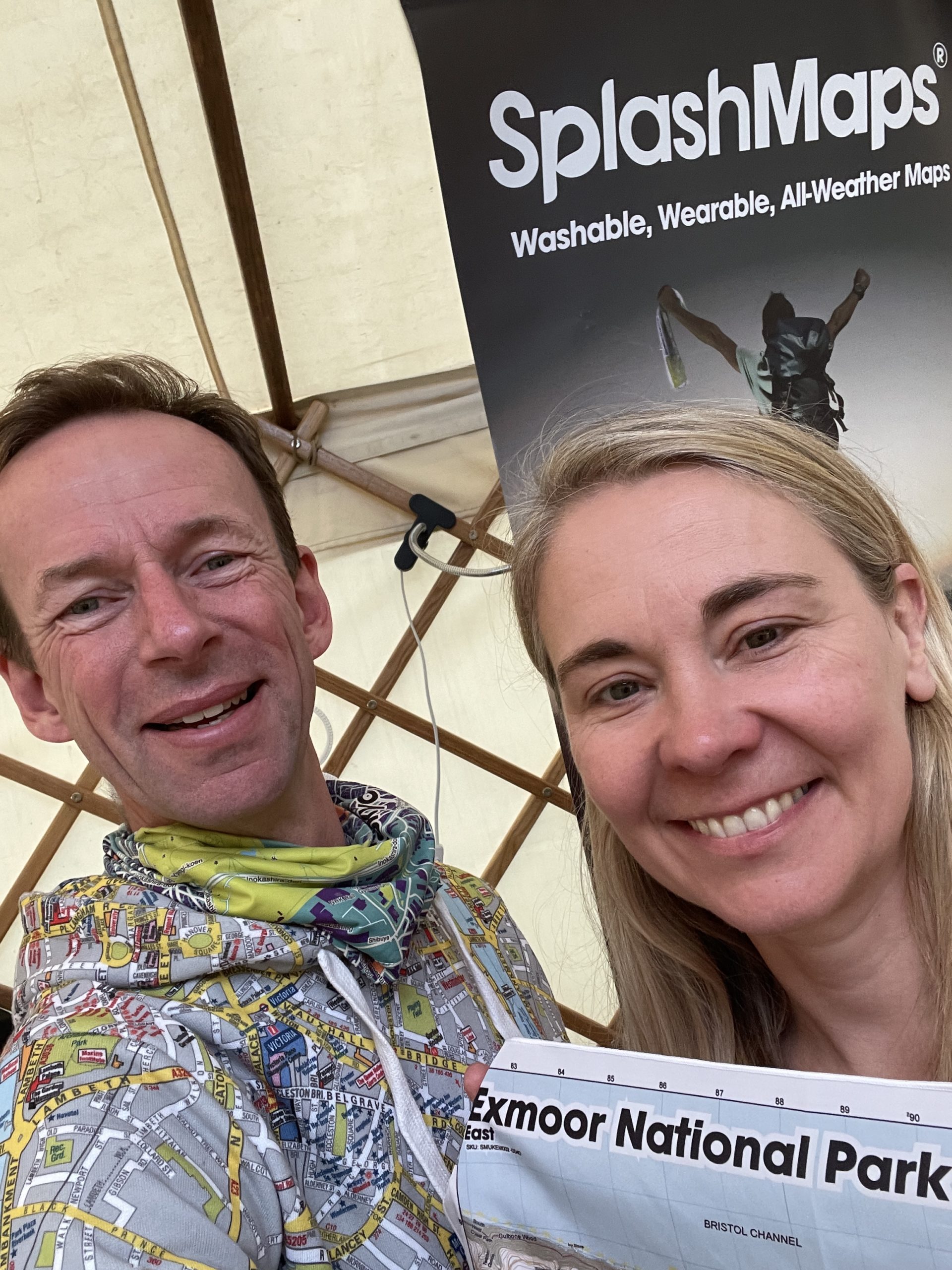
Belinda Kirk can was delighted to find her house named on our Exmoor maps. It’s not unusual for explorers to hail from one of our 15 national Parks in the UK. It’s the perfect place to raise a new generation of adventurers.
Doing them all, Chris Howell will benefit from SplashMaps of all the National parks as he marathons each in successive days in November. On hearing of his support for the Queens Canopy (a tree planted for each mile), we had to support this noble challenge.
