Description
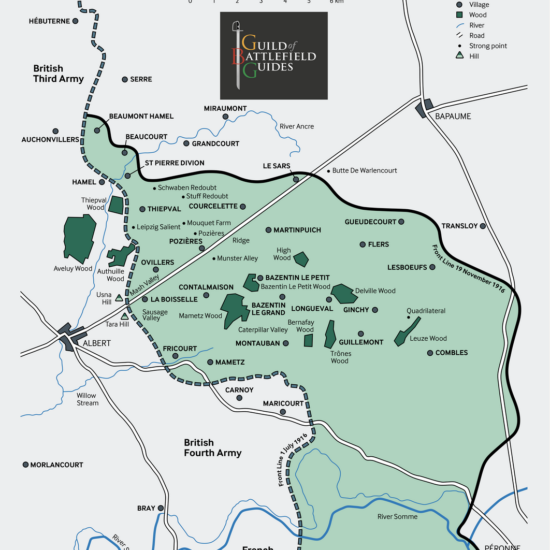
WW1 Battle of the Somme Day 1
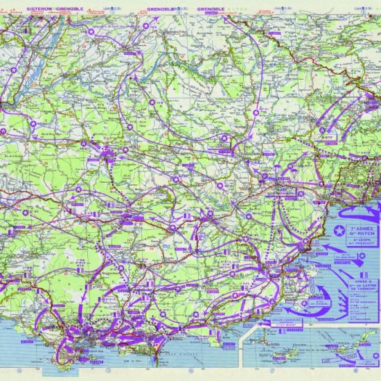
This WW1 Battle of the Somme Day 1, is one of SplashMaps’ History Maps series and give the picture of the first catastrophic day of battle. The Overview Map of the whole battle is here.
The worst day in the British Army’s history
This covers the First day of the Somme, which was the worst day in the British Army’s history, with 60,000 casualties of which 20,000 died. It also shows which British Corps and Divisions, together with their objects for first day, as well as the German units they fought. The map also highlights to topography of the battlefield they fought over.
The Somme Day1: Ideal scene setting
These maps — as found in battlefield history books — are intended as aids for guides to help set the scene during tour presentations. The map is the perfect explainer of what happened that 1st day of the Somme battle, one day in the whole campaign which only ended on the 18th of November.
The Guild of Battlefield Guides
The map was created by Frank Toogood, an Accredited Member of the International Guild of Battlefield Guides, who guides school and military groups for Anglia Tours.
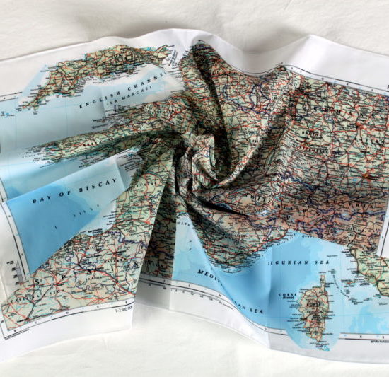
Escape and Evasion Maps
Original Escape and Evasion maps of the period were often printed on fabric to support covert operations and resistance behind enemy lines. Escape and Evasion maps remain crucial in the liberation of airmen and in paving the way for successful campaigns today. Now they find their use in relaying the important facts of the Liberation for future generations.
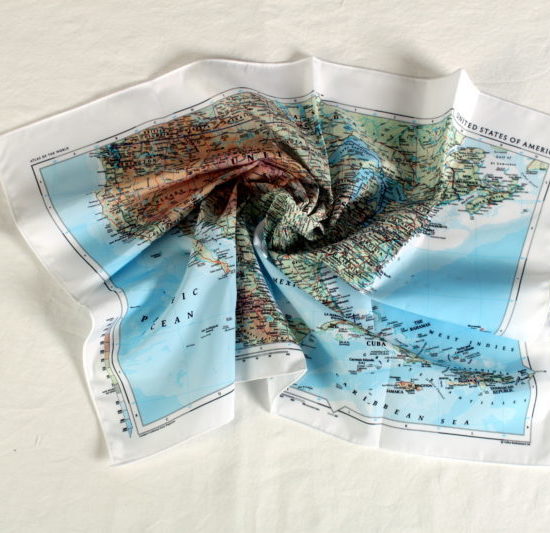
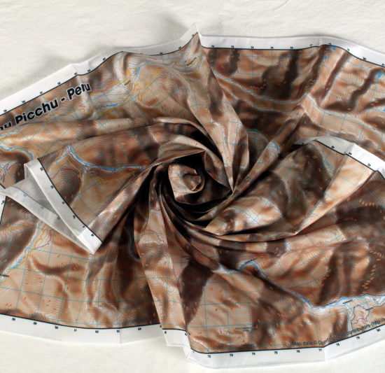
SplashMaps’ Pro weatherproof fabric
SplashMaps’ Pro weatherproof fabric will survive everything. The map will guide you to the key locations and live as a memento of key events from your and the world’s history.
Key content
Boldly marked advancements of the Allied and Axis in Gommecourt, Serre, Beaumont Hamel, Beaucourt, Le Sars, Martinpuich, Ovillers, La Boisselle, Morlancourt, Bray, Peronne, Combles, Guillemont, Ginchy, LesBoeufs, Flers, Bapume, Albert, River Somme, Front Line.
Size
140cm x 88cm
Only logged in customers who have purchased this product may leave a review.


Reviews
There are no reviews yet.