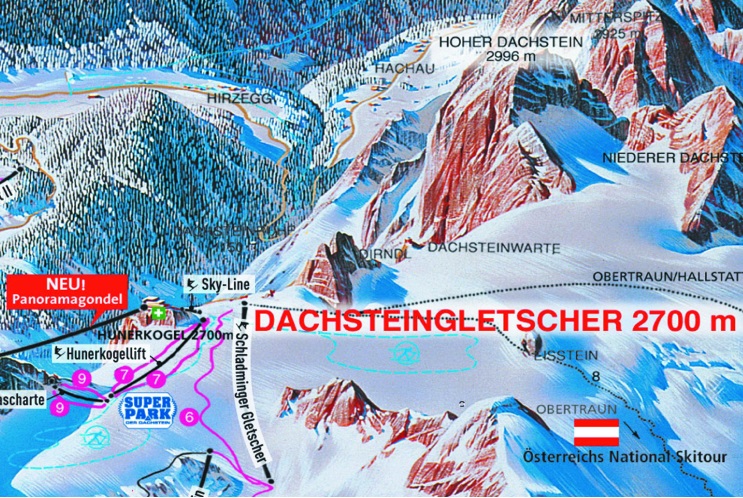

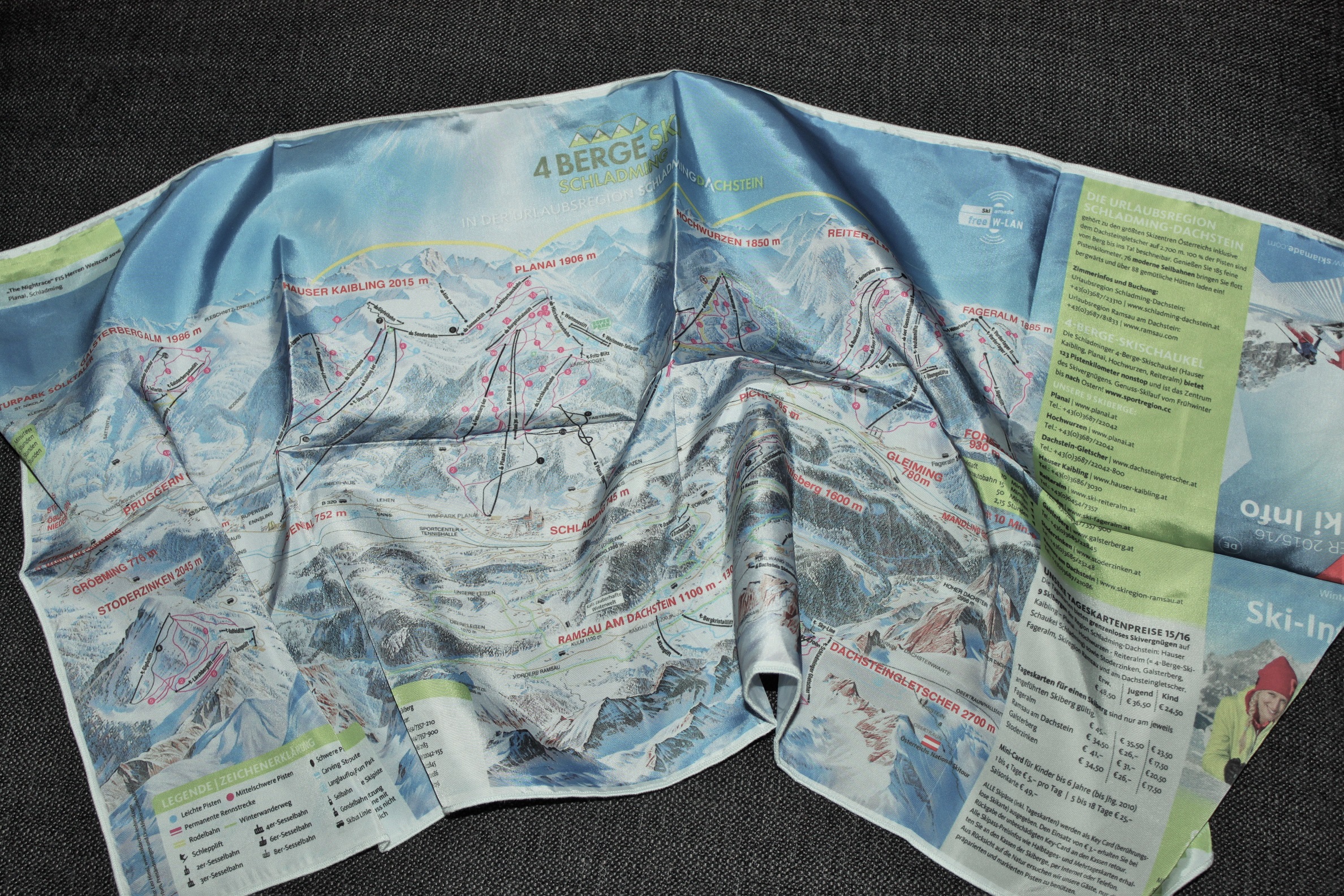
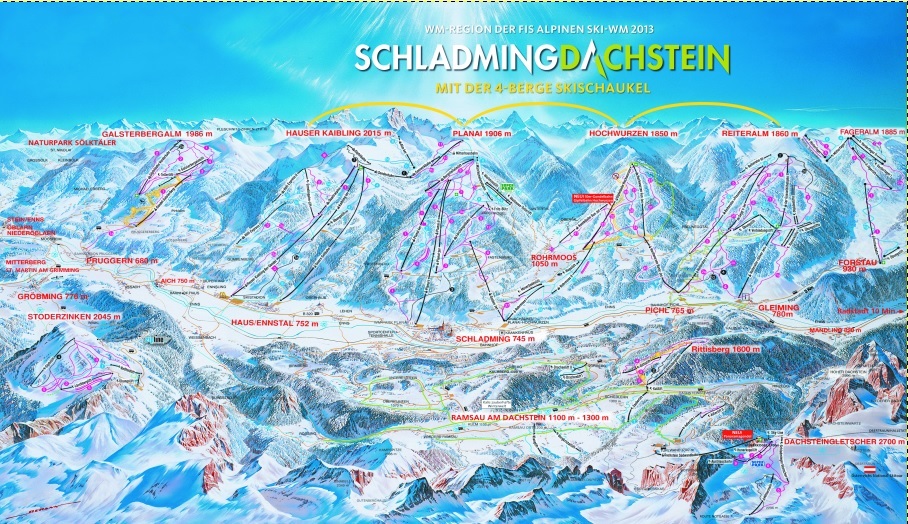
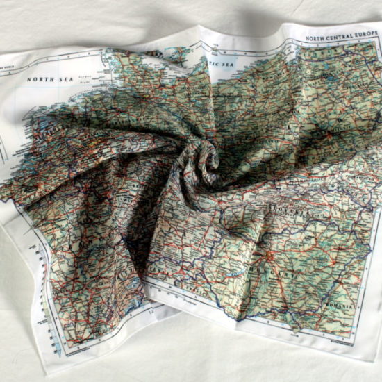
 The Schladming Dachstein map covers the beautiful Austrian ski region. It is the local resort’s piste map printed onto our weatherproof breathable fabric. Ideal for Skiing it features all the runs, lifts, stations, towns, mountains and terrain.
KEY INFORMATION:
Major Settlements:
Schladming, Rohrmoos, Pichl, Gleiming, Forstau, Oblarn Neideroblarn, Pruggern, Aich, Dachstein
Major Peaks:
Galsterbergalm, Hauser Kaibling, Planai, Hochwurzen, Reiteralm, Fageralm, Rittisberg
Size of product (including borders):
58cm x 35cm
Save
Save
Save
| Dimensions | 58 × 32 cm |
|---|
Only logged in customers who have purchased this product may leave a review.


Reviews
There are no reviews yet.