![2013-07-03_northumberland_central [Titles]](https://www.splash-maps.com/wp-content/uploads/2013/07/2013-07-03_northumberland_central_tn.jpg)
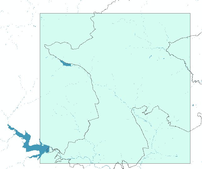

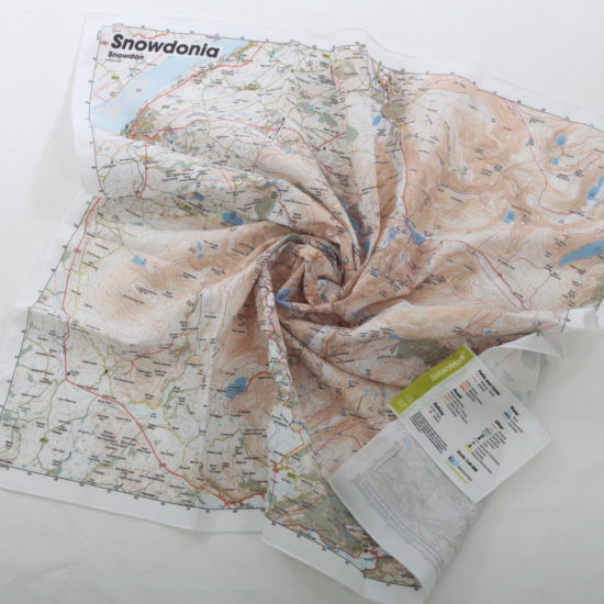
The Northumberland Map Central SplashMap covers the central section of the Northumberland National Park, is available in our fabulous destination map style! The Map is designed for outdoor adventures and features contours, the OS national grid, walking and riding trails, clearly designated and numbered roads and water bodies. Our signature pub, car park, church and camping symbols make navigating to your start and end points a doddle.
Check out what local Mountain leader and Rescuer, Will Close-Ash has to say about the Northumberland Maps from SplashMaps.
KEY INFORMATION:
Major Features and Settlements: Otterburn, Cross the Border Forest Park, Catcleugh, Lumsdon Law, Blindburn, Wether Cairn, Holystone, Harbottle, Elsdon, West Woodburn, Kielder Water, Holystone, Cold Law, Otterburn, Elsdon, Whitelee Bridge, Byrness, Greyhound Law, Lumsdon Law, Cold Law, Dues Hill, Clenell Street, Copper Snout, Kidland Forest, Inner Hill, Dryhope Hill, Sneer Hill, Nettlehope Hill, Bell Hill, Fulhope Edge, Brownhart Law, Black Middens, Belling Rigg, Bumhead, Biddlestone, Rookland
National Grid Coordinates (Easting, Northing / Grid Reference):
Lower-left – 369000, 585000 / NY690850
Upper-right – 396600, 612600 / NT966126
Scale:
1:40,000
Dimensions on map:
27.6km x 27.6km
Size of product (including borders):
72cm x 72cm (approximately)
| Weight | 0.06 kg |
|---|---|
| Dimensions | 72 × 72 cm |
| Map Scale | 1:40 000 |
Only logged in customers who have purchased this product may leave a review.


Reviews
There are no reviews yet.