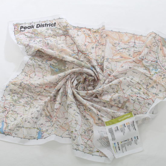
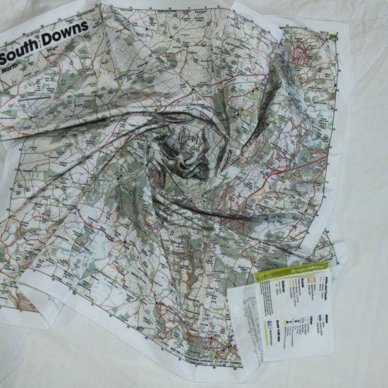
Description
The Klimanjaro Map from SplashMaps is a stunning map in our trusted outdoors style. The Kilimanjaro Map coves the famous trails that lead to the ‘Roof of Africa’.
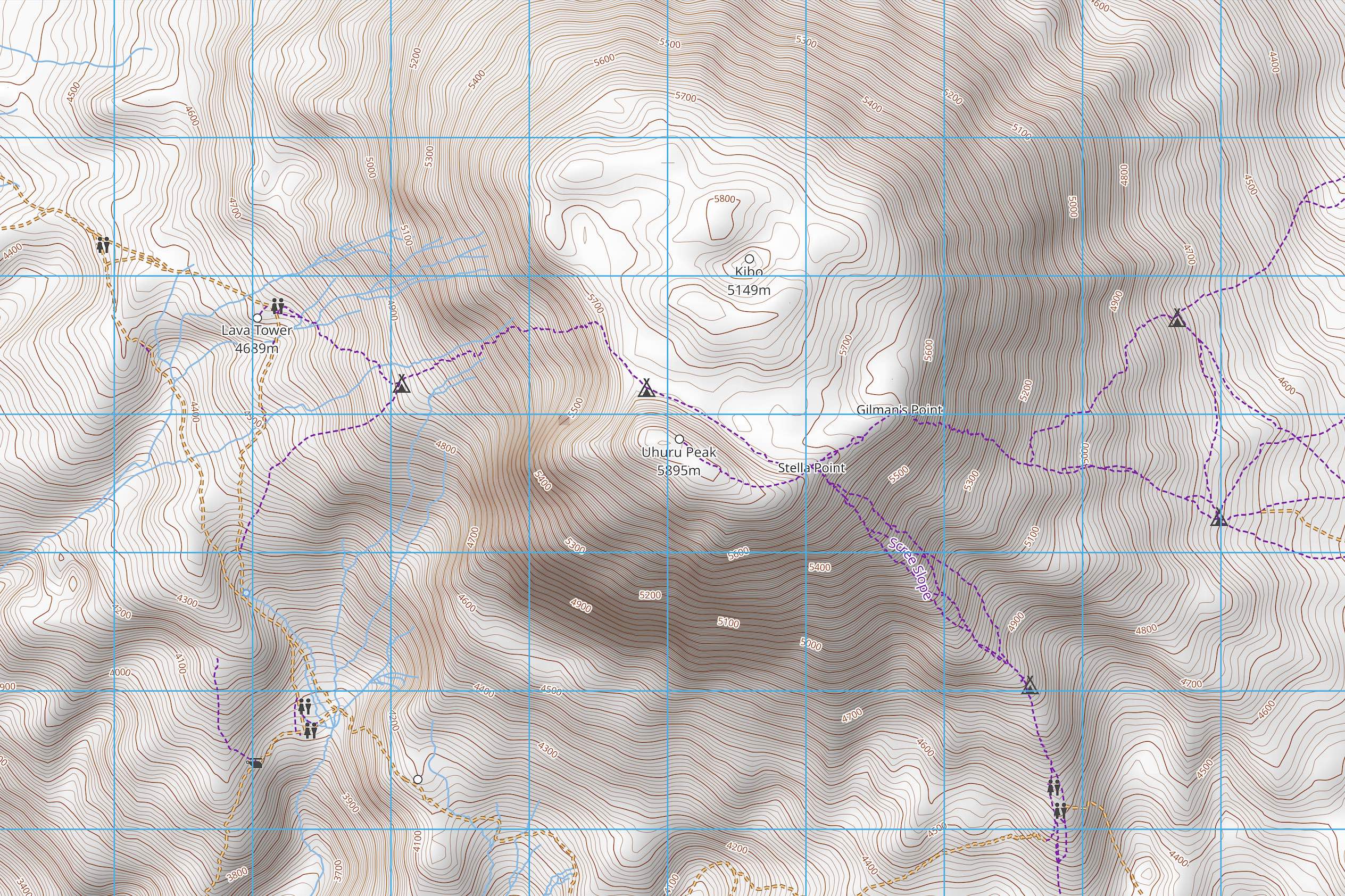
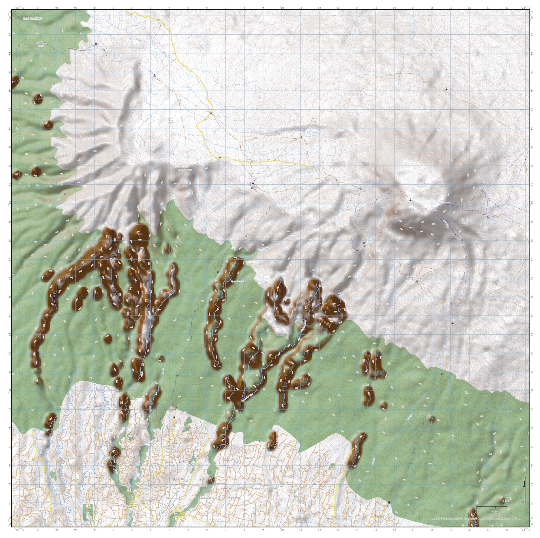
The map clearly shows all the trails, forests, peaks, habitations and all the important navigation features you expect on a SplashMap. For super clear depictions of the slopes this map features hill shading as well as contours.
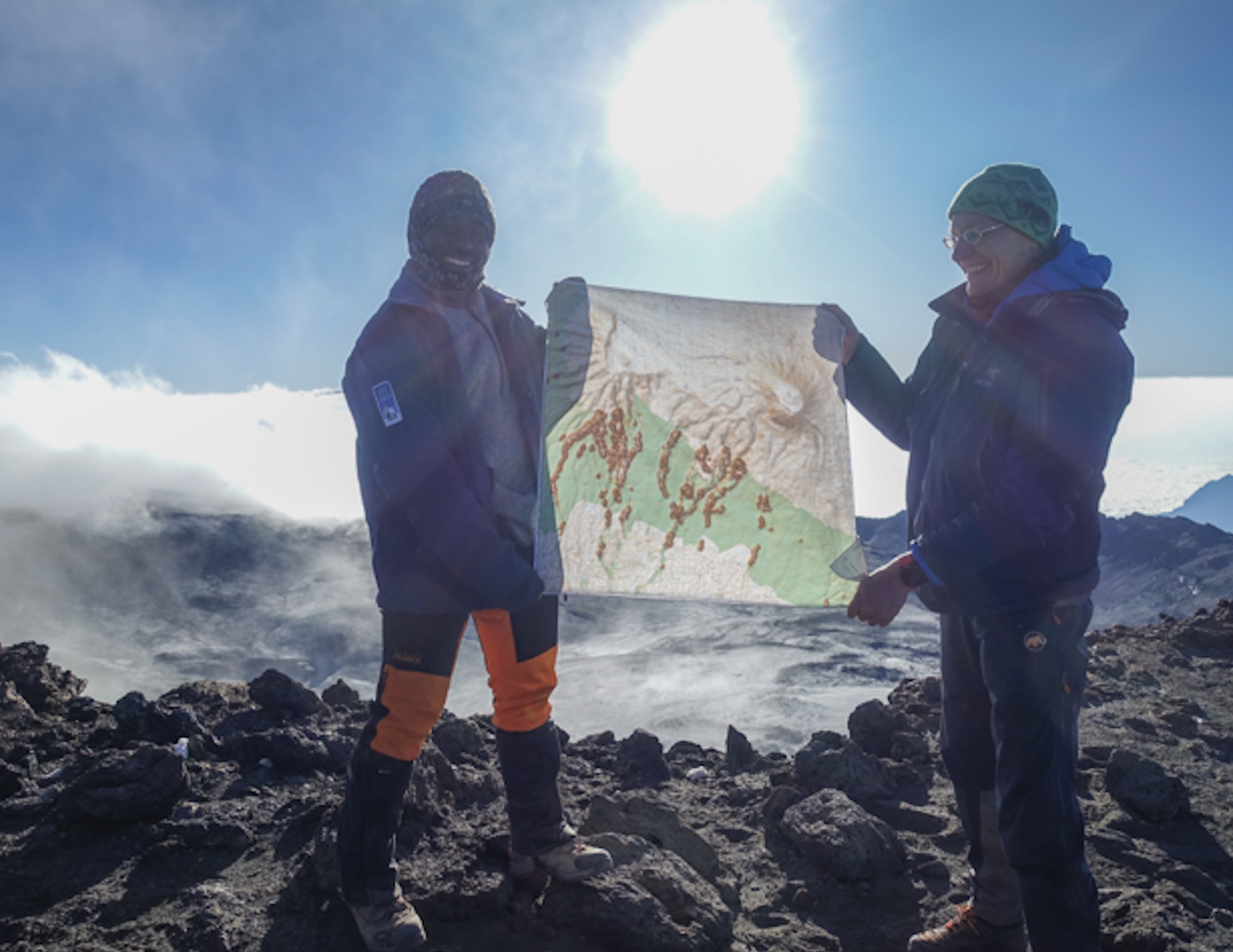
This map was originally defined by one of our favourite adventure customers. Sander Gussekloo says, “I ordered two maps of the Kilimanjaro…and… used them with great joy during our ascent… to the top!”
Sharing the Kilimanjaro Map
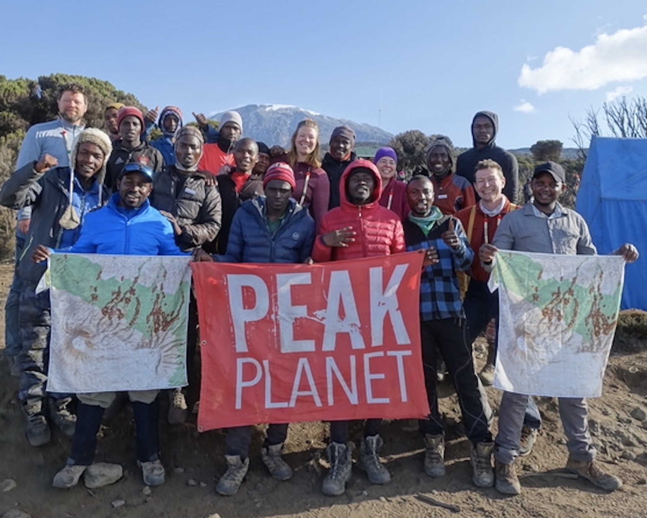
As is becoming a habit for our generous customers, Sander knows that great, everlasting maps need to be shared. “Our guides [at Peak Planet] were very enthusiastic about the Splashmap so instead of donating one, and keeping one myself I donated both maps to the guides.”
Sharing your adventure
Why not become the adventurer others want to follow? If you’ve taken part in a popular climb, hike, padddle or ride and had a SplashMap made, email us the details. Yours could be the next best selling
SplashMap!
Our great thanks to Sander for these superb photos of SplashMaps in action.
KEY INFORMATION:
Major Features:
Uhuru Peak, Gilman’s Point, Kibo, Lava Tower, Cathedral Point, Kalai, Machame, Weruweru River, Mweka
NOTE: This map covers all ascents but does not include the start of the more easterly and northern ascent routes (Rongai, Marangu, and Kilema)
Scale:
1:40,000
Dimensions on map:
27.6km x 27.6km
Size of product (including borders):
Only logged in customers who have purchased this product may leave a review.


m.l.gussekloo (verified owner) –
Because of my very good experience with SplashMaps in Scotland I definitely wanted one for my trek up Kilimanjaro. And what a success; not only has it all the benefits of a SplashMap, but it also has more detail than any other map I tried to find of Kilimanjaro! The guides were very impressed by the map (because of scale and SplashMap additional features) so I donated both my maps to the guides of PeakPlanet. But, of course, I still wanted one for myself so I ordered new ones for me and another member of the team in Tanzania. I made this for the Lemosho route, but it can be used for other routes as well. I normally use SplashMaps for all the Munros (Mountains over 3000 feet in Scotland) and am very pleased with the fact that the are waterproof, can be just tucked into a pocket, are sturdy, and you can draw on them and wash them when needed. In addition, you can use them as a scarf around your neck or on top of your head. To summarise: this is the best map of the Kilimanjaro you van buy.