Description
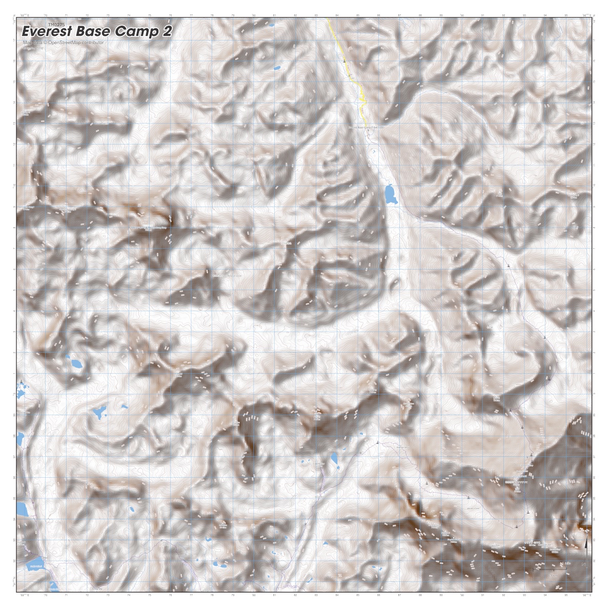
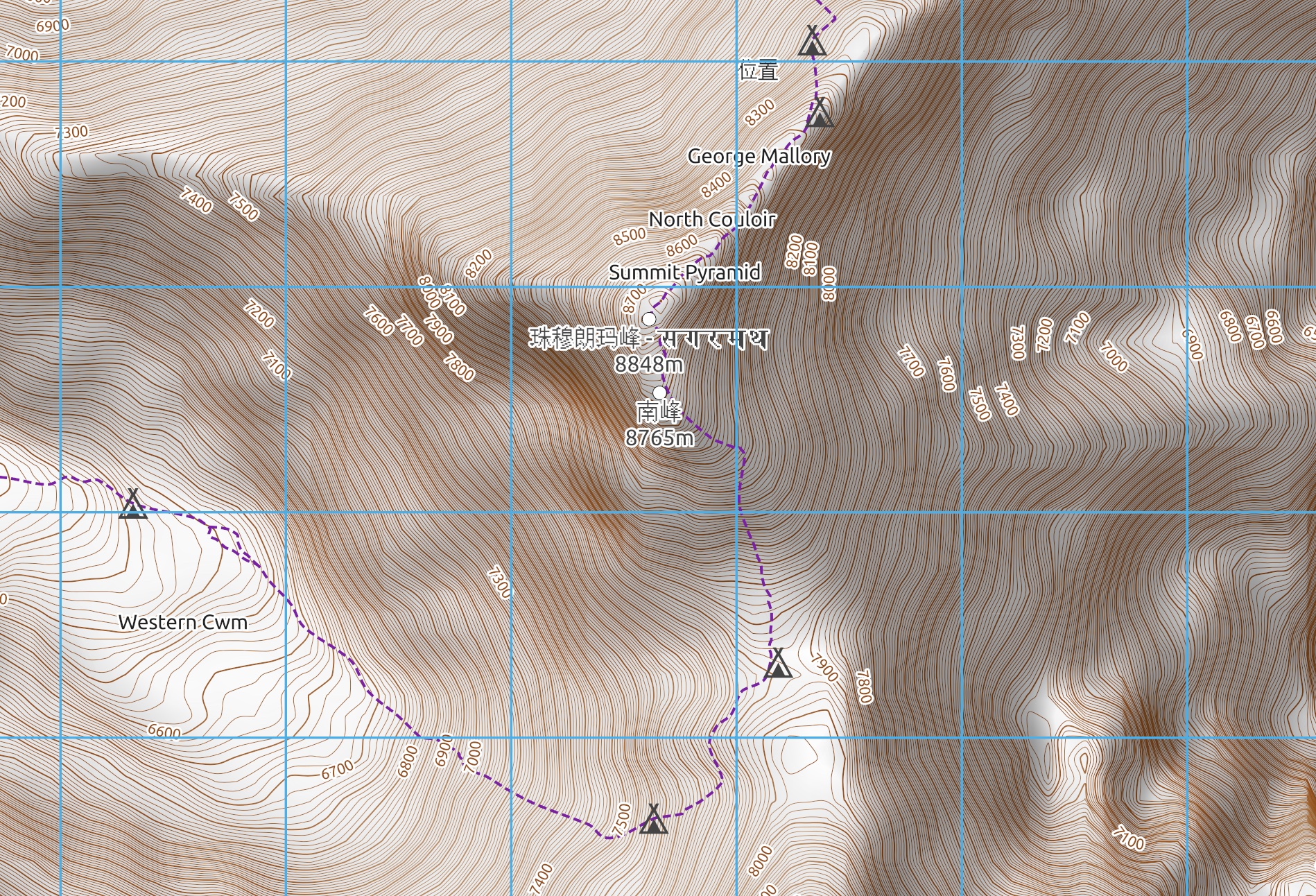
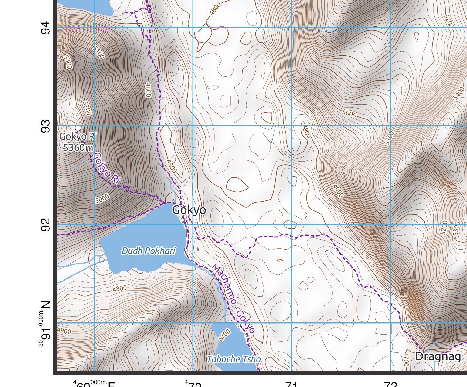
The Everest Basecamp Map 2 from SplashMaps is a stunning map in our trusted outdoors style. It’s part of the 2 part Everest Basecamp Map series that coves the famous trails around the ‘Roof of the World’.
Find Part 1 HERE.
The map clearly shows all the trails, peaks, habitations and all the important navigation features you expect on a SplashMap. For super clear depictions of the slopes this map features hill shading as well as contours.
This map was originally defined by one of our favourite adventure customers Phil Darroch.
Sharing the Everest Basecamp Map 2
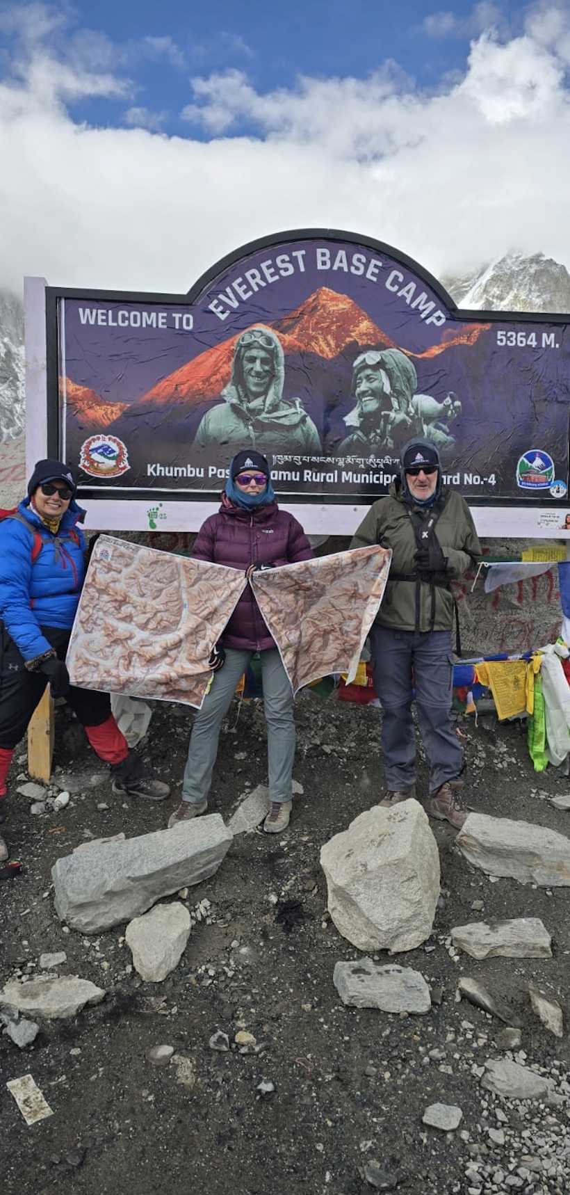
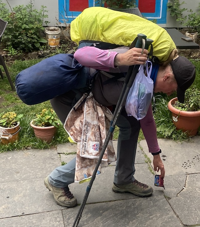
As is becoming a habit for our generous customers, Phil knows that great maps that last forever need to be shared.
We supported the Armed Forces Para Ski Team – veteran amputees – as they and volunteers took-on this challenge. See the pictures of them with their maps and conducting essential litter picking en-route above. Learn more about them
here.
Sharing your adventure
Why not become the adventurer others want to follow? If you’ve taken part in a popular climb, hike, padddle or ride and had a SplashMap made, email us the details. Yours could be the next best selling
SplashMap!
Our great thanks to Phil setting up this superb map series.
KEY INFORMATION:
Major Features:
Treks: Gokyo Ri, Machermo Gokyo, Everest to Gokyo via Cho La, Kongma La Trail, Gorak Shep-Kalar Patthar, Everest Ascent, Everest Descent
Peaks: Hillary Peak, Lhotse Shar, Summit Pyramid, Nuptse Nup, Hunchi, Lobuche,
Places: West Rongbuk Glacier, Last, Everest Basecamp (Tibet side), Cho La Pass,
Scale:
1:40,000
Dimensions on map:
27.6km x 27.6km
Size of product (including borders):
Only logged in customers who have purchased this product may leave a review.


Reviews
There are no reviews yet.