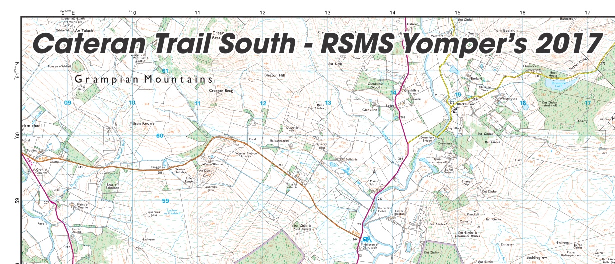
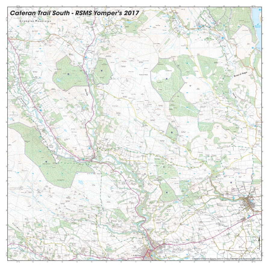
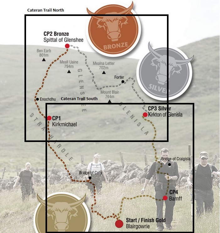

The Cateran Trail South– The Perthshire Hills, Scotland
The Cateran Trail is a circular challenge for people who love the long distances around the Perthshire Hills. Located just an hour and half north of Edinburgh and Glasgow, the route takes you through some of the most remote and hidden areas of Scotland.
This 2 series map (for the full trail order the The Cateran Trail North as well) has been specifically commissioned for the 2017 Cateran Yomp, a charity walk in aid of service men. However, its beautifully clear and precise cartography on a versatile and light-weight fabric mean it’s the ultimate walking map of the region for anybody to use.
“The Yomp (a military term for a long-distance march) is an epic adventure challenge. Teams of 3-6 people take on 54 miles (gold) in 24 hours across the rugged terrain of the Scottish wilderness. There is also a 36.5 (silver) or a 22 (bronze) mile option.”
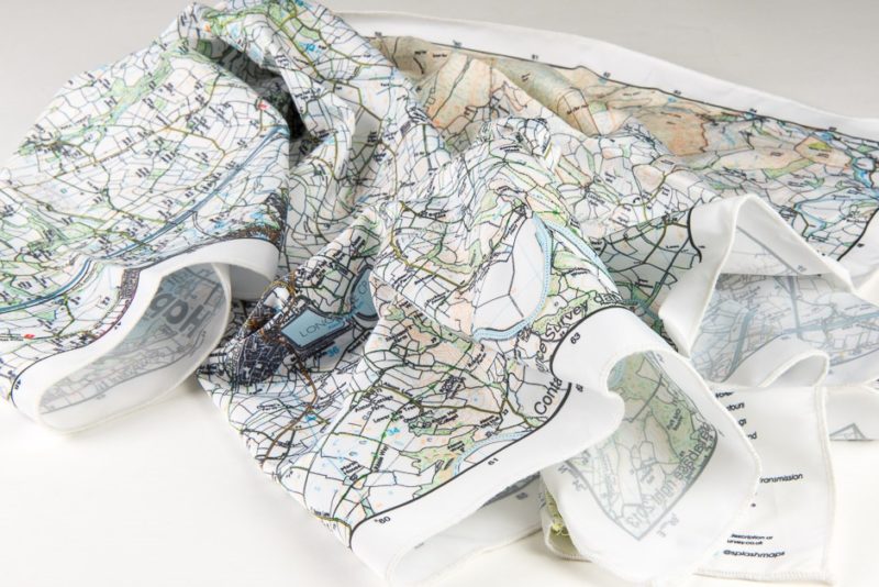
Simple to follow and almost totally indestructuble this is the same Ordnance Survey 1:25k mapping you’d find in the OS’s own Explorer maps. We’ve simply centred it so that the two overlapping maps cover the whole trail.
KEY BENEFITS:
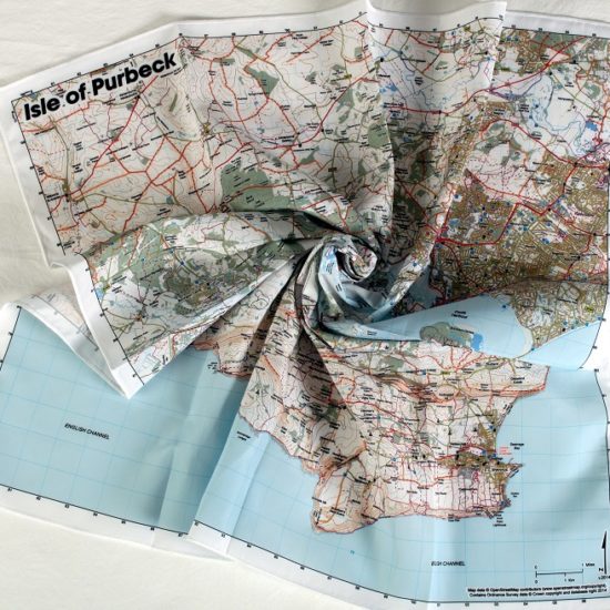
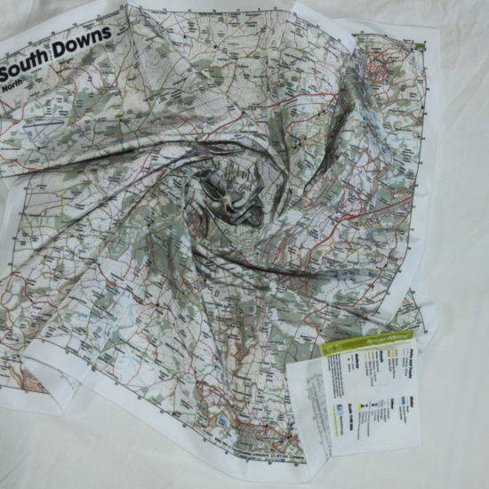
Not only will the maps guide you around the trail, but they make excellent souvenirs of the occasion and of course they have all the wonderful properties of the original SplashMaps; waterproof, tear-proof, breathable, washable, very wearable and able to be scrunched up for easy storage.
KEY INFORMATION:
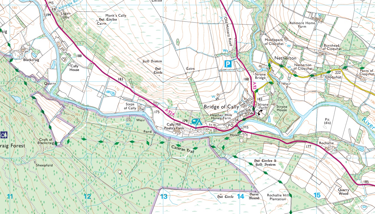
Major Settlements and Features: Blairgowrie, Stormont, Rattray, Bridge of Callay, Strathardle, Glen Shee, Braes of Angus, Glen Isla, Alyth, Grampian Mountians
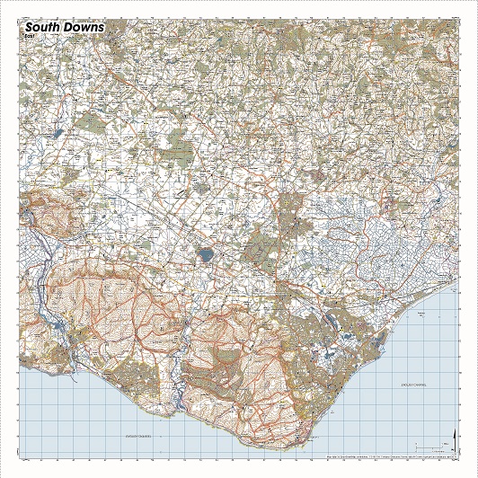
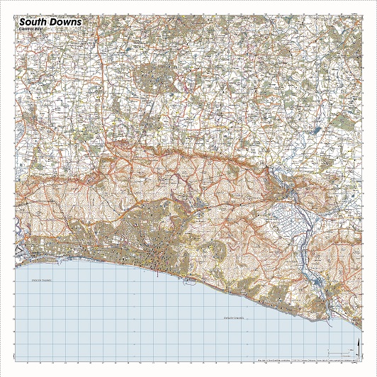
The southern half of the circuit features on our 1:25 000 map with enough detail for countless returns and great days out.
Location: Top Left
308900, 762000
Dimensions on map:
13.8km x 13.8km
Size of product (including borders):
72cm x 72cm (approximately)
Save
| Map Scale | 1:25 000 |
|---|
Only logged in customers who have purchased this product may leave a review.


Reviews
There are no reviews yet.