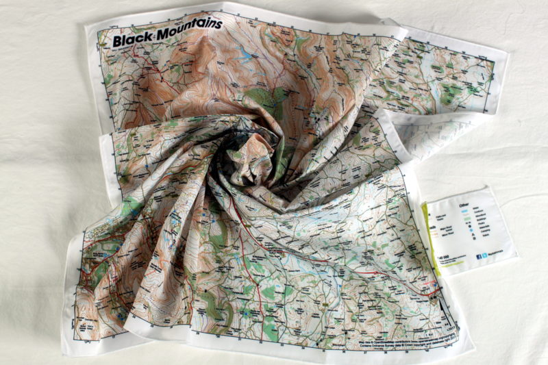
Description
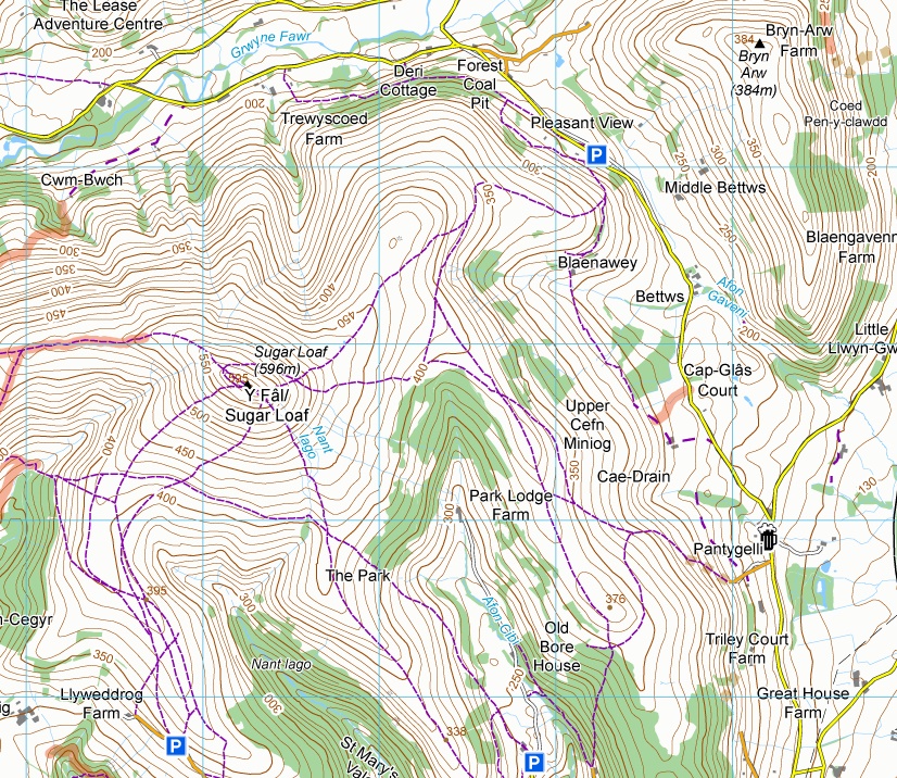
Centred on Sugar Loaf/ Y Fat, near Crickhowell/ Crug Hywel, in the Black Mountains, this rugged landscape is captured beautifully in our contours and ornamentation with the best walking and riding trails clearly marked.
The map covers over 700 square kilometers to cover the entire range.
This map has been tested by Outside your comfort zone’s lead instructor.
KEY INFORMATION:
Major Settlements / Features:
Crickhowell, Capel Y Ffin Youth Hostel, Offas Dyke Path, Black Mountain South Top, Red Daren, Hatterrall Hill, Bacton, Ewyas Harold, Longtown, Clodock, The Wirral, Pen-Twyn Mawr, Mynydd Llangorse, Bwlch, Gaer, Cwmdu, Tretower, Pen Cerrig-calch, Llanbedr, Pleasant View, Llanvihangel Crucorney, White Castle, Caggle Street, Abergavenny, Gilwern, Brynmawr, Ebbw Vale, Blains, Blaenavon, Raglan
National Grid Coordinates (Easting, Northing / Grid Reference):
Lower-left – 314000, 205200
Upper-right – 341500, 232600
Scale:
1:40,000
Dimensions on map:
27.6km x 27.6km
Size of product (including borders):
72cm x 72cm (approximately)
Save
Save
Only logged in customers who have purchased this product may leave a review.


Reviews
There are no reviews yet.