![]()
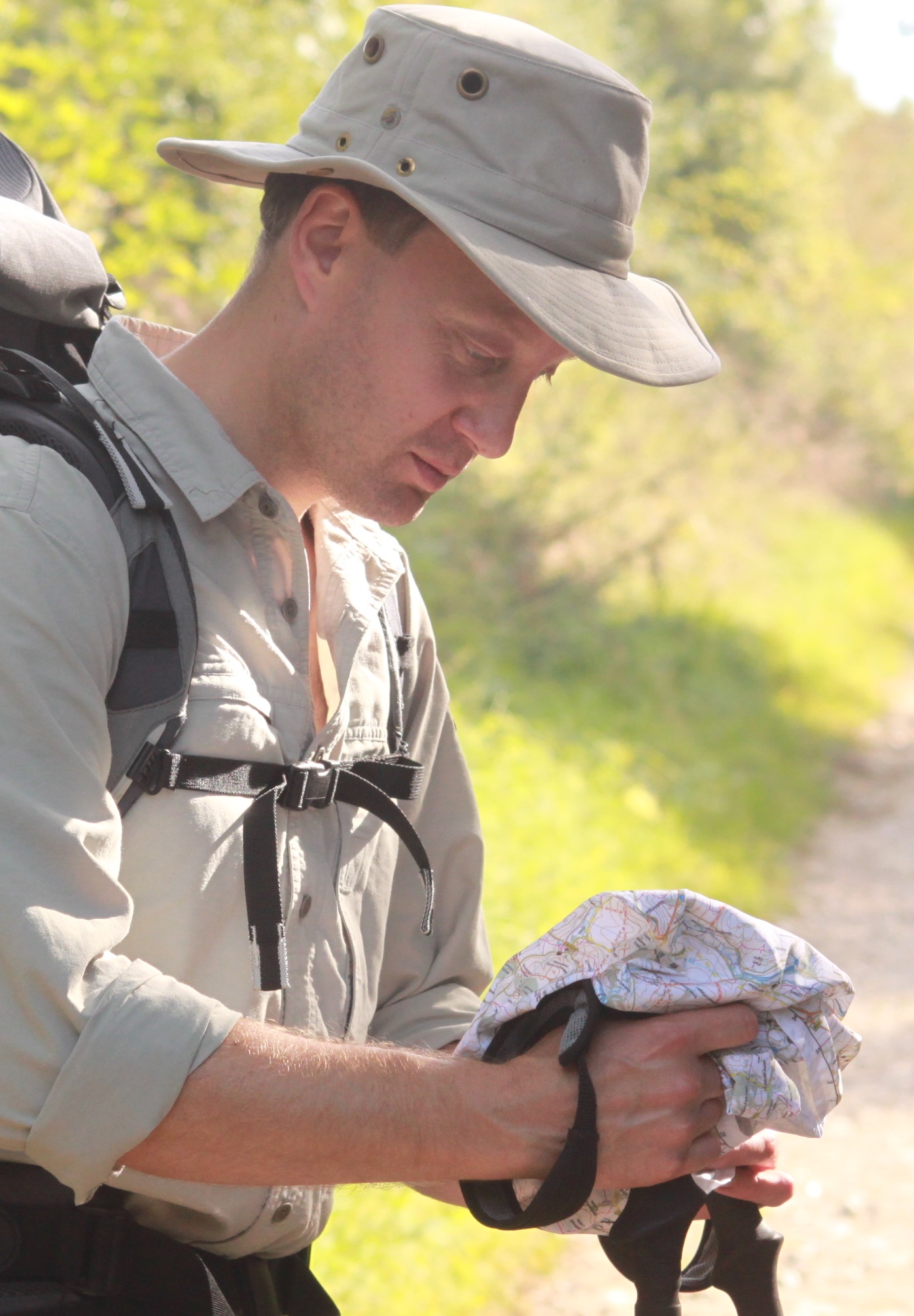
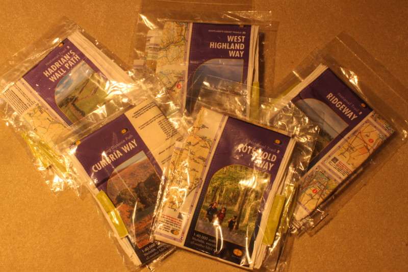
SplashMaps have launched a long distance trails series for the main National Trails in the UK.
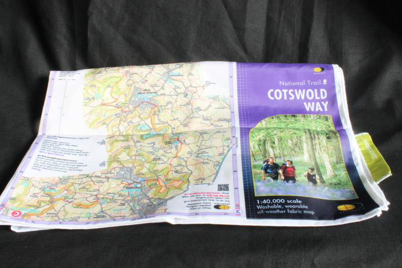
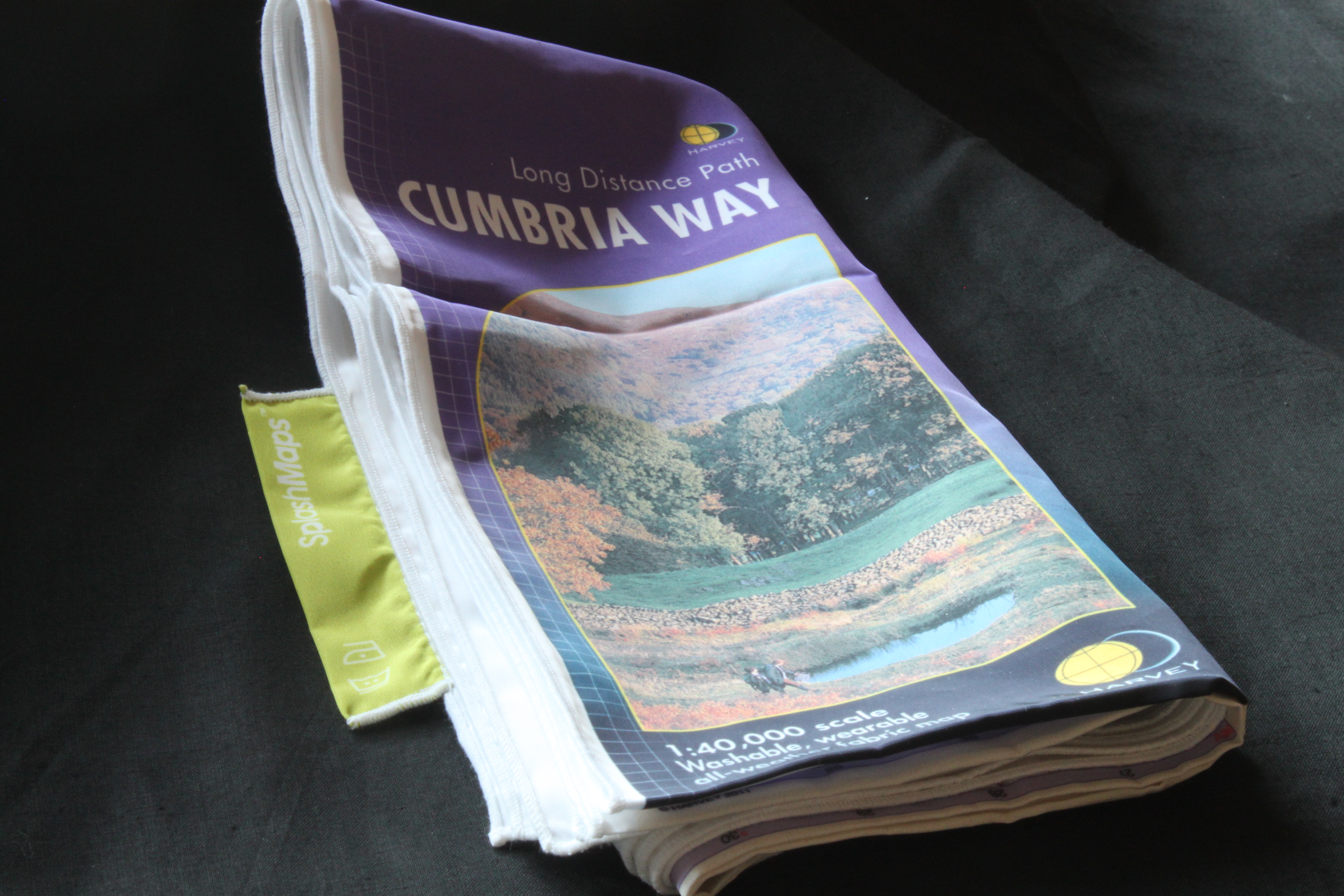
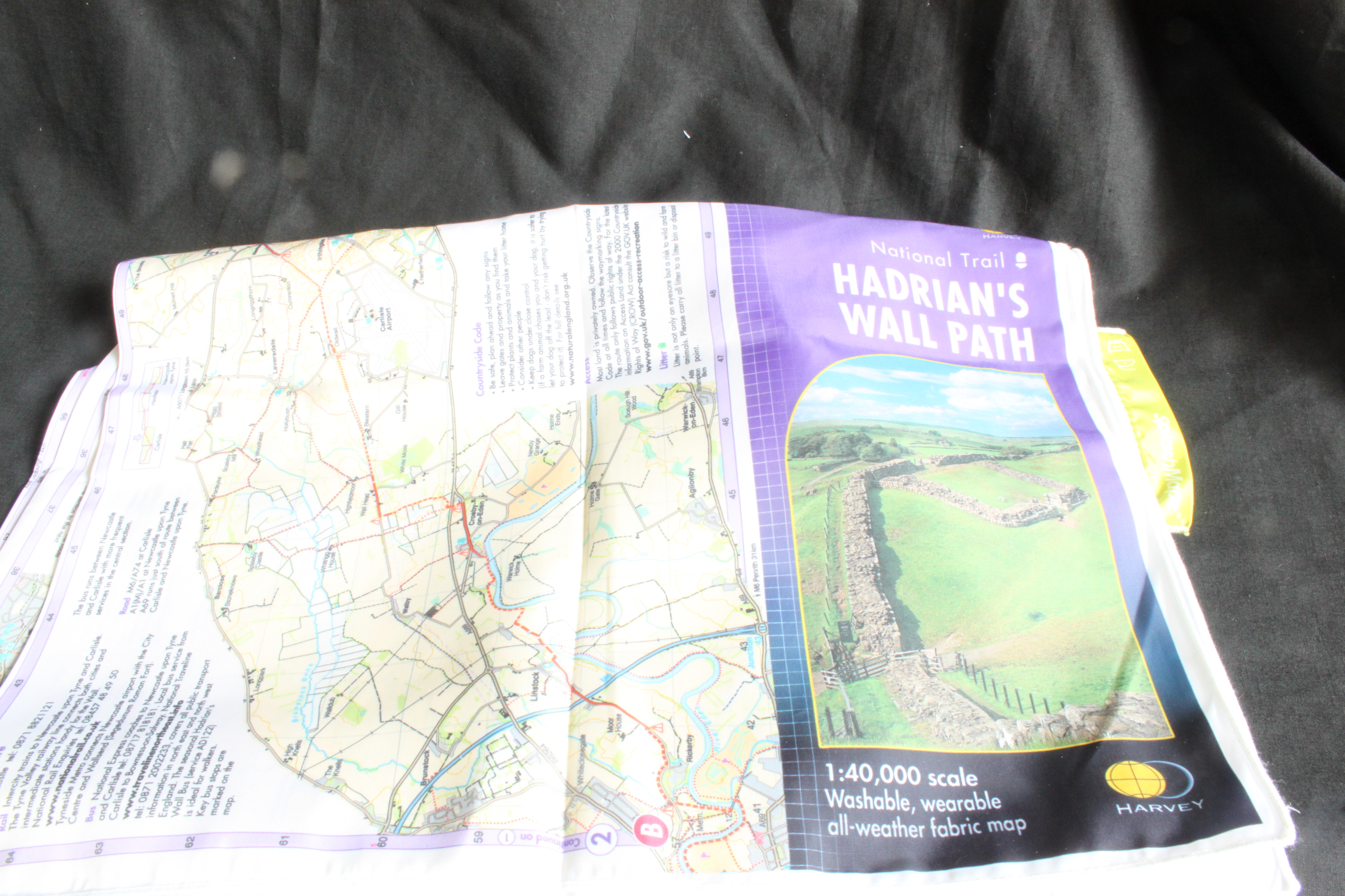
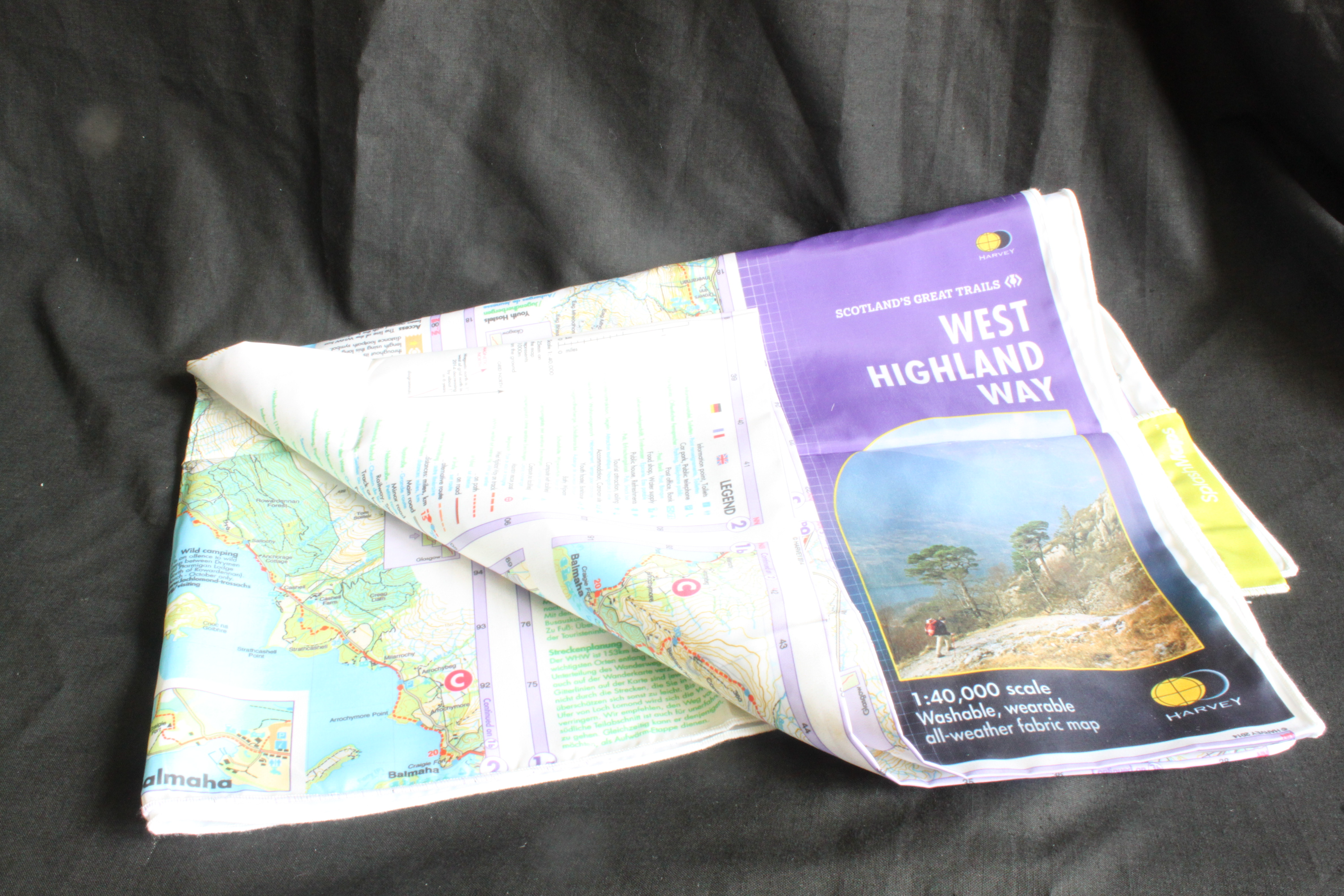
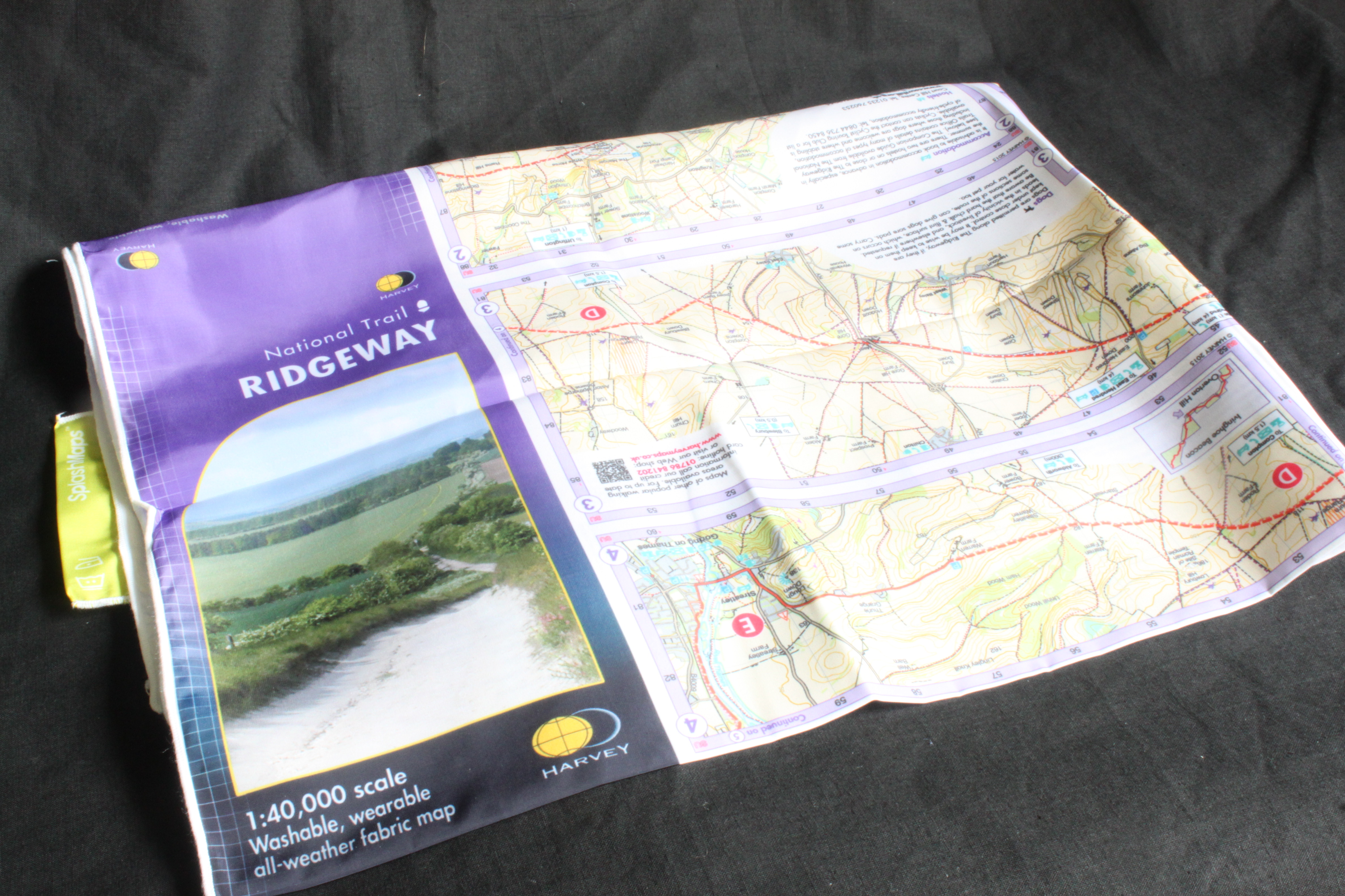
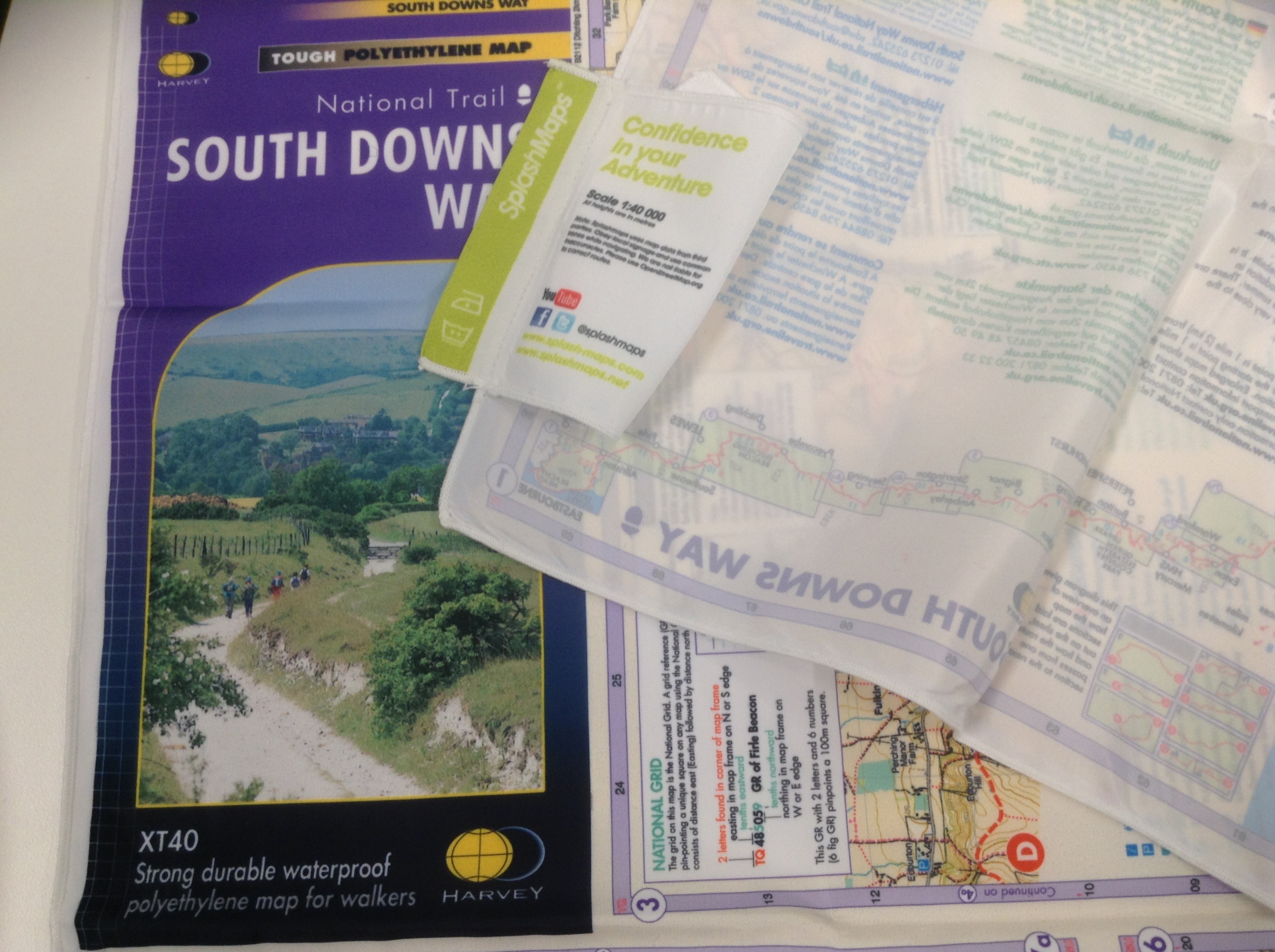
We’ve achieved this with the meticulous and dedicated mapping from Harvey Maps. For 38 years Harvey Maps has been preferring 1:40 000 scale maps of the longer routes in the country. It’s a scale we prefer ourselves on our destination and personalised international maps and, like SplashMaps, HARVEY to make the ideal maps for use in realistic weather conditions. So it made sense to team up to make the HARVEY map even more desirable by reproducing it on our washable, wearable, breathable Pro fabric polyester material.
Susan Harvey writes: “We are delighted to be working with SplashMaps to bring you HARVEY Route Maps in SplashMap format. HARVEY mapping is clear, detailed and designed for use by walkers and cyclists. Each map covers an entire route, cleverly fitted onto a single print. Have fun! “
6 National Trails are now available
We’re completely thrilled to work with Harvey Maps and chuffed that they love the idea of getting their cartography onto our fabrics.
