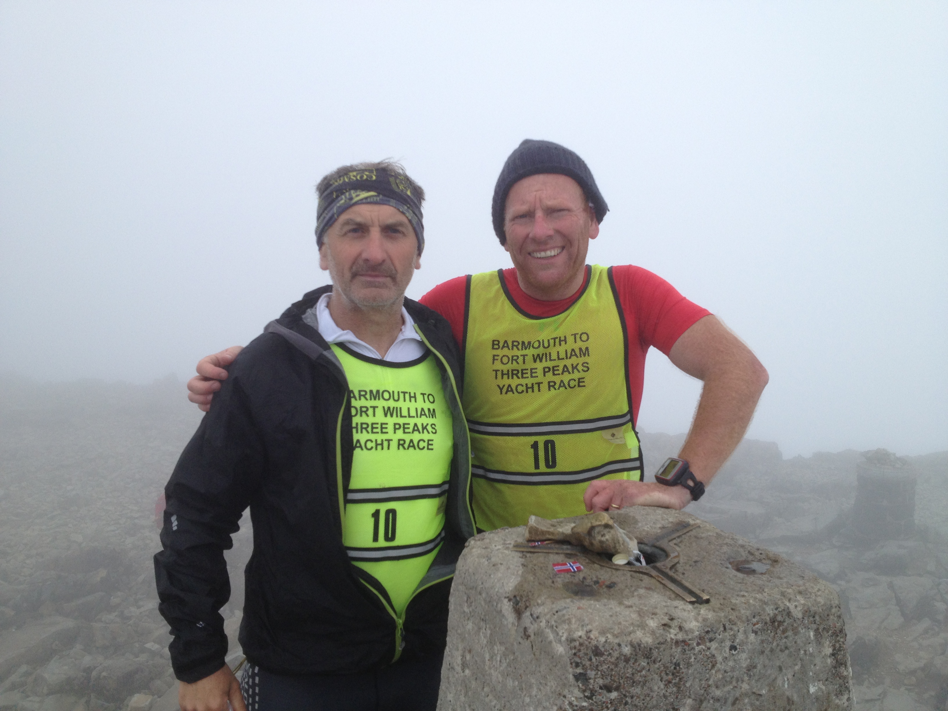
 Peter Larkin was one of the few to complete the Three Peaks Yacht Race this year. He did it with the help of 3 of our REAL outdoors SplashMaps (our unique cartography applied to sound map data and printed onto our weatherproof fabric).
60 years ago the printers at board-game maker Waddington perfected clear printing onto silk. From this unlikely beginning escape and evasion maps were developed and distributed throughout occupied Europe during the second world war. Just like for Peter, and the other REAL outdoor adventurers you’ll find on this site, the escaping PoW’s relied upon the following unique benefits of maps printed onto a fabric.
1) The map is silent -Great for remaining covert when escaping, but nowadays this a huge benefit when riding a horse or when tracking.
2) The map survives harsh conditions – Great for wading through rivers and marshes in the rain, and today people choose to do this when biking, adventure racing, fell running and so many outdoor challenges.
3) The map is scrunchable – Great to conceal the map anywhere to keep it a secret, but also great to tuck away between staging points in your race and almost weightless into the bargain.
I first heard of escape and evasion maps being distributed in Monopoly boxes during a visit to the Royal Geographical Society in London. But since then, particularly when meeting military people and their relatives on our stands, there are so many of these escape map stories around. And you only have to read the comments from our Daily Mail coverage to see the passion and pride there is in the ingenuity of that life saving invention.
