SplashMaps have always served amazing maps of the USA for customers around the world. Maps of the whole world, the North American Continent and even key areas such as the Great Lakes have guided folks on road tours and longer challenges thanks to our relationships with the world’s finest map designers, Michelin and Collins. But now there’s something new!
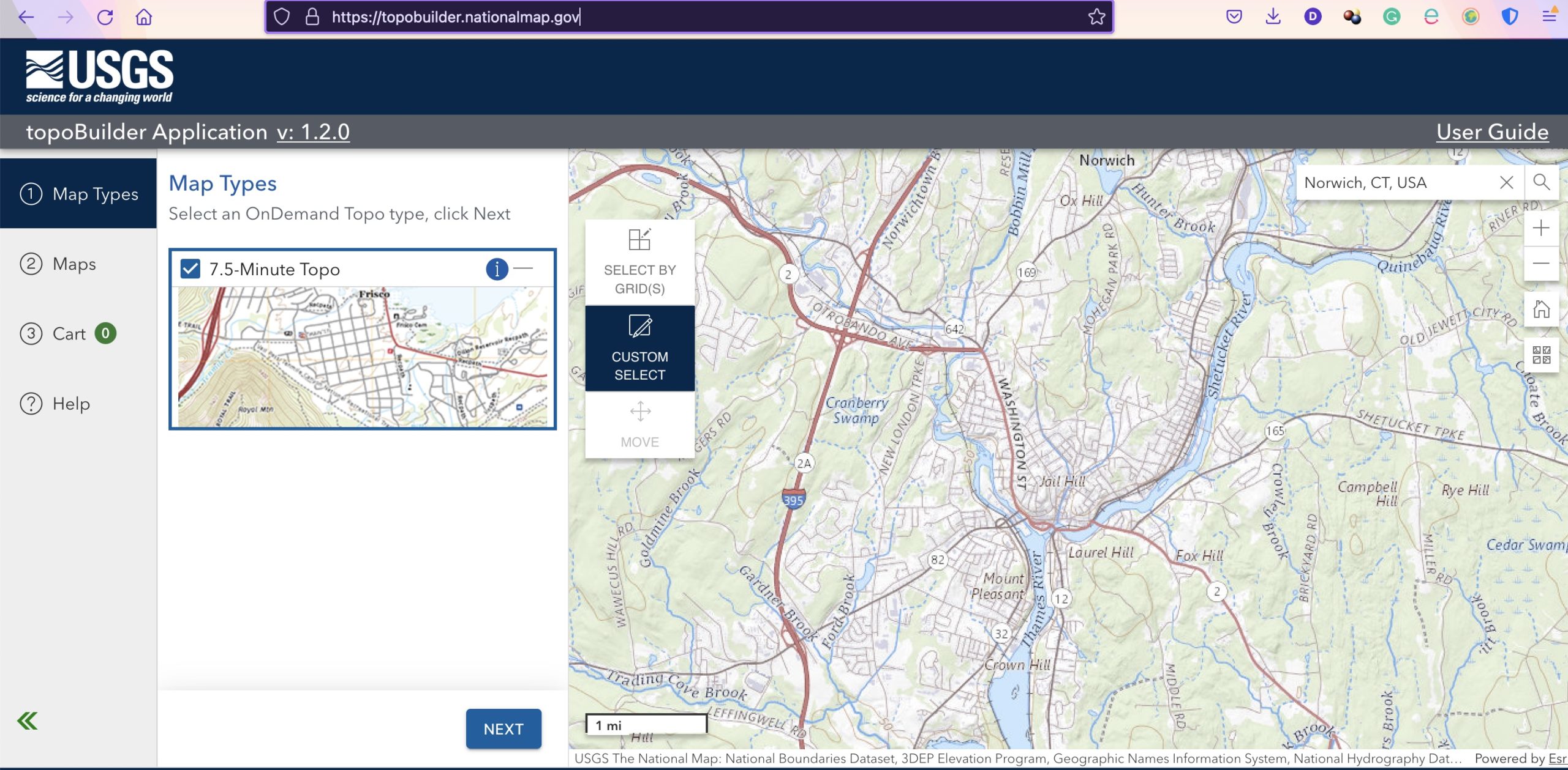
But here’s something new! We’ve always offered an industry-leading customisation service for anywhere worldwide. But, just for America, and their love of slightly different scales, styles and units of measure, we’ve developed our US Geological Service (USGS) customization service.
With the whole country to choose from, you can create a map to find the best places for hiking in the USA close to where you’re staying. Simply head to the USGS TopoBuilder here.
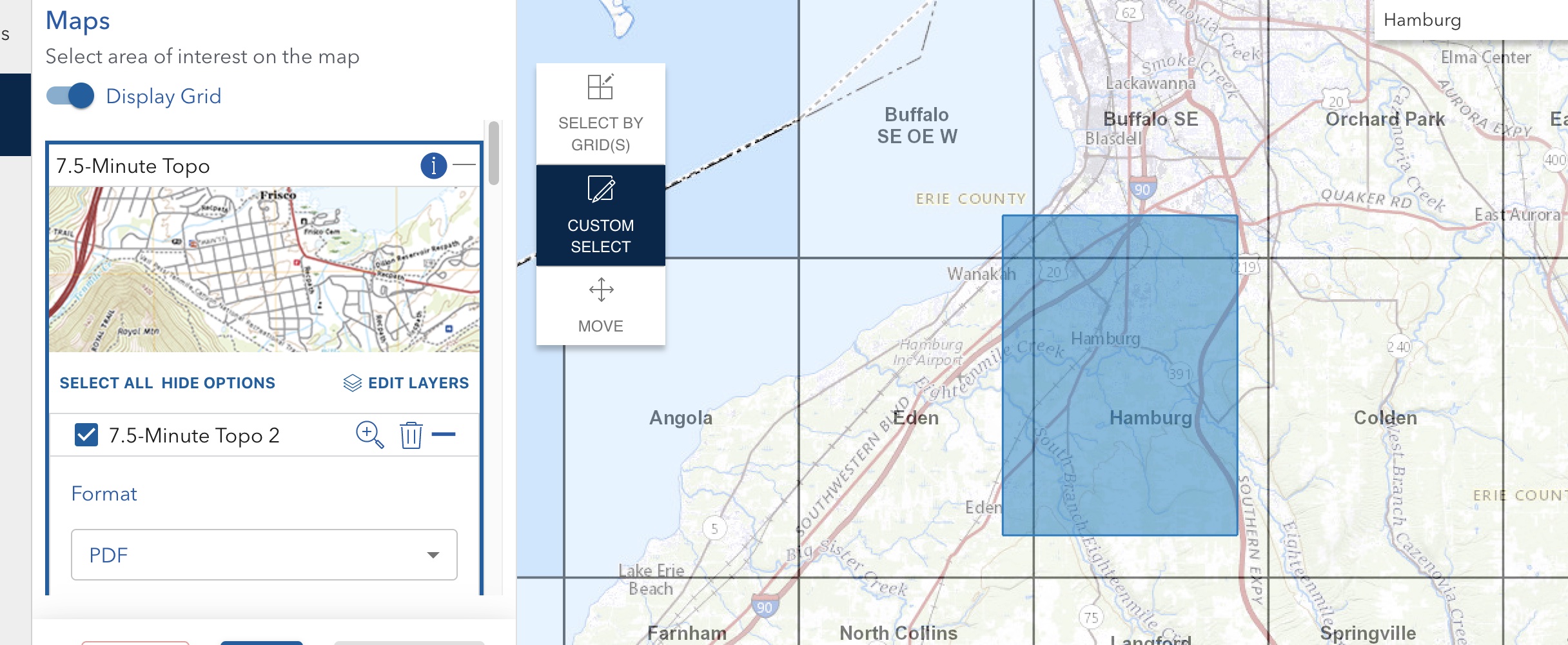
3 simple FREE steps and you’ve created the map and they’ll send you a link to a printable file.
Next, order the ideal maps for hikers in the USA via the ‘Your Design SplashMap” service here.
Once paid, forward the link USGS sent you together with the order number SplashMaps sent you.
Within 15 working days that map will be on its way to you!
Our USA customers have always tested SplashMaps in the extremes. Could now be the time to order for a white water adventure?
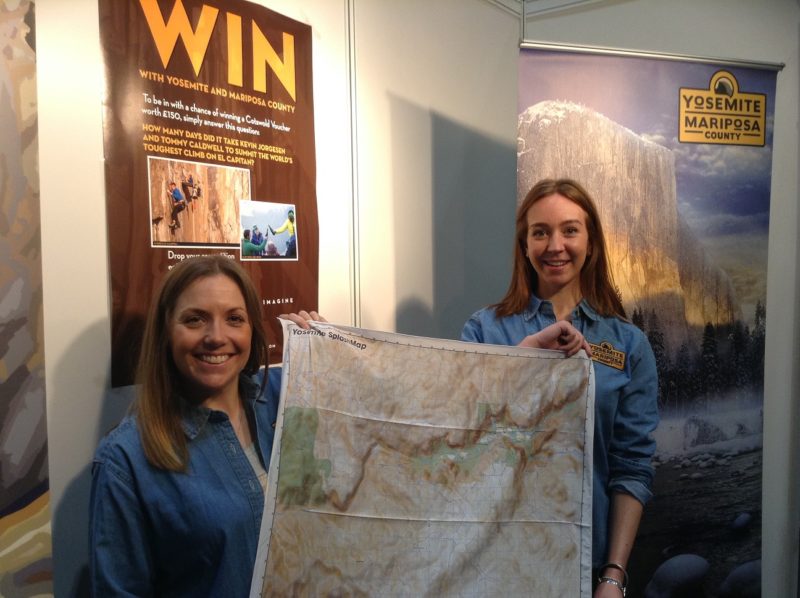
Our Yosemite map at our usual 1:40 000 picks out the main features beautifully. But now you can order the map exactly as the official map makers in the USA intended.
