Battlefield guiding is a demanding profession. Guides often lead clients through rugged terrain in adverse weather conditions while relating complex historical stories. Traditional paper and folding maps were the staple tools for building some engaging context. Not any more! Now there’s a new contender on the battlefield – SplashMaps’ Historical maps. But how can a simpler, innovative map format really revolutionise the guiding experience?
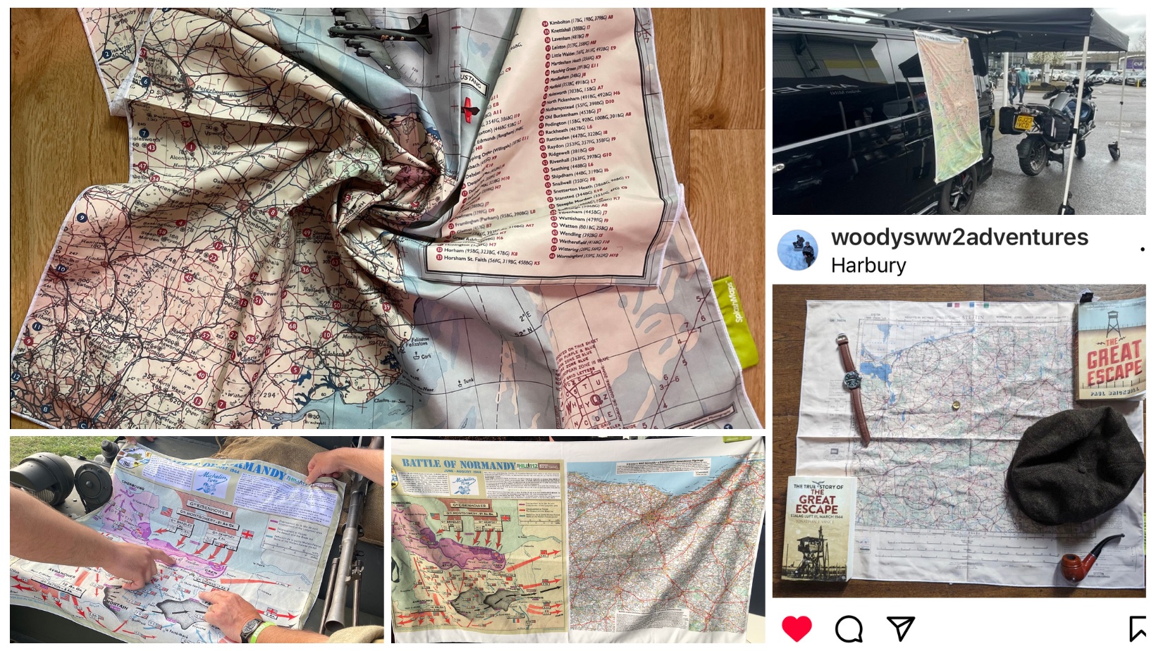
SplashMaps’ battlefield maps offer a host of advantages over traditional paper counterparts. Made from durable, weather-resistant fabric, they’re the only maps designed to withstand everything nature could throw at them. They’re easily portable, folding down to a fraction of the size of paper maps, and can even be pinned to the ground or stuck to vehicles for easy reference.
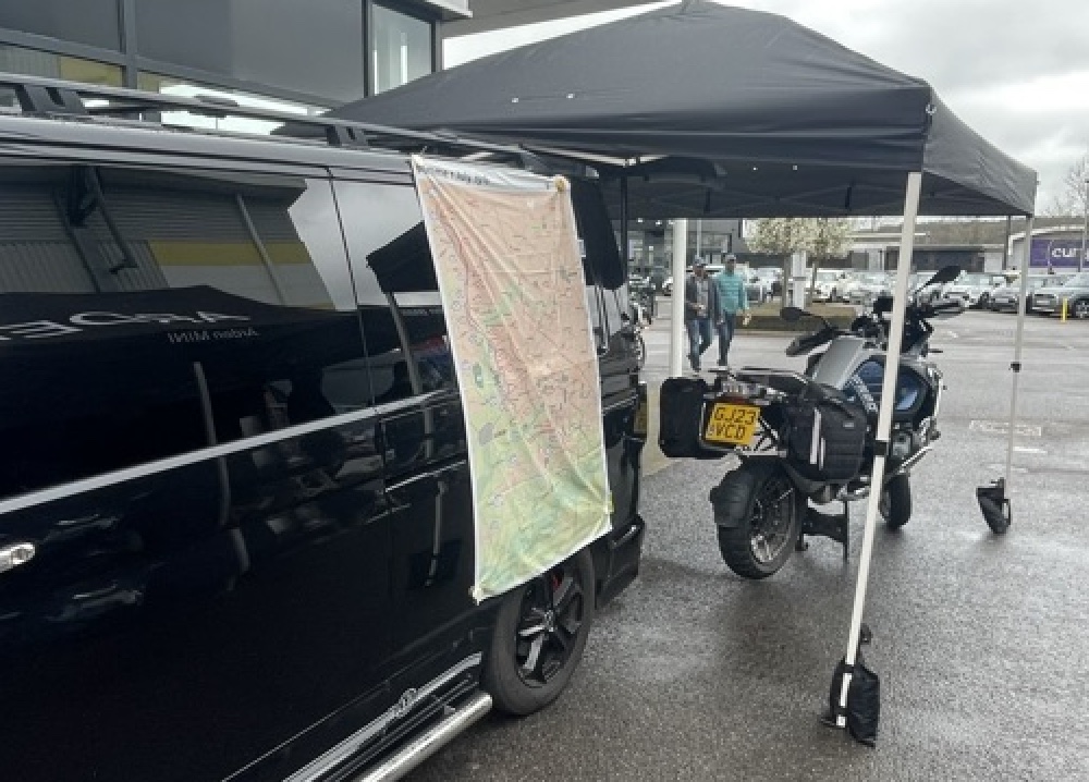
For battlefield guides and their clients, SplashMaps’ fabric maps enhance the guiding experience in so many ways. Regardless of weather conditions, these maps excell while the competition turn to mush. Now, tours proceed uninterrupted come rain wind or worse. They’ll even double-up as weather proof protection against the elements as a bandana or scarf, as motorbike tour guide, Andrew Burcher discovered.
‘SplashMaps are getting some great comments from our clients! And I love wearing them as a windproof scarf as we bike-it between different locations’.
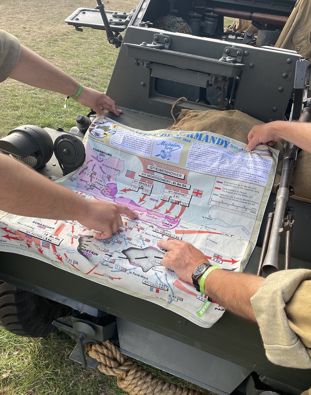
It’s not just the best made map in the world, SplashMaps’ access historical map archives, particularly for 20th-century battles, puts them way ahead of the competition. Expert battlefield guides contribute to map design, ensuring accuracy and relevance. Additionally, partnerships with map makers like Michelin provide access to popular explainer maps and base mapping for re-enactments and remembrance.
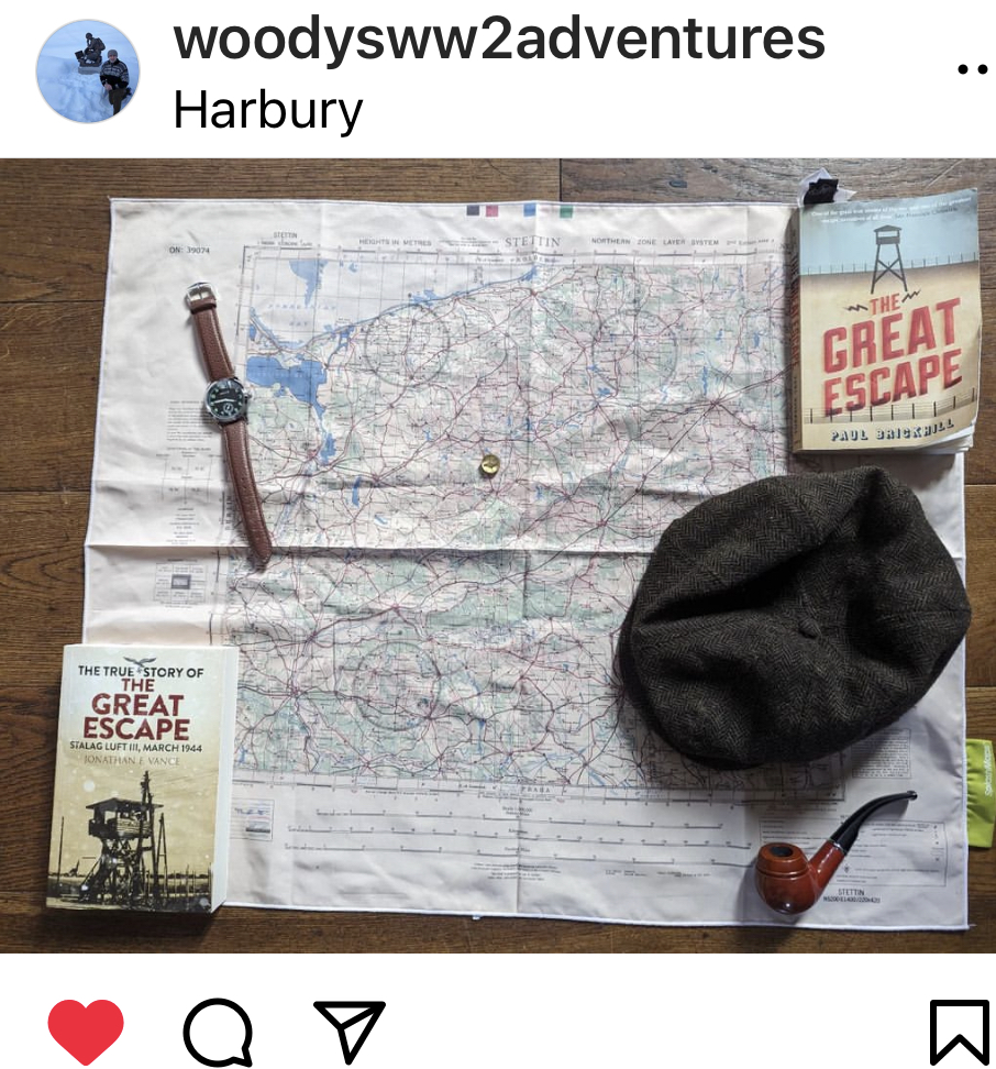
Julian Woodall, a seasoned guide, praises SplashMaps for their reliability and longevity. He used our research service to find the ideal map for his latest challenge. ‘The historical map of the German/ Polish border land was perfect for my Great Escape tour’ earlier this year.
His investment in a SplashMap may have been a larger upfront cost, but considering their likely 10x longevity compared with folded maps, they offer significant long-term savings over his multiple visits to the same battle sites.
SplashMaps offers extensive customisation options, allowing guides to personalise maps with their logo, overlays, and other preferred features. Upgrades to premium fabrics and wide-format printing let you tailor to your preferred remembrance style.
SplashMaps’ commitment to sustainability is evident in their zero-waste print process and use of recycled materials like SplashTex, made from post-consumer plastic bottles. Maintenance is a breeze – simply toss the map in the washing machine after a trip for easy cleaning without degradation of image quality.
How will you use yours? Jo Hook and SOE Adventures’ Matt Smith have top tips and firsthand accounts of their experiences with these innovative maps.
As we commemorate the upcoming historic anniversaries, now’s the time to equip with tools that honour the brave and enhance our understanding. Battlefield guides, museums, and WW2 enthusiasts, now is the time to experience, take stock and embrace the difference with SplashMaps’ Battlefield Maps. Explore our range today and navigate history with confidence.
