From the rolling hills of Appalachia to the rugged peaks of the Rockies, there is no shortage of stunning landscapes to explore in America. And what better way to navigate these natural wonders than through USA maps from SplashMaps?
That’s why, today, SplashMaps brings the US’s most famous maps into its custom fabric map service. At last, for the USA, the freedom to Adventure more reliably and more frequently is available to all.
Whether you’re an avid hiker, a history buff, or just looking for a new adventure, exploring America’s diverse landscapes through maps is a thrilling way to experience the beauty of that great country. With each contour line and topographical feature on our weatherproof fabric, you can discover the hidden treasures and unique features that make each region of the United States so special.
Maps have been used for centuries to explore and navigate the world’s landscapes. Early explorers and cartographers created maps to help them navigate new territories and chart unexplored regions. Over time, maps have become an essential tool for scientists, geologists, and adventurers, helping them to understand the natural world and navigate its many challenges.
In America, maps played a significant role in the country’s westward expansion and the exploration of its natural wonders. From Lewis and Clark’s famous expedition to the mapping of the Grand Canyon by John Wesley Powell, maps have been instrumental in uncovering the beauty and complexity of America’s landscapes.
Today, maps continue to play a critical role in exploring and understanding America’s natural wonders. From hiking and camping to scientific research, maps are an essential tool for anyone looking to explore the beauty of the USA.
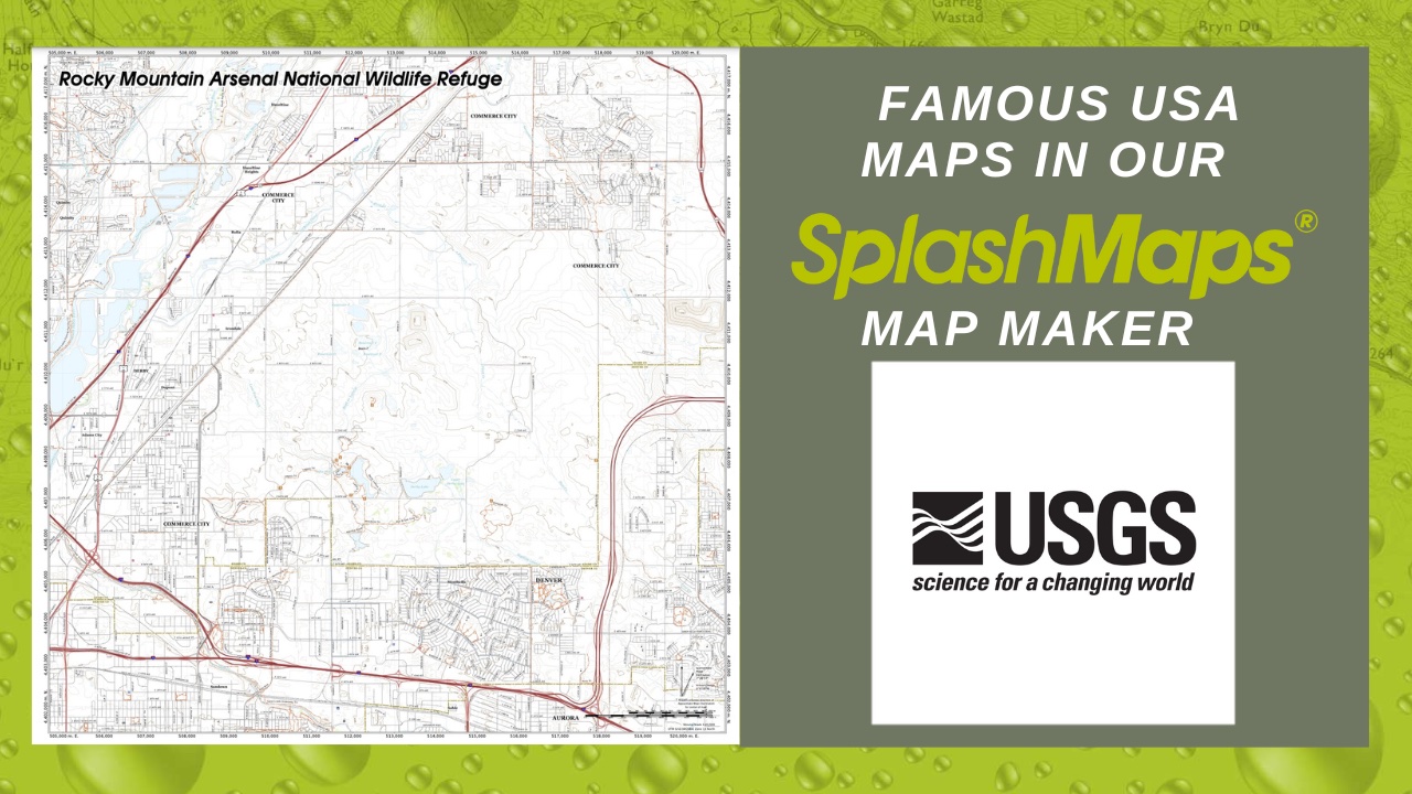
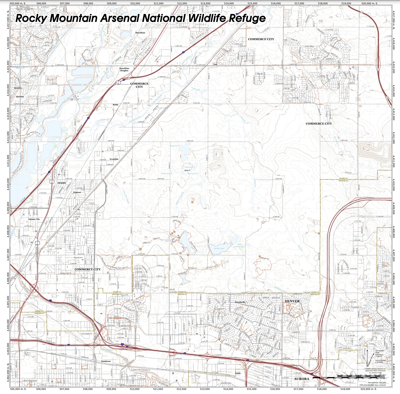
The USGS is the government agency responsible for mapping and studying America’s natural resources. They are the USA’s official National Mapping Agency. They provide a wealth of information and resources including topographic maps, geologic maps, and other tools for exploring America’s landscapes.
Countering the perils of paper folding and failing electronics gained SplashMaps loyal fans and customers in the military, emergency services and every kind of explorer the world over. Adopting National Mapping Agency content into our map-maker means adventure beckons for many more.
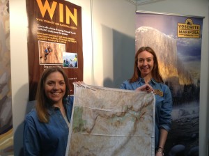
Right from the start, SplashMaps’ unique maps, fabrics and print have turned everyday excursions into memorable expeditions for thousands of adventurers.
Now, 10 years on, we’re headed in a bold new direction. It’s time to embrace the familiar and adopt more nationally trusted maps in our global custom map maker offering.
We’ve already started with Great Britain’s Ordnance Survey, last year adopting the cyclists favourite 1:50k scale in addition to the famous Explorer 1:25k we’ve been serving since 2014.
Now it’s the turn of the USA to experience hassle free maps as USGS’s 7.5 minute maps (equivalent to OS’s explorer) becoming available across our exciting map-maker formats (weatherproof maps to tablecloths).
SplashMaps continues it’s global coverage – promising adventure to anyone anywhere – both through its extensive range of country, regional and destination maps and a highly competitive customisation service for all scales of map.
Make unfailing adventure an ever more frequent experience in your life. Buy a SplashMap Now!
