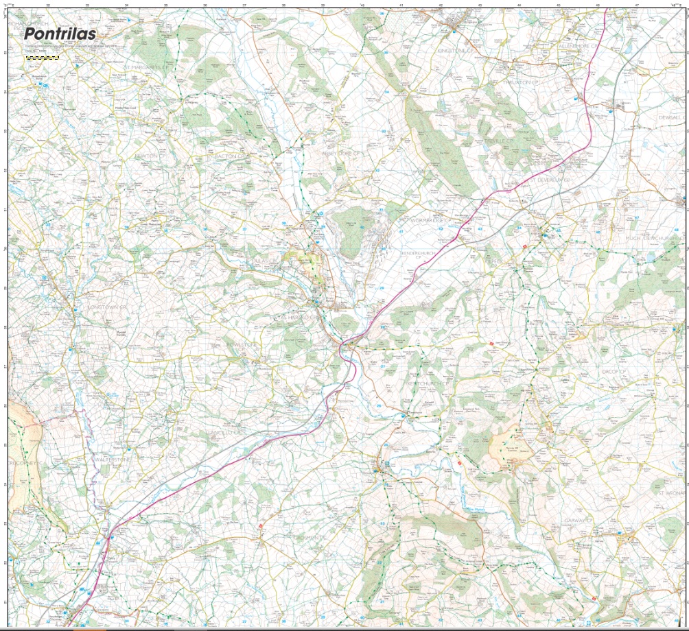

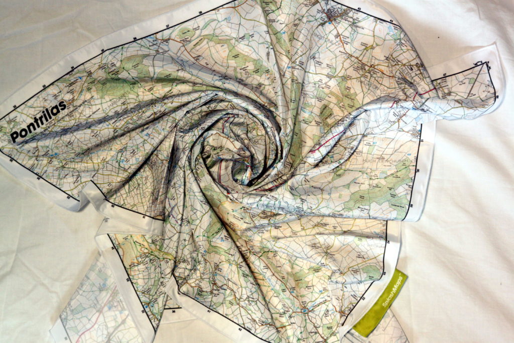
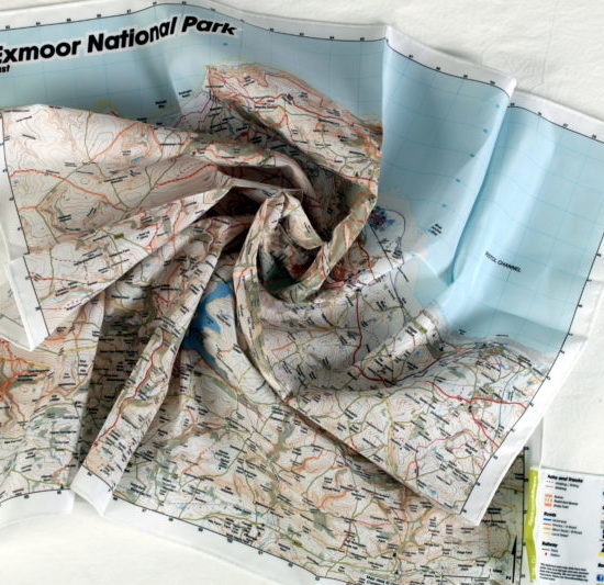
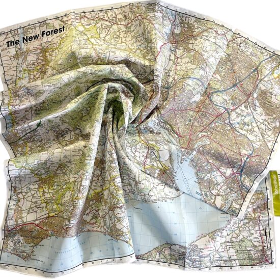
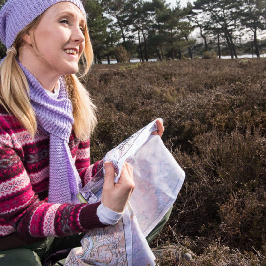
SplashMaps’ weatherproof fabric Pontrilas OS Map uses the Ordnance Survey’s own map image and covers 196 square kilometres of this military training area at a scale of 1:25 000. Essentially it’s an Ordnance Survey Map but, on our performance polyester, way more practical than any type of paper currently used by other map makers! This map is optimally positioned to cover the major military training grounds and surrounding trails for walkers and riders as well as military use. Additionally, the map uses all the tourism detail you’d expect from the Ordnance Survey.
KEY INFORMATION:
Major Settlements/ Features
Pontrilas, Newton, Bacton, Abbey Dore, Kilpeck, Kent Church,Craig Syfyrddin, Garway, Herefordshire Trail, Grosmont, LLanhvangel Crucorney, Offa’s Dyke Path, Dulas, Middle Maes-Coed, Michaelchurch Escley, Stone Street, Wormbridge, Howton, Three Castles Walk
Scale:
1:25,000
Dimensions on map:
13.8 km x 13.8km
Size of product (including borders):
72cm x 72cm (approximately)
SW corner 331 000, 219 000
NE corner 348 000, 236 000
| Dimensions | 73 × 73 cm |
|---|---|
| Map Scale | 1:25 000 |
Only logged in customers who have purchased this product may leave a review.


Reviews
There are no reviews yet.