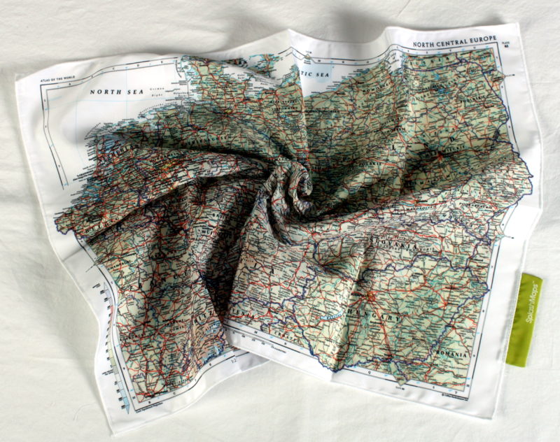
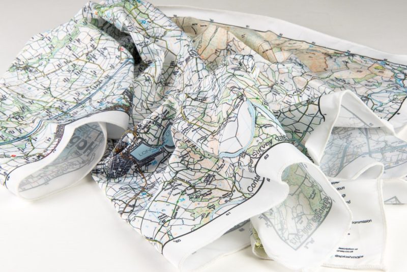

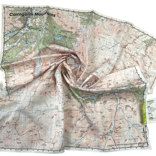
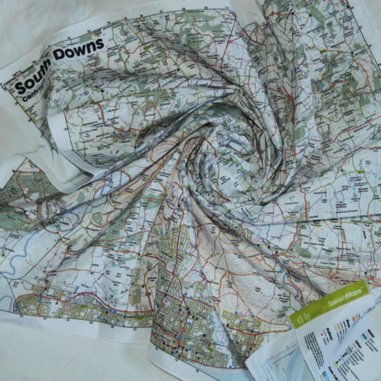
 The Collins Bartholomew – Central Europe Map covers all Germany and bordering countries and seas. Printed onto our Pro breathable, washable and very wearable fabric, it is designed to be usable in the harshest conditions and can be stuffed in a rucksack or overnight bag. You may even want to admire its beauty at home, wear it as a scarf or treat as part of your luggage as a knot-wrap.
This map is designed by legendary cartographers, Collins Bartholomew.
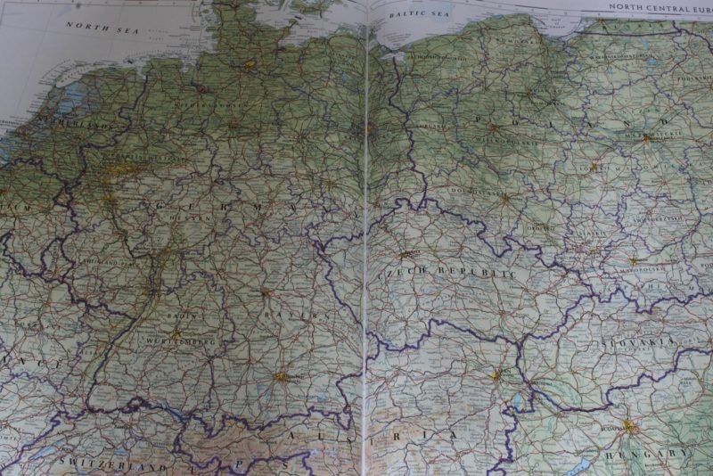
This is a physical map and comes straight from the Times Atlas Plate 61.
France. Germany, Switzerland, Italy, Luxembourg, Belgium, Netherlands, Austria, Czech Republic, Hungary, Slovakia, Romania, Poland, Russia, Lithuania, Alps, Bern, Brussels, Berlin, Prague, Warsaw, Bratislava, Budapest, Munich, Baltic Sea, North Sea, Denmark
Scale:
1:2 500 000
Size of product (including borders):
72 x 54cm
Save
Save
| Dimensions | 73 × 54 cm |
|---|---|
| Map Scale | 1:2 500 000 |
Only logged in customers who have purchased this product may leave a review.


Reviews
There are no reviews yet.