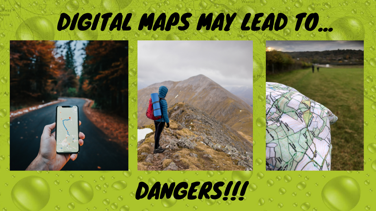
A digital map is a map that is displayed on a digital screen. This can be done through a tablet, laptop, or smartphone. Google maps may be the most ubiquitous of all digital maps at the moment – used by millions around the world every day. One of the dangers of using a digital map is that you may not be able to see all the routes and directions when you’re using it and a digital map may not properly take into account terrain and prevailing conditions in the outdoors.
The vast majority of services like Google maps are designed to be used in everyday situations – especially car journeys or quick walking directions to find the nearest coffee shop in town. Unfortunately because of the perceived convenience and the trust we often put in technology nowadays, many people are using these tools beyond the reasonable scope and potentially following directions off a cliff.
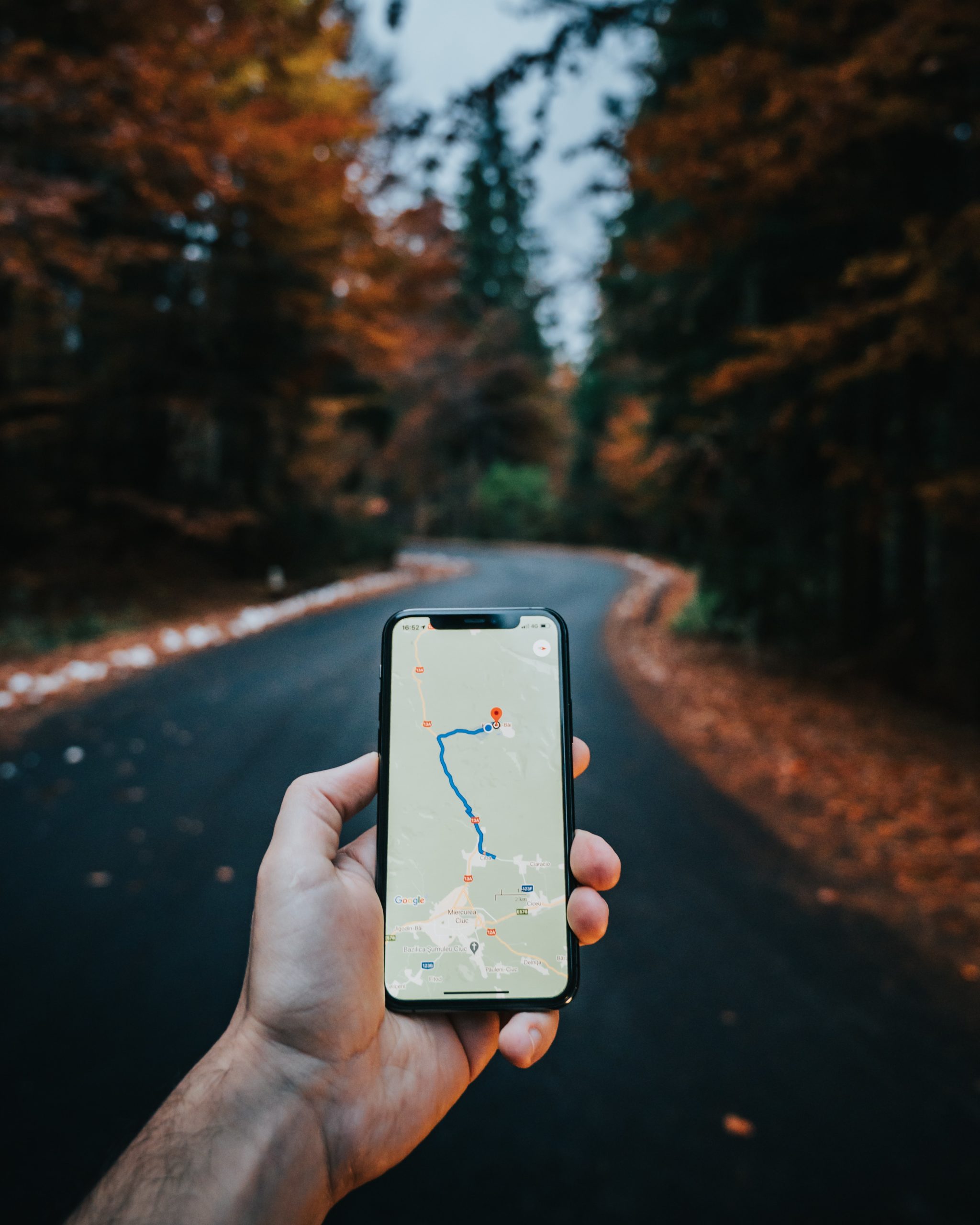
It is important to have researched ahead of time in order to ensure that you know about any possible dangers that might exist in a new area. Digital tools are almost always designed to take you the most direct route – and often this is the most challenging route. It is highly recommended to have a traditional – aka physical – map in case your digital map fails or doesn’t go into enough detail about where you may need to go.
You should also check multiple sources for route planning, check local reports for weather and any other dangers that might be present.
In the age of smartphones and GPS, it’s hard to understand how anyone could get lost. Yet people do. And sometimes they pay for it with their lives.
In fact, it’s estimated that more than half of all mobile phone users have gotten into some kind of trouble because they trusted a map app too much or ignored common sense when using one.
So what are these dangers? Here are three:
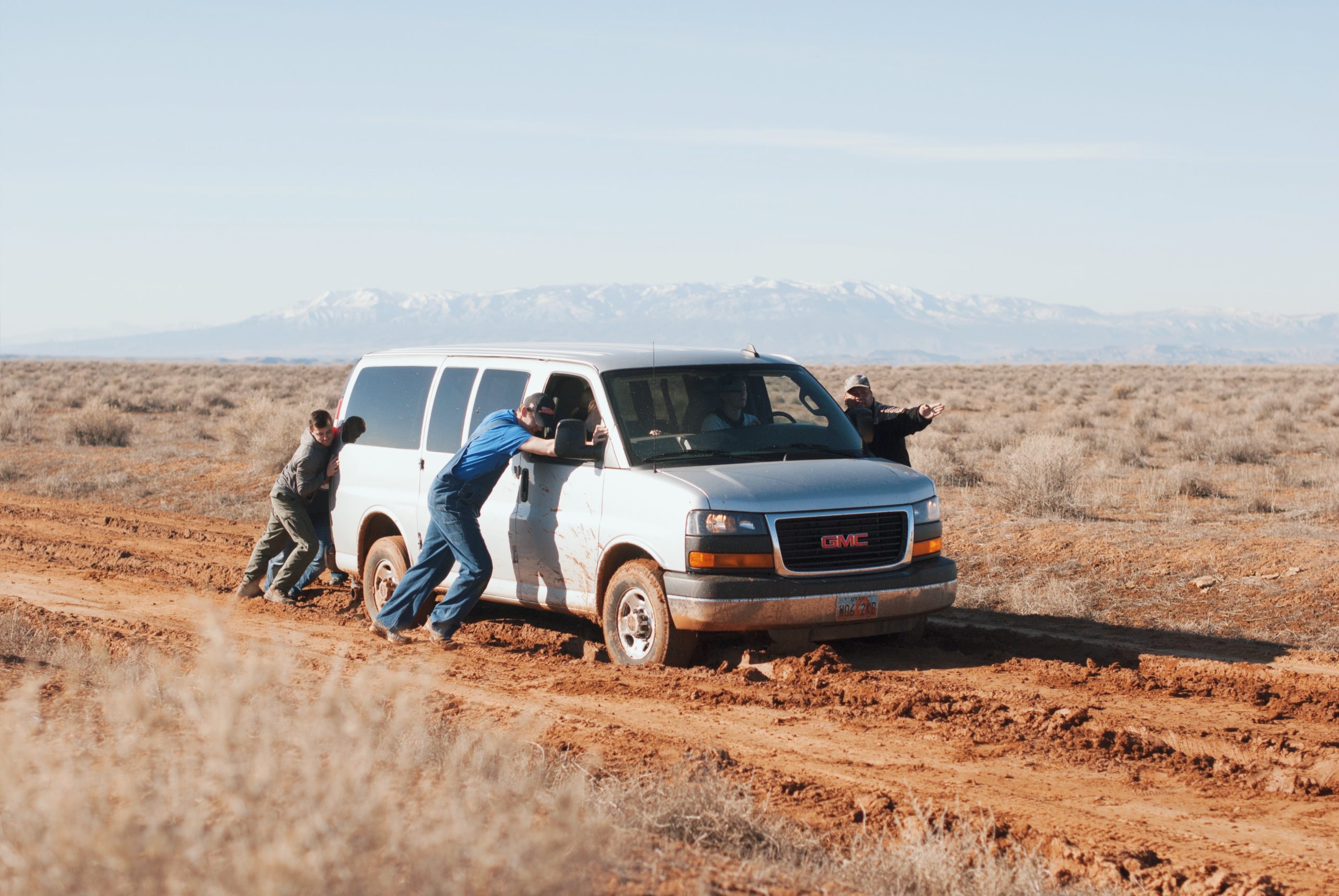
1) The first is getting stranded by following directions that don’t lead you where you want to go. Maybe you don’t realise you’ve taken a wrong turn until you get stuck; or your app can’t actually pinpoint the correct destination and you end up in the middle of nowhere. In both cases, the result is the same. You’ve used up the battery on your phone and you’re stuck in a place where you can’t charge it or call for help.
2) The second danger is relying too much on apps that don’t show you routes you need to stay away from like dead ends or routes only suitable for experienced climbers – or showing them but not warning you that they are impassable due to prevailing conditions.
3) The third danger is ignoring your common sense and following a map app along a route you can see is neither usable or accessible because the app says it’s the right way. In other words, people who use mapping apps rely too much on labels and not enough on what the paths actually look like.
All of this can be avoided by proper planning, preparing your route in advance with a physical map, and taking the conditions and your experience into account.
It’s important to note that while a phone’s GPS can be helpful, it is not always the most reliable tool.
GPS relies on satellites, the signals from which are subject to electromagnetic interference and temporary outages. Navigation apps also rely on points of interest which may not always be accurate or up-to-date.

In the great outdoors you cannot always rely on having a good GPS or mobile network signal, in poor conditions or in bright sunlight you may not be able to see your screen properly, and most importantly modern smartphones’ batteries simply can’t last all that long when using navigation apps for extended periods.
Navigation apps should only be used as an additional resource. Always carry a physical map with you and save your battery for making an emergency call if needed!
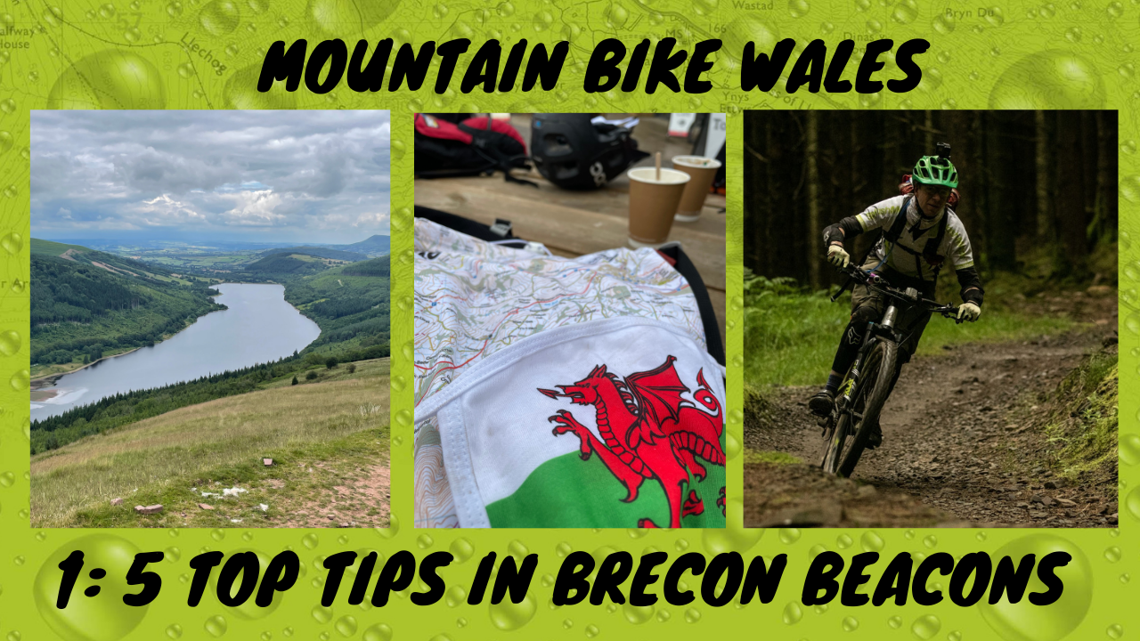
If you want to see any of the above in action, check out our latest film of the Brecon Beacons where following a Komoot trail led to trouble… navigating across fields of livestock where no bridleway existed.
When we rely on our phone’s GPS for navigation, it can be helpful but not always reliable. If you’re relying on your phone’s GPS and find yourself in a place where there is no signal or the battery dies, what will happen? Make sure to bring a physical map with you at all times!
Physical maps allow you to properly plan your adventure. Paper or fabric are good, but fabric has the edge over paper because it’s more durable, can get wet and dirty, and can be stuffed in your pocket instead of fighting to fold it in a gale.
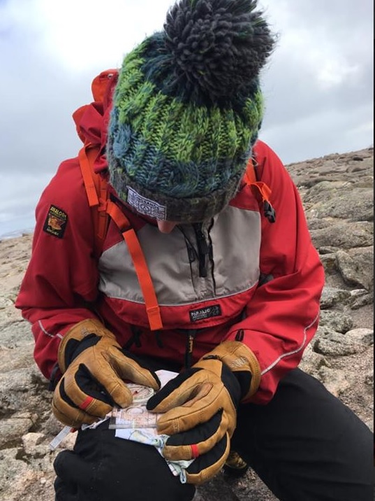
SplashMaps are strongly recommended by experts across the spectrum of adventure – see this article from Glenmore lodge about SplashMaps [link to ] and our reviews on YouTube from famous explorers.
