We’re sacrificing our new found social media prowess in order to climb mountains and help stroke victims.
This year my Dad suffered a stroke. It was a shock for us all, but initially not to him or my Mum. When it happened, they took the choice to wait until the morning to tell the Doctor.
Whilst social media and TV campaigns meant I and my brother and sister knew exactly what to do, we just weren’t around, it sounds like the message has not been effectively communicated to the high risk elderly group.
Time has passed and thankfully my Dad has very much recovered, but he’s very, very lucky (and probably more indestructible than most).
We’re a small team at SplashMaps, but we want to do our bit. The Stroke Association is working to raise awareness with people like my Dad. Crucially they’re getting across the message that FAST action boosts survival and recovery rates.
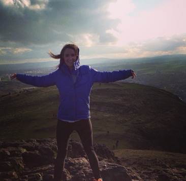
Joanna is our Social Media genius. But she isn’t just a dab-hand at managing our presence on Instagram and Facebook; she’s a Geographer and a Mountain climber (it’s a rigorous and hugely bias vetting process at SplashMaps!). We’re so impressed at what she’s doing for this worthy charity too that, beyond making a personalised map for her adventure, we’re making a lump sum donation and we’ll donate an extra pound for every map bought from our website until she returns 22nd October.
We’re big on mountains this season. Adventure Travel magazine tested SplashMaps this month at Everest’s base camp, Snowdonia National Park has commissioned our latest Snowdon Map and our award nominated stretch Neck warmer maps includes the Ben Nevis mountain map from Harvey maps; so when Joanna announced her plan to take on Africa’s tallest mountain, Kilimanjaro in October, we were doubly delighted to support her.
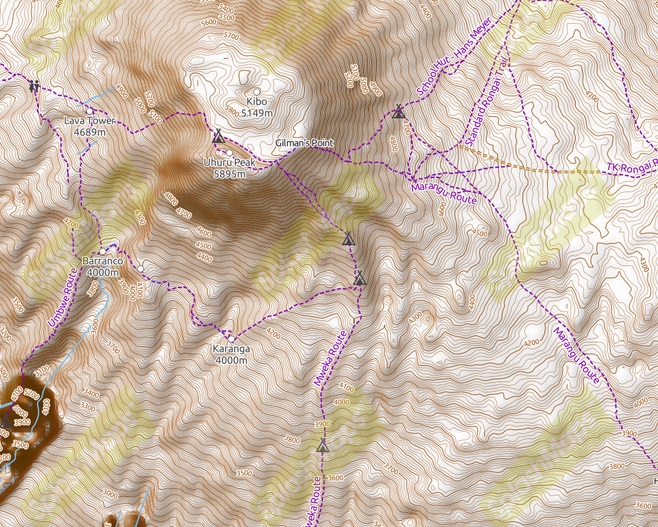
Kilimanjaro is 5,895m tall (its actually higher than Everest base camp). It’s the highest mountain in Africa, and highest free standing mountain in the world.
“I am going to be climbing the Machame route. Altitude will be one of the biggest challenges as well temperatures as low as -20 degree during the trek on summit night.” says Joanna.
“In preparation for the climb, I’ve been building my leg strength at the gym (every day is leg day!), weight training and I’ve become that person on the treadmill at incline 15, as well as going on long walks to wear the walking boots in.”
She’s raising money for the Stroke association after her own grandfather suffered a stroke last year which has left him part paralysed. We hope our amazing community of friends can join SplashMaps in wishing her luck and donating to her Just Giving site here.
Follow her story here, and please give generously to this highly worthy cause.
