This Tweenmas and New Year, I’ve set myself a simple but meaningful challenge: to complete the Camino Ingles before work starts again on 5th January. It’s a pilgrimage with deep roots and fresh relevance—perfect for anyone craving calm, clarity, and a break from buzzing machines and nagging devices.

The Camino Inglés is one of the ancient routes to Santiago de Compostela, traditionally walked by pilgrims arriving by sea from Northern Europe and continuing inland on foot. For centuries, pilgrimage has been about intention over speed: walking to reflect, reset, and reconnect. Today’s seekers—burnt out by screens and schedules—are rediscovering that same slow medicine through hiking, maps, and mindful movement.
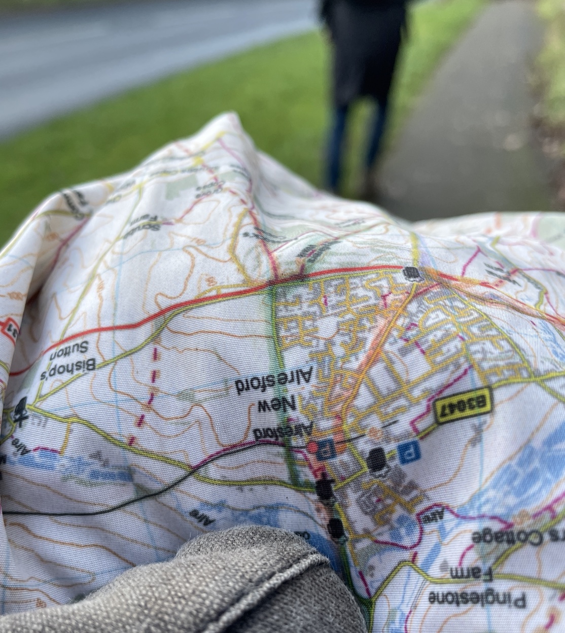
To support that balance, I’m using SplashMaps: planning the route clearly so the phone can stay mostly in the pocket—kept for emergencies and the occasional photo—while the walk stays present and human.
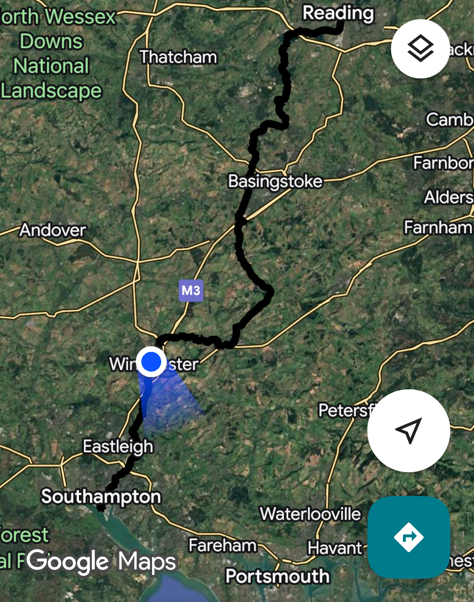
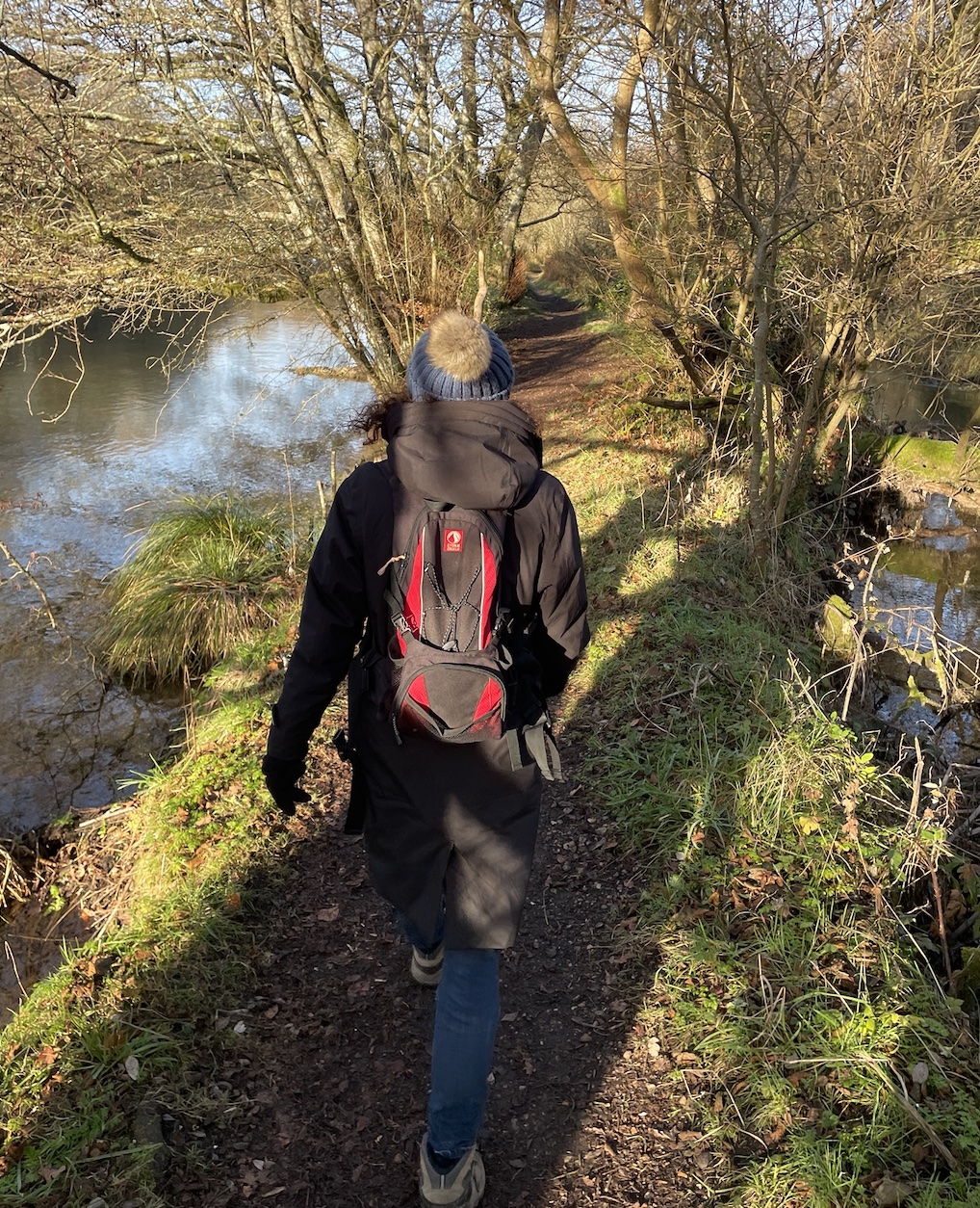
As a warm-up, my wife and I took on the most southerly extreme of the Camino Inglés—in reverse, from south to north—tracing our own story of settling in Hampshire. We walked from the historic walls of ancient Southampton, through urban, commercial and industrial stretches, until the trail softened as we found the River Itchen. Though we knew these paths well, we’d never joined them into a single 20-mile day hike.
The reward? Birdlife and beauty: black swans, kingfishers, and even a flock of parakeets in Bittern Park.
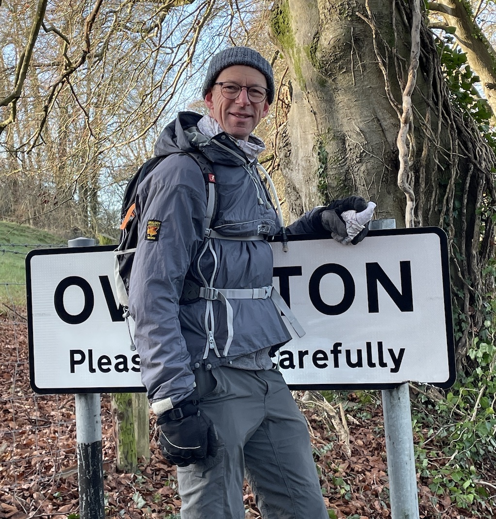
This time, following the Itchen from near its source and the fertile watercress farming district of Ovington (a near name-sake for me and Tiff) toward England’s ancient capital.
Comprehensive kit failure as my ancient walking boots failed to keep the marsh out of my socks (lovely at 3 degrees 🫣).
A Frozen and foggy day. Icicles in hair and very different terrain through spooky woodland, a lot more arable land and the river valley landscape replaced with slippy chalk hills.
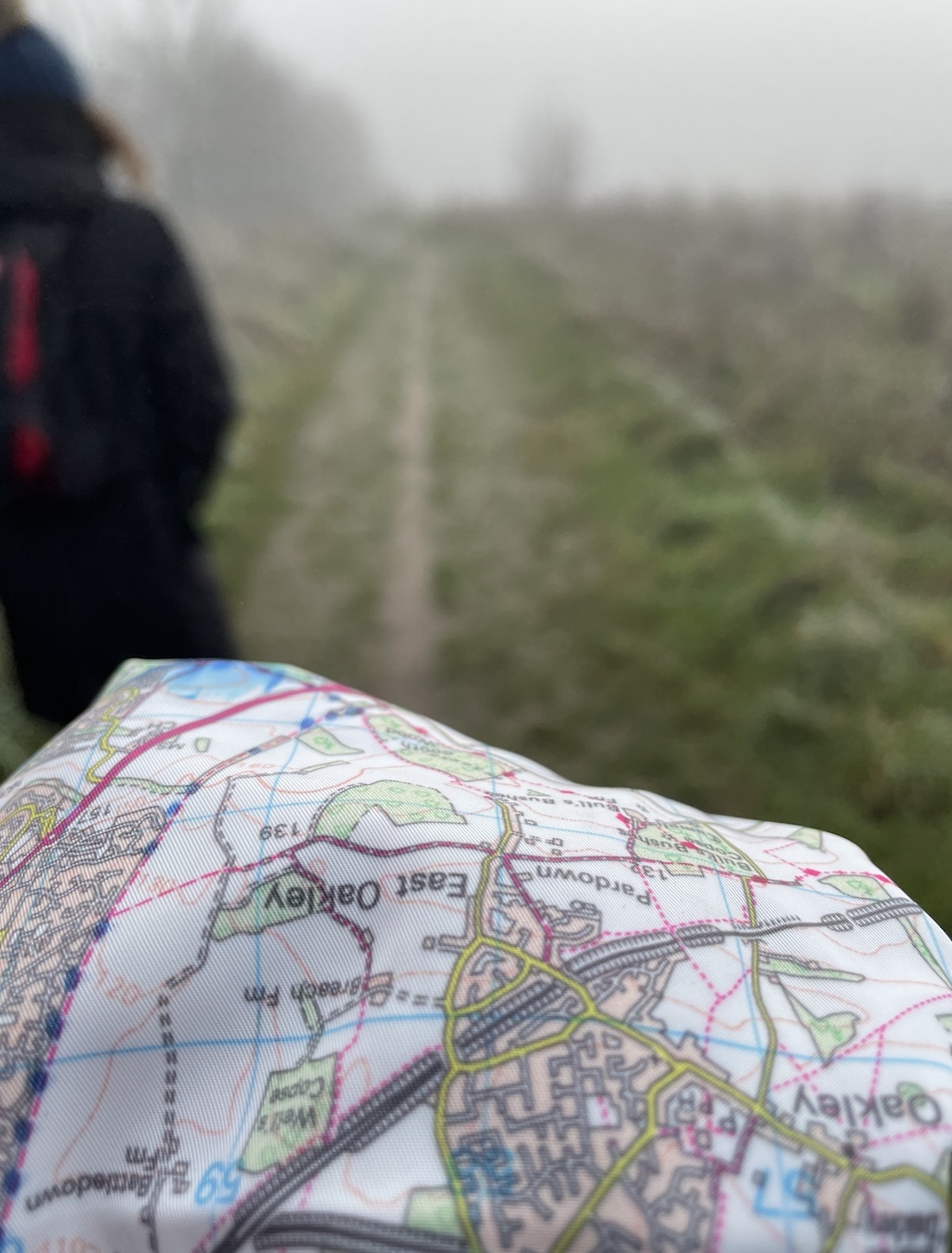
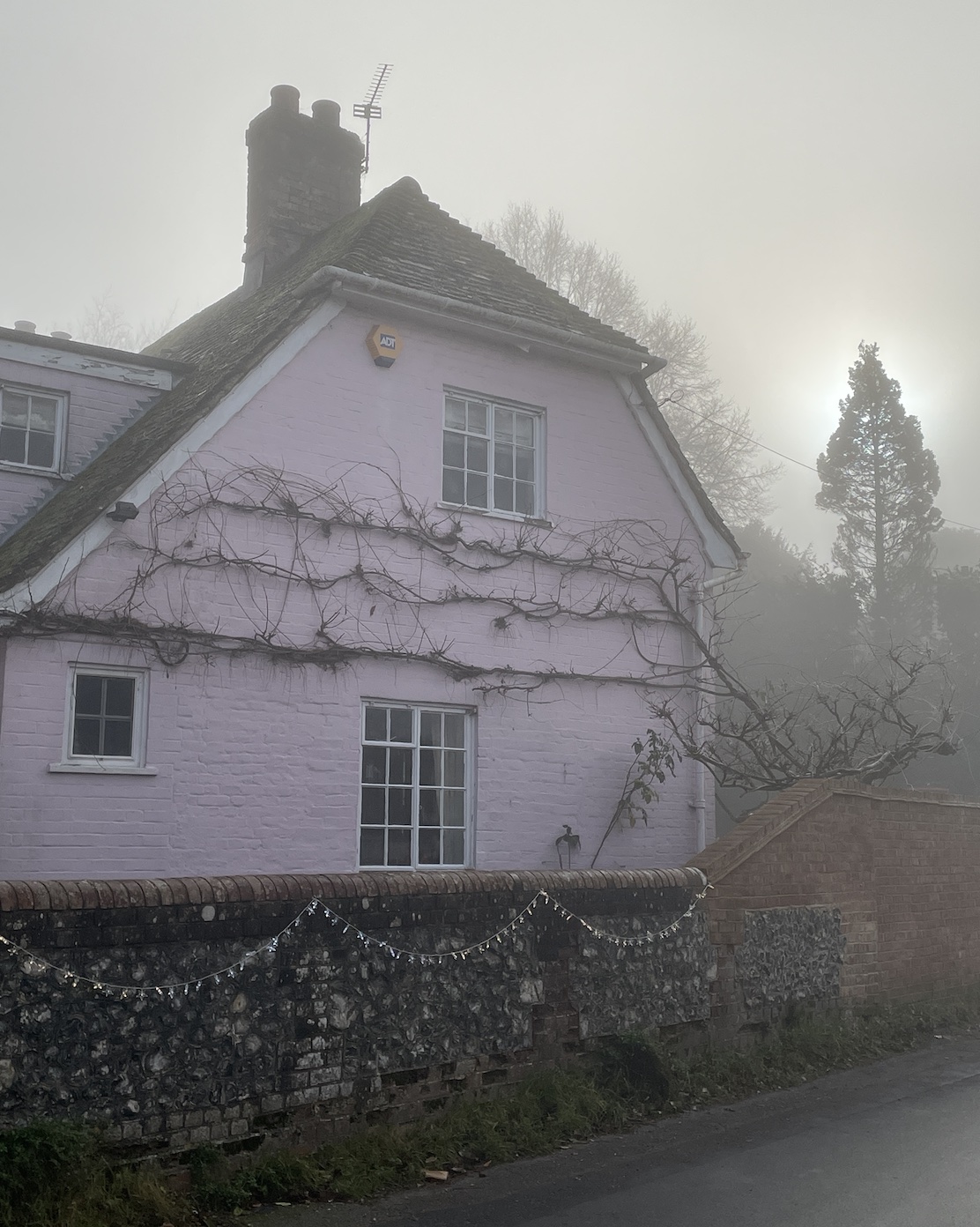
Probably not the most thrilling section and without views (thanks to persistent fog) a bit of a slog. Fine frosting on every twig, branch and blade lifted the otherwise spooky atmosphere.
Again running north to south in the direction of Santiago, but keeping it real within 14 miles during these days of short daylight.
Today was beautifully bright, and pretty cold, the trails treating us to ice and slime in equal measure.
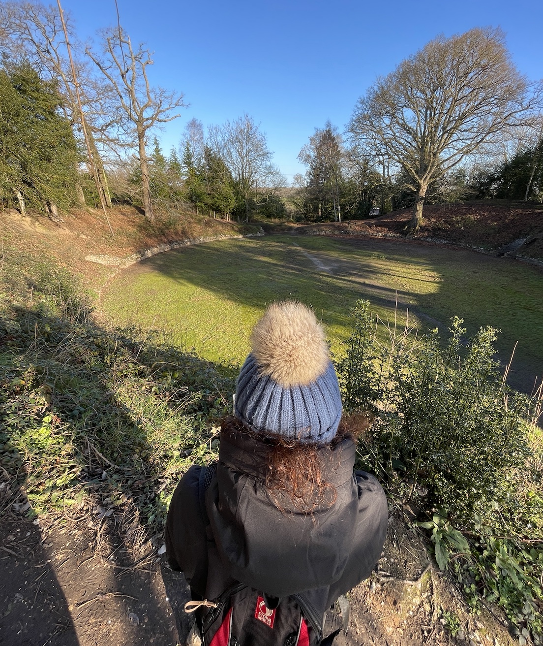
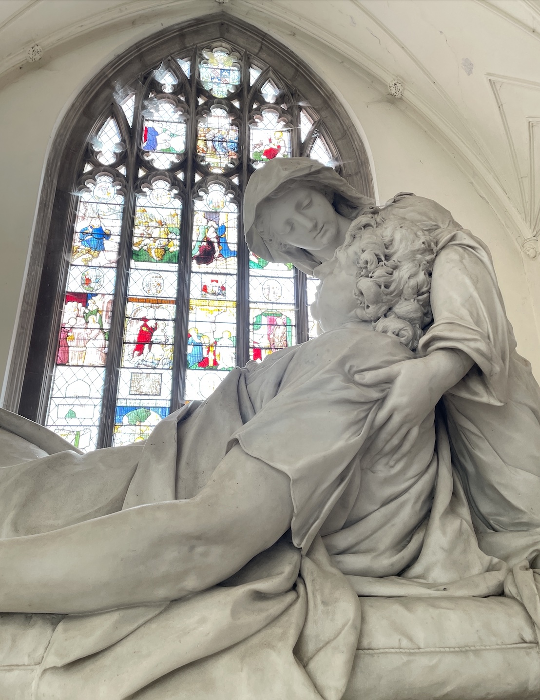
Visiting Roman ruins in Silchester and the trail’s most beautiful church at Bramley were my highlights for today.
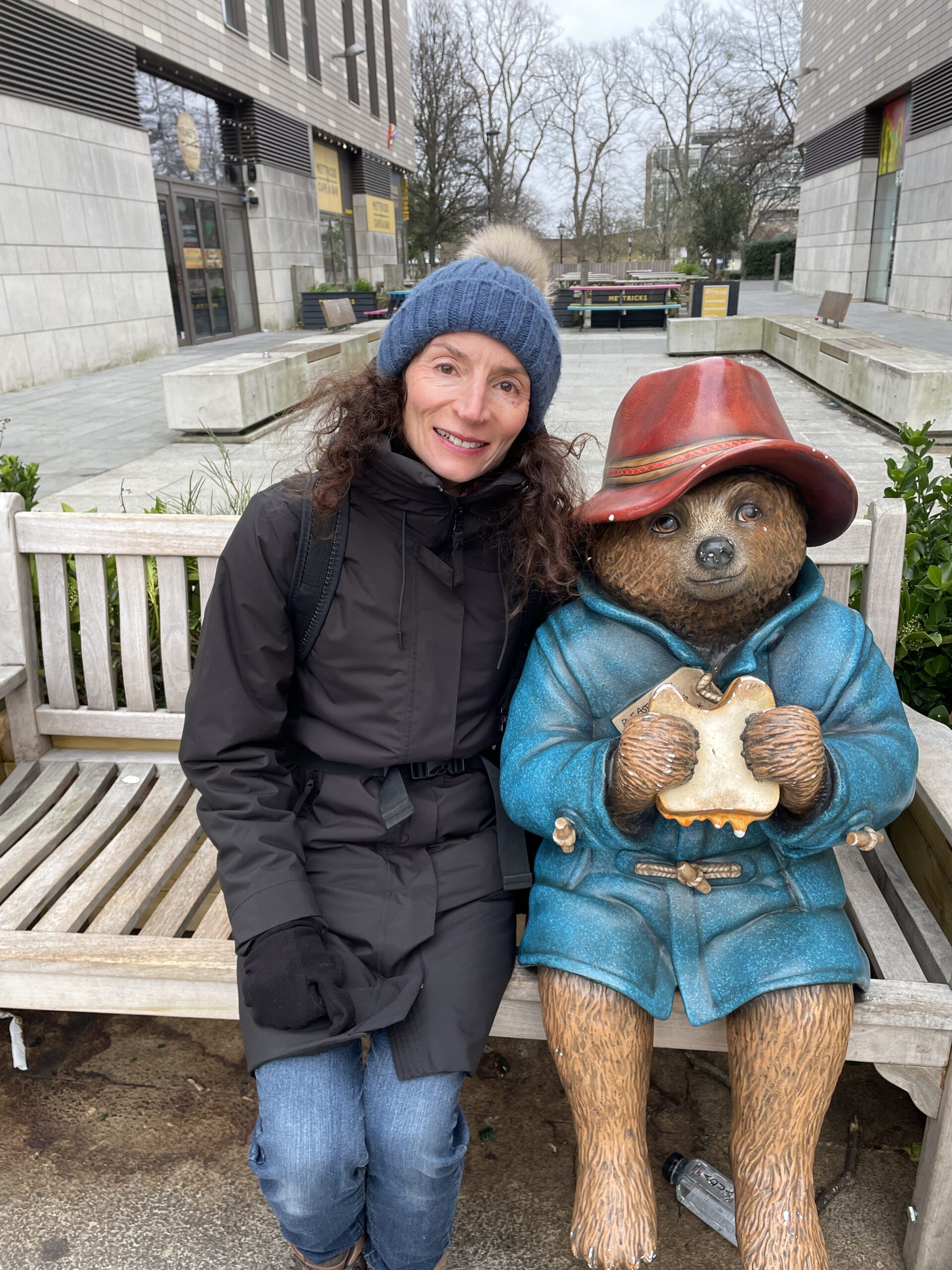
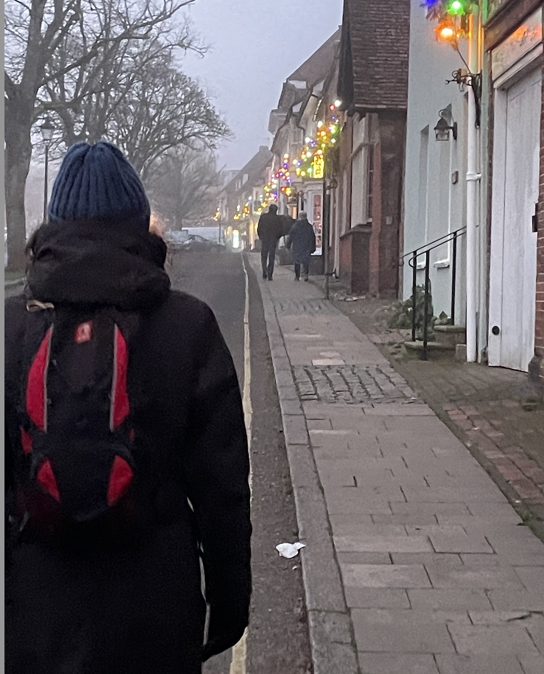
For our final stage we found it worth-while doing a 1 mile warm up stride along the Thames at Reading before heading to the Museum to buy and have stamped our official Camino passport.
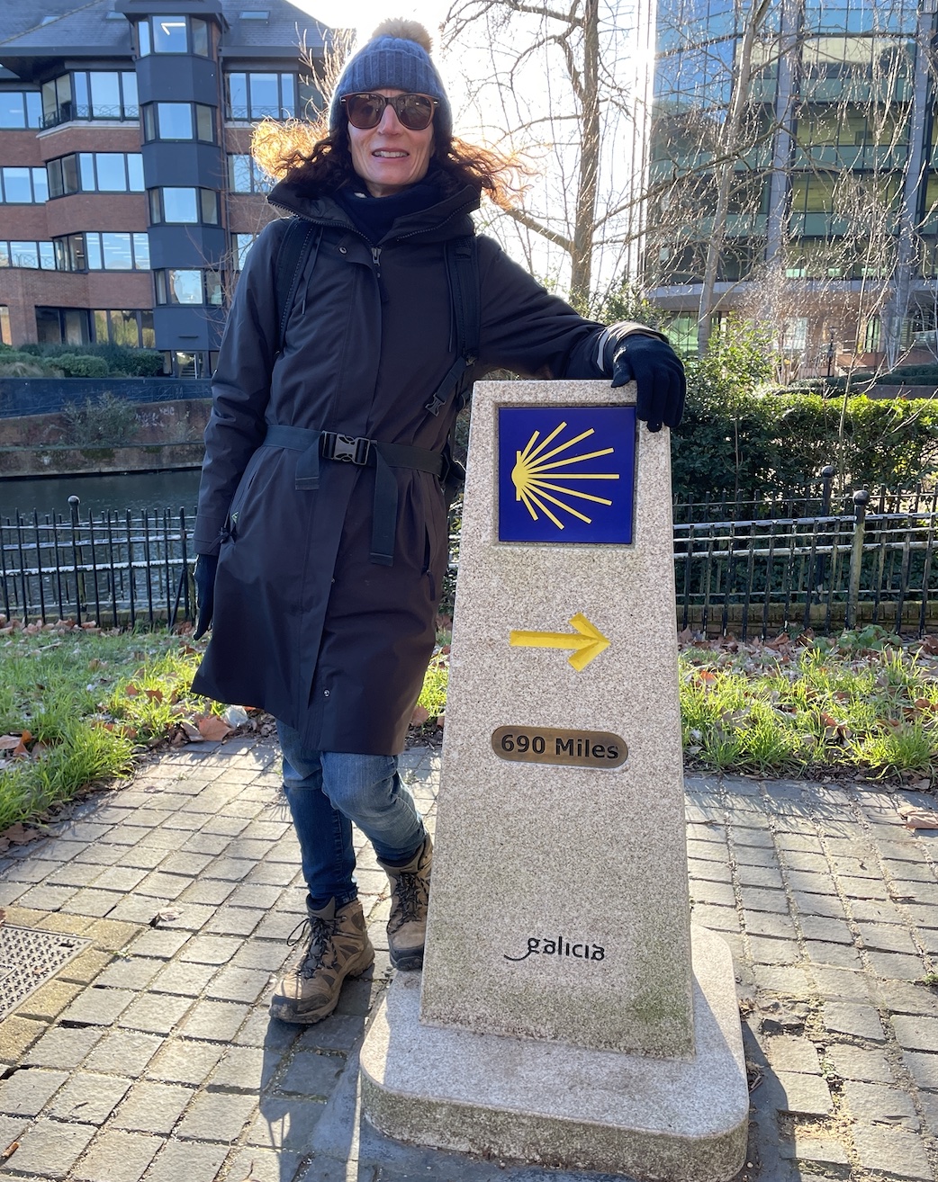
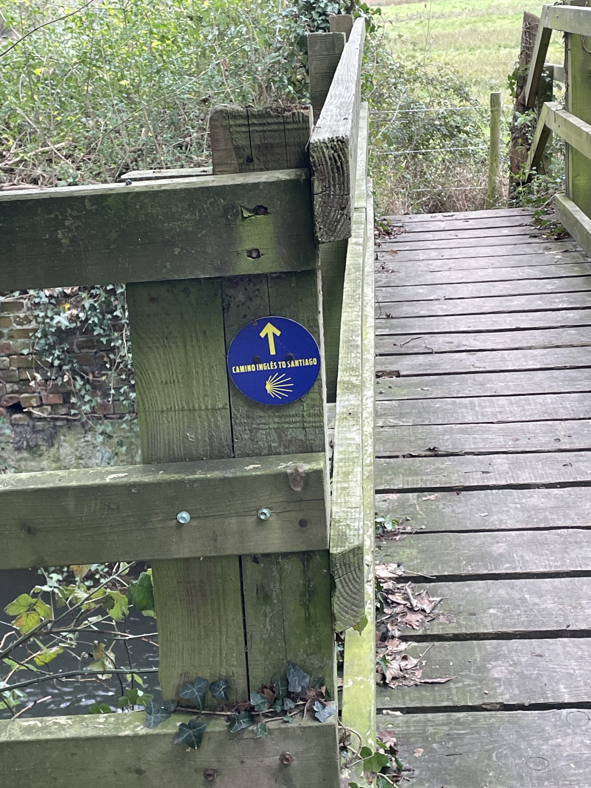
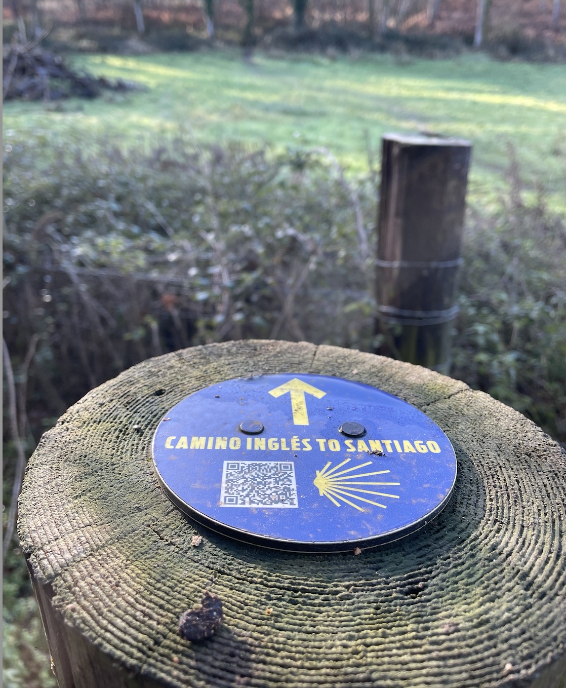
A pause for photos at the starting point obelisk (as scaled-down version of our beloved OS Trigg point monumnets) and we were off along the Kennet and Avon canal tow path.
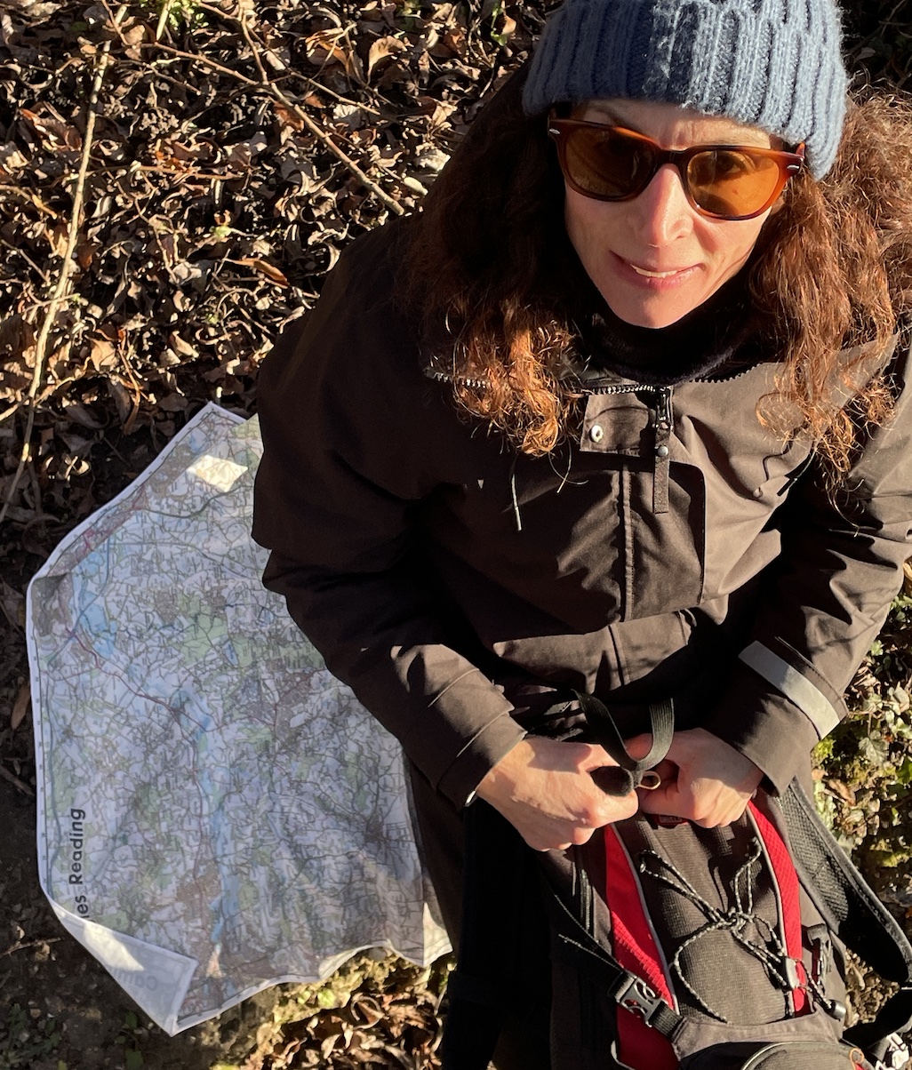
Signage through Reading is confusing, but once on the canal the trail falls into place with the marked trail only departing from the officially provided GPX (as transposed onto our personalised 50k Ordnance Survey SplashMap) as you reach the town of Mortimer.

A bright and cold day to end on. Zero degrees all day, the celebratory final slugs of Sloe gin tasted all the better as we warmed and toasted ourselves and the achievement of completing 77 miles over 5 days.
Bien Camino!
If you’re tempted, start your trail between Christmas and New Year. Keep it local. Then expand. Follow our progress on this blog and Strave as we head further north to complete the 70-mile ancient pilgrimage—one mindful step at a time.
