What a week for SplashMaps! At last week’s Daily Telegraph Outdoors Show big things happened at our small stand. Events like these help us realise we’re part of a great and passionate community in maps and the great outdoors.
Typically the attendees at the show identified with the pain of being served short by map makers to date.
The big wins of taking part in the show? More investment and more innovation were the key themes for us. Of course our map sales comfortably paid for the stand and all other costs associated with the show. We were demonstrating how you can make your own maps with Make-a-Map and selling our own cartographed REAL outdoor spec maps. But we also shared some of our latest prototypes with some key people and made plans for the forthcoming events in a packed 4 days at the show.
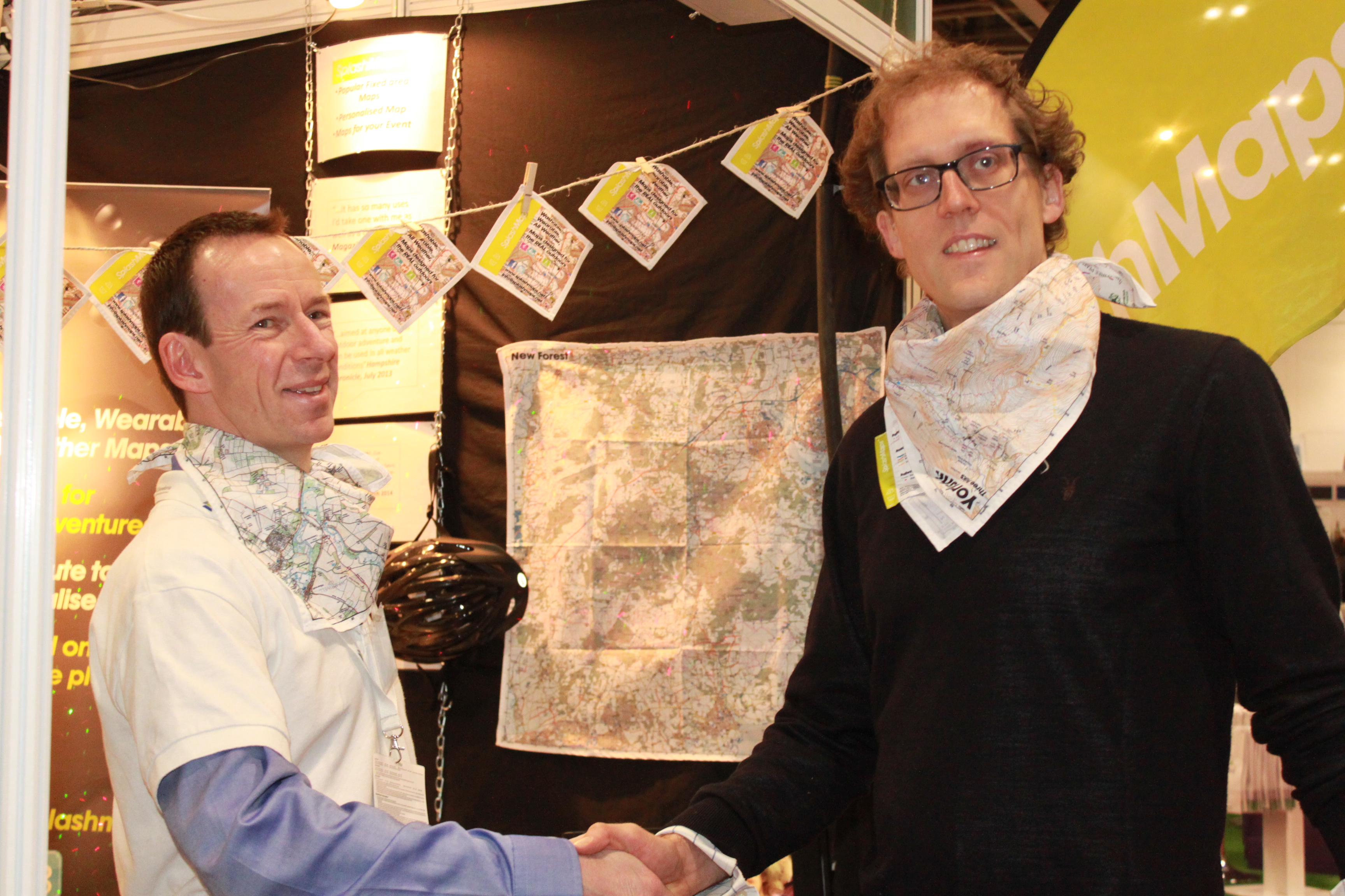
On day 1 we shook-hands on a deal that will seriously put SplashMaps into long trousers and paves the way for International success and a robust business model to grow our events portfolio. By signing 10% of our business to Lokku we now have serious money to invest in marketing and the movement to an OpenStreetMap mapping base. It’s great to be in business with Lokku. Ed Freyfogle, co-founder of the company, joined us on the stand and managed to hurl maps at anything that moved (a now familiar SplashMaps sales tactic that we would not recommend to those selling laminates!).
As well as making money for the immediate future it was a great chance to test out our prototypes, securing our “jam-tomorrow”. We had 3 brand new map concepts to bring into the open.
1) Our Yosemite Map is a classy map in our new mountain spec as developed by OSM cartographer, Andy Allan. Andy joined us on Friday when we presented the map to an effusive Yosemite Tourism Bureau at the show. It was a hit and doubly impressive to the Bear Grylls team who are starting a new Survival Academy in the region.
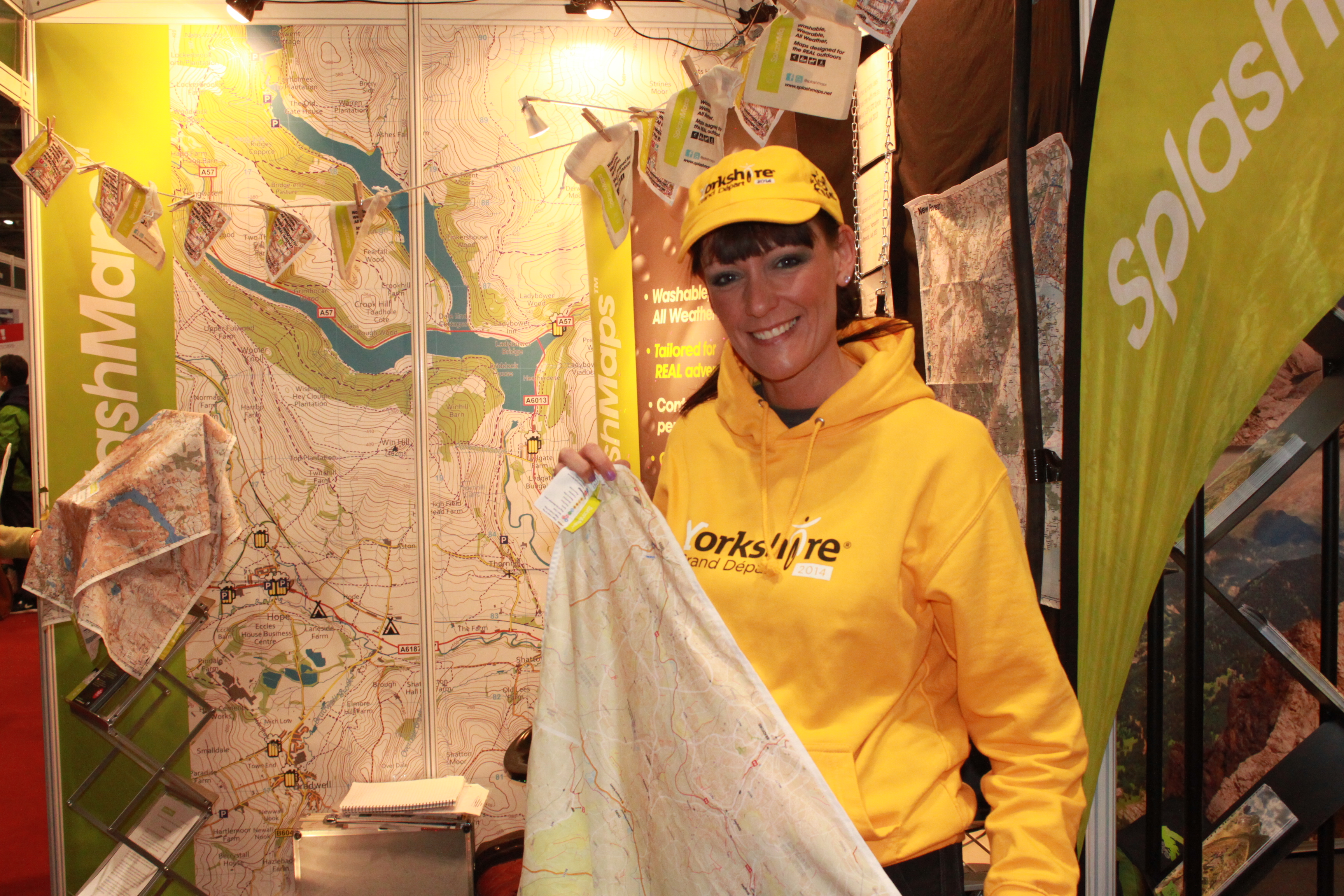
2) Our Grand Depart Map. Together with Steer Davies Gleave we have developed a map aimed at providing a memento of this 1 in 8 year event… the Tour de France coming to Great Britain. The map provides all off and on-road cycle routes that can be used to get you to the best spectator positions as well as the amazing route itself. As well as the views from all the other brands and magazines there it was great to get views from Nicky Busby (one of the “faces” of Ordnance Survey and heavily involved in the planning for the Grand Depart in her native Yorkshire).
3) We also prototyped a new Mountain climbers map of Ben Nevis. The increased detail on this map was proposed by our Mountain Leader, Malcolm Streeton. It was picked up by Belinda Fear, Development Officer at the Mountain Training Association who will find a bunch of members to test it in anger on our highest mountain.
This week is all about following-up on all those great leads. There’s no doubt we’ve made a splash with enquiries coming in from numerous events, the military and holiday companies. And our news is already making it into the press with a great piece in gigaom.
