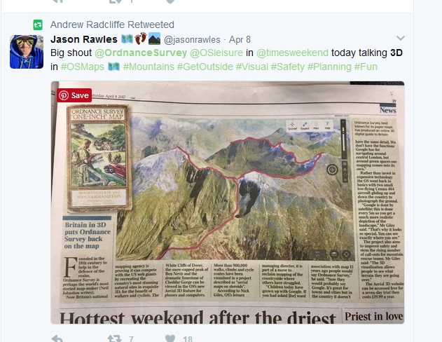
There’s been a great deal of hype about Ordnance Survey’s recent 3D fly-through.
Automatically generated from your choice of place (restricted to Great Britain of course) and, with the right device and software, you can generate a 3D image of your walk or ride!
But, just this week I received my personalised Ordnance Survey SplashMap of the 3 Peaks in Yorkshire. I’d set this up just a few days ago. When it arrived I realised I didn’t need an app on my phone, didn’t need a computer, didn’t need to input any walking detail! My 3D fly through took 5 seconds to put together.
Check our low-budget, hyper real, scrunch-up and put-it-in-your-pocket style SplashMap fly-through for yourself. Then set-up your own one for anywhere on the planet!
Job done! Simply whiz your phone camera over the scene and we’d be delighted to share the results with all our followers! @splashmaps or #splashmaps on your favourite social media.
Simples!
