Are you an adventure seeker looking to take your outdoor exploration to the next level? ‘Look no further than custom OS maps from SplashMaps’ we explained to Roger Chandler of the Outdoor Activity Directory. So he made one and here’s his review after a trek in the Brecon Beacons National Park.
‘After my test walk in the Brecon Beacons, I can confirm that Splashmaps is onto something and that you should investigate further if you hike or paddle. I will now use them as my main map on all my hikes. Here’s how my test day went.’
‘Yes. You can stuff the SplashMap into the pocket of your waterproof jacket, buoyance aid or trousers. It is the size of a large handkerchief when scrunched up.’
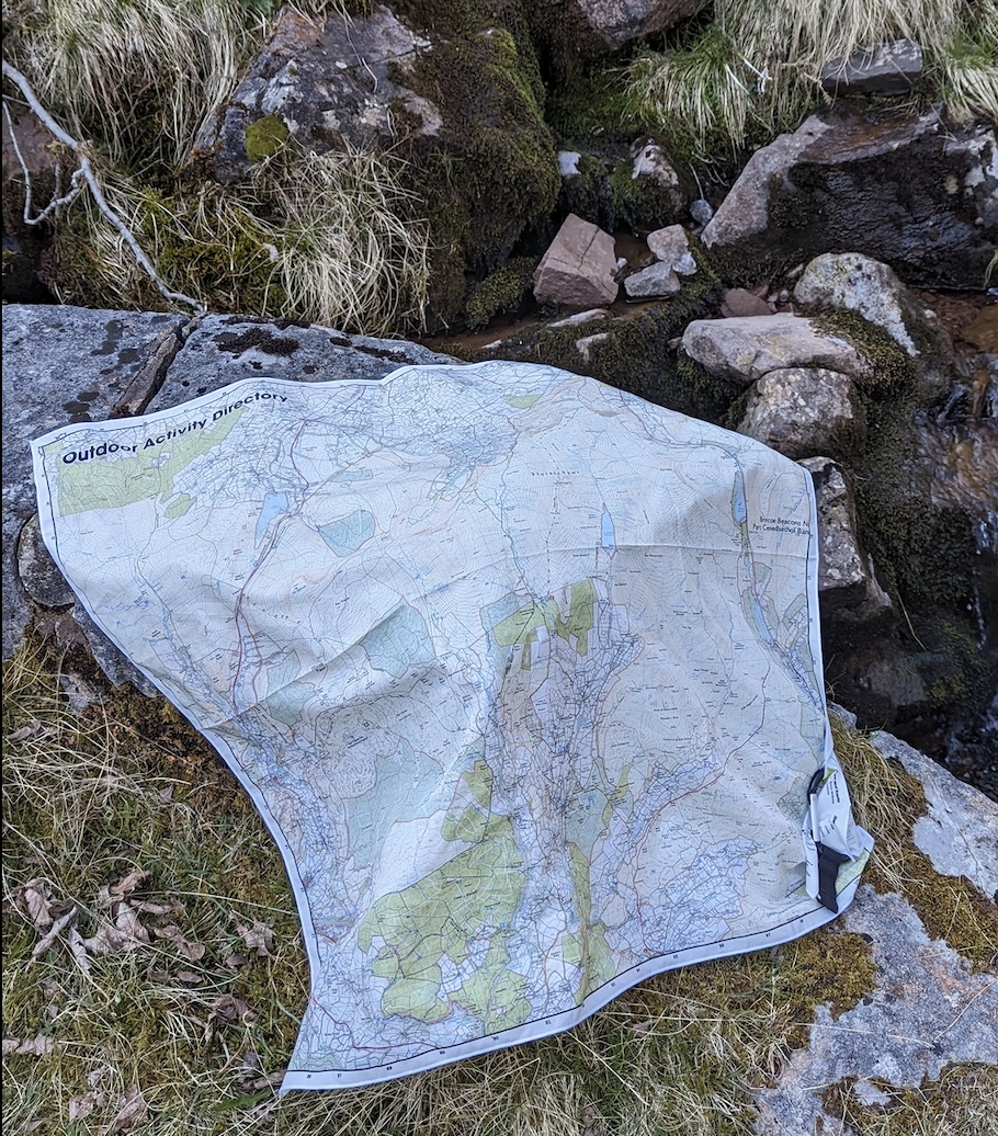
‘Yes. As you can see from the pictures, it was a beautiful cloud-free day, so I found a mountain stream and gave it a good wash—something I certainly would not do with a map in a map case or my phone. after 20 minutes attached to the back of my rucksack, it was dry again.’
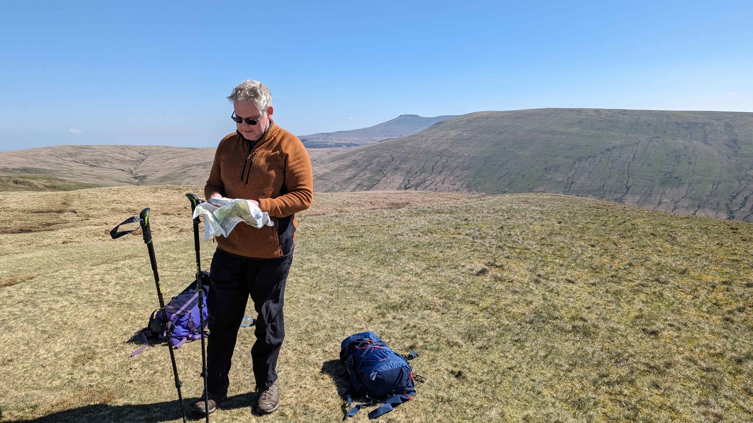
‘It performed well, but you need to make sure the textile is tight when you take the bearing.’ ‘…using your leg as a rest can solve this problem on a windy day.’
‘I don’t think so. I swirled it around my head to dry it off after my stream test and treated it roughly during the day. It still looked as good as new at the end of the day.’
‘…I go walking for a digital detox and taking my phone out and looking at it at every path junction does not help me detox, especially as it loves to tell me about new emails and messages. The OS Maps App also only shows you a small section of your walk at a time, so it covers the navigation well but still misses the benefits of looking at a large area on a map.’
‘The big winner for me was the reaction of the people I was with. SplashMap is different, so my walking companions were keen to look at it and learn more about the map and the area they were walking – an absolute pleasure. I have never had that reaction using OS maps on my phone or a map in a map case!’
‘I now use it as my main map.’ says Roger.
Roger is a mega outdoors enthusiast. His business The Outdoor Activity Director is an on-line service with two simple aims:-
1) To help you discover new and exciting activities that you would like to try or to help you find ways to do more of what you already love. 2) To help Freelance Outdoor Instructors and Outdoor Activity Companies find each other and provide activities in a cost-effective way. |
As a resource it is the key to your next outdoor adventure and essential to the burgeoning outdoor economy.
Read Rogers Full review here.
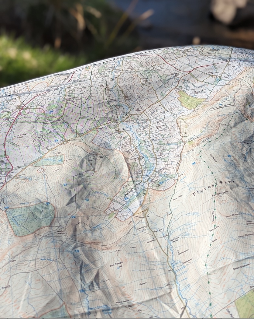
These fabric maps, available on our map maker, created by the experts at Ordnance Survey, are tailored to your specific needs and interests, whether you’re an avid hiker, a cyclist, or a nature lover. With features like detailed terrain data, elevation profiles, and points of interest, SplashMaps’ custom OS maps provide the ultimate outdoor experience. Not only do they help you navigate your way through challenging landscapes, but they also give you the freedom to explore off the beaten path. So why settle for generic maps? Take your outdoor exploration to the next level with a custom OS maps from SplashMaps.
