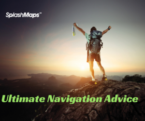
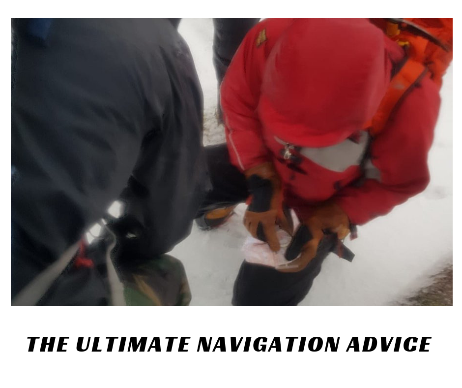
Could reliable navigation dramatically improve your outdoors fun? Current freezing conditions mean you’d be daft to head for the trails underprepared. So, for the ultimate all-season navigation advice, here’s 5 top adventurers’ tips for confident way-finding; wherever you go, whatever the weather.

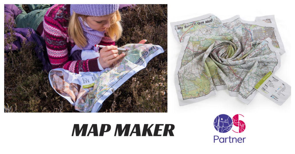
Nigel Williams, once head of training at Glenmore Lodge, bemoans traditional military inspired navigation training. He shares his antidote to getting lost. “The best navigators fold their maps to a small area in order to hold it with a compass in one hand,” he explains. The compass is used simply for pointing the map in the direction you’re headed – “map setting” as Nigel would say. “They then just read the ground and map detail as they go, folding out more information as needed.” This need for more versatile navigation, i.e. allowing on-the palm adjustment, requires a rethink in how the maps are designed. Using a non-stretch professional map fabric there’s no distortion to unsettle your bearings nor the re-folding you endure with more rigid maps.
Will Close-Ash, International Mountain Leader and Mountain Rescuer describes what happens when using his chosen mountain maps in white-out conditions. “You haven’t got all the hassle of opening it up, finding the fold, and coping with the wind” he explains. His choice simply, “…stuffs into your pocket!”
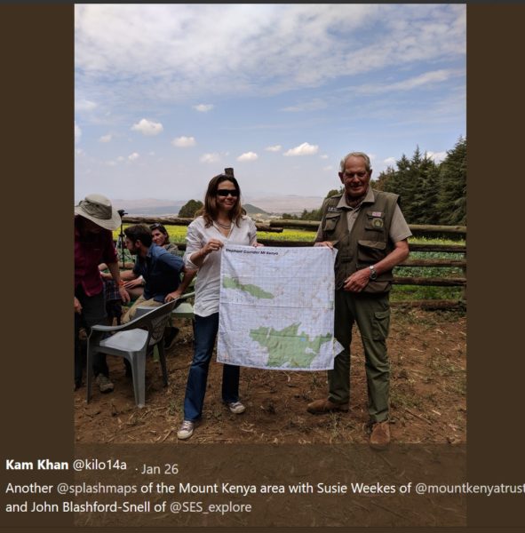
John Blashford-Snell, founder of Raleigh International and President of Scientific Exploration Society, finds there’s only one map maker that offers ANY location his team could visit. For over 3 years he’s relied upon a simple on-line map creator service to give him expedition-proof maps. A post card from his latest adventure reads “…The SplashMaps… for our Kenya Expedition were the only good maps we had and were invaluable.”

Paul Rose is famed for mountaineering and expedition leading, but most recently he’s hosted a number of BBC TV series near his home in the Lake District. When in Great Britain he values the clarity and detail of the familiar Ordnance Survey Explorer 1:25k map. He uses his personalised fabric Lake District map for “…mountain biking through the forests near Windermere”.

Some of the harshest conditions on the planet are in the Antarctic. There, in the most southerly retail store on the planet, they sell British Antarctic Survey maps printed onto Toob style neck warmers. “They sold-out in 3 weeks!” explained the head of buying at the Antarctic Heritage Trust. The team are now ordering 5 times as many for intrepid holiday makers for the 2019 season.
SplashMaps’ range of fabric destination and personalised maps are proven by experts in the most extreme conditions. But, unlike paper and electronics, they’ll fit around you! For versatile, robust navigation world-wide – and using familiar Ordnance Survey mapping for the whole GB – isn’t it time to tailor one for your 2019 adventures, holidays and hobbies?

Thanks to TGO you can claim a 15% discount to the end of February! If they’re good enough for these guys, they’ll certainly work for you!
Find a unique and practical fabric map for any adventurer at www.splash-maps.com/tgo
