When using a mountain rescue map in an emergency situation, it’s important to stay calm and focused. Cool headed Mountain Rescue volunteers like Will Close-Ash take time to carefully study the map with their team, identify your location, as well as any nearby landmarks or trails and plan the safest and most direct route to you, taking into account any obstacles or hazards along the way.
Will has used SplashMaps for 5 years and tells us why there’s no going back to paper maps!
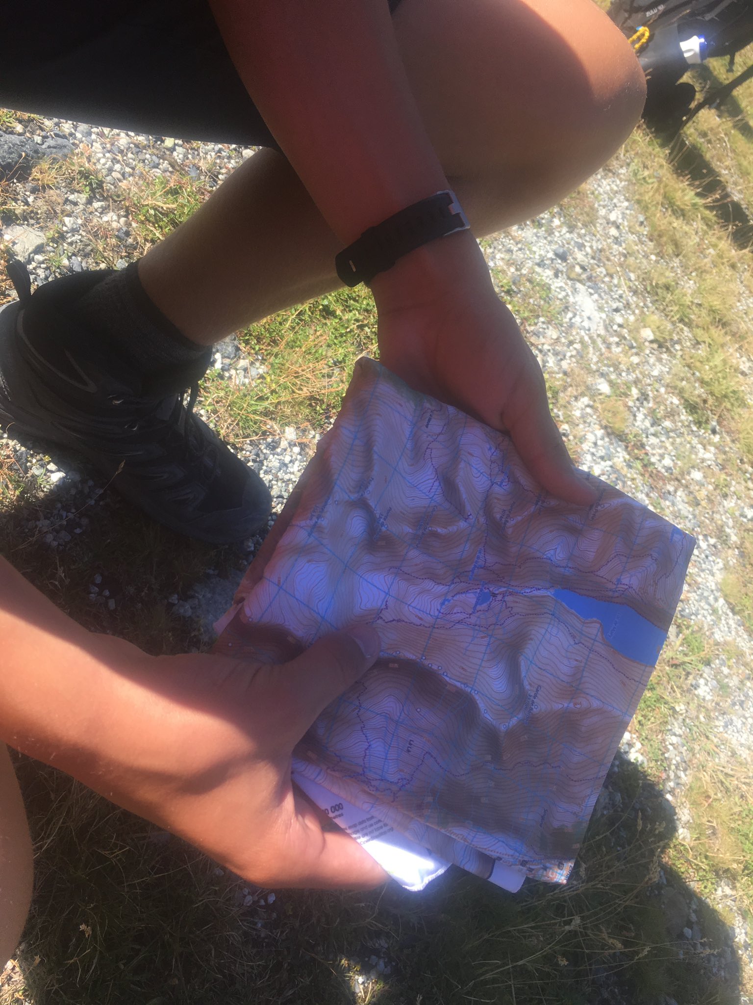
So, I’ve been using my Splashmaps exclusively on UK and Overseas expeditions as well as when out on Mountain Rescue call-outs since 2018. Things I really like about them how the easily they can be folded or scrunched up and stuffed into a pocket; if I’m moving quickly the bit of the map I need fits in the palm of my hand and can be kept there for quick access.
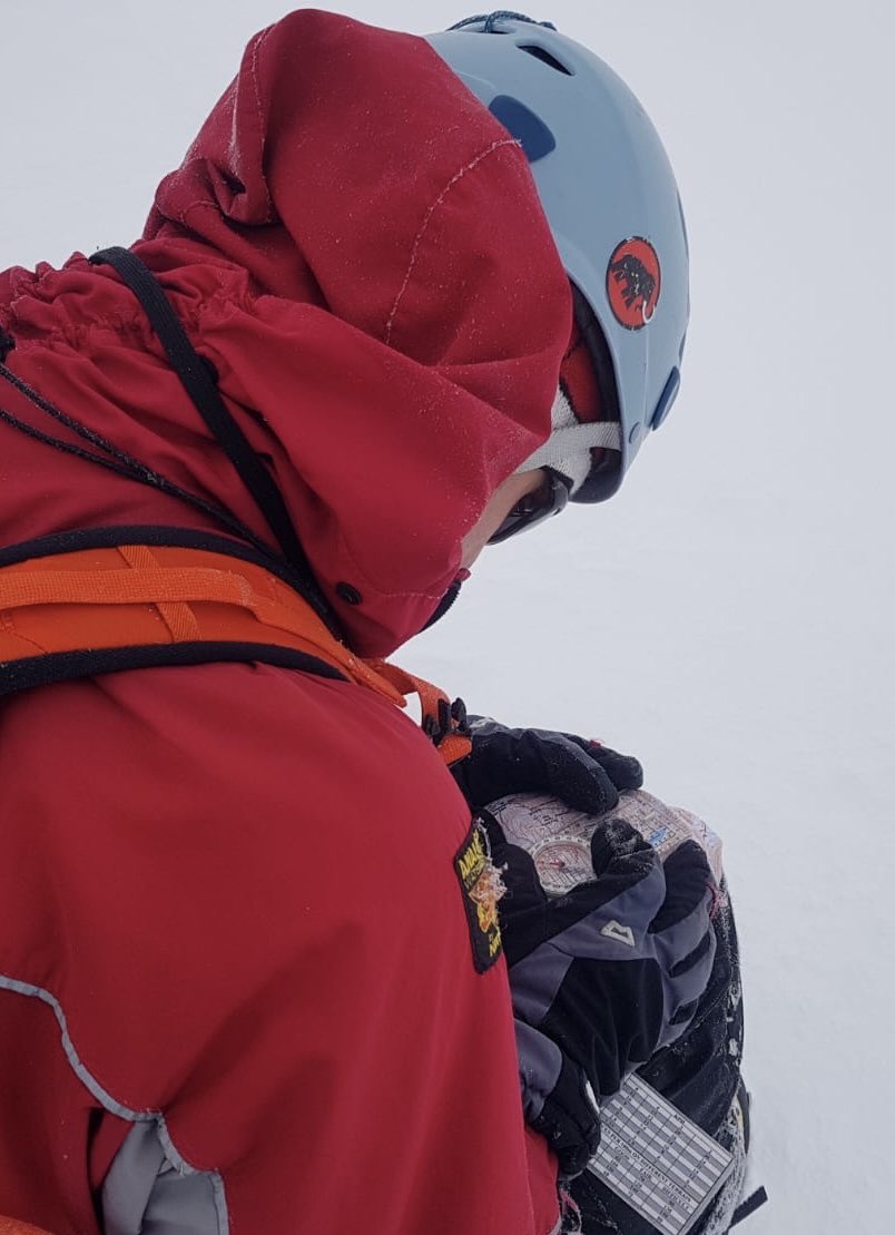
In terms of taking a bearing, I always create a platform for my map, usually my thigh and set my compass on that. It’s quick and easy but to be honest, most of my navigation is about relating the features on the ground to the map and my splash map allows me to do that quickly.

I’m not going to lie, I’ve also used it the odd time to wipe snow goggles and even my nose. It just goes in the wash when im done!

As an Mountain Rescue member, I always carry a Splashmap as a back up to any app or tracking system that I’m using. It’s not because I have concerns about those devices, but you can’t always guarantee battery life. Sometimes it’s just easier for team members to get around a map that gives a bigger picture.
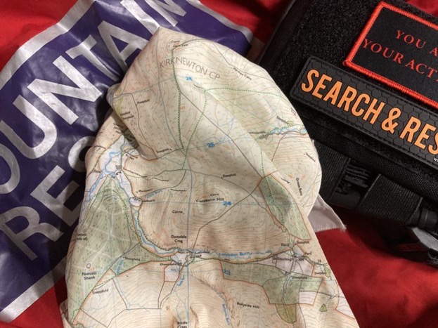
Mountain rescue maps can be created using our map maker and are available from selected local hiking or climbing organisations, national park offices, and retailers. It’s important to set up a map that is specific to the area you will be exploring and it’s advisable to include your mobile phone number in the title. Before heading out on your next adventure, make sure you have a completely reliable fabric mountain rescue map.
