Flood, rapid growth and urbanisation are all great reasons to have SplashMaps in Africa. Our guest reporter, Mark Iliffe explains project Ramani Huria and it’s impact
There is a lot of technology within the geo world and it’s moving faster. At it’s core though it’s just about making maps that people use. For every new JavaScript library, CartoDB or MapBox, bringing maps into the physical world has usually meant printing it off. These maps work quite well in the warm and dry offices of the UK, but work less well in the windy and wet realms of our outdoors – trying to properly fold an OS map in the driving wind and rain has become a rite of passage for many a surveyor, but the maps and the data behind them exists. 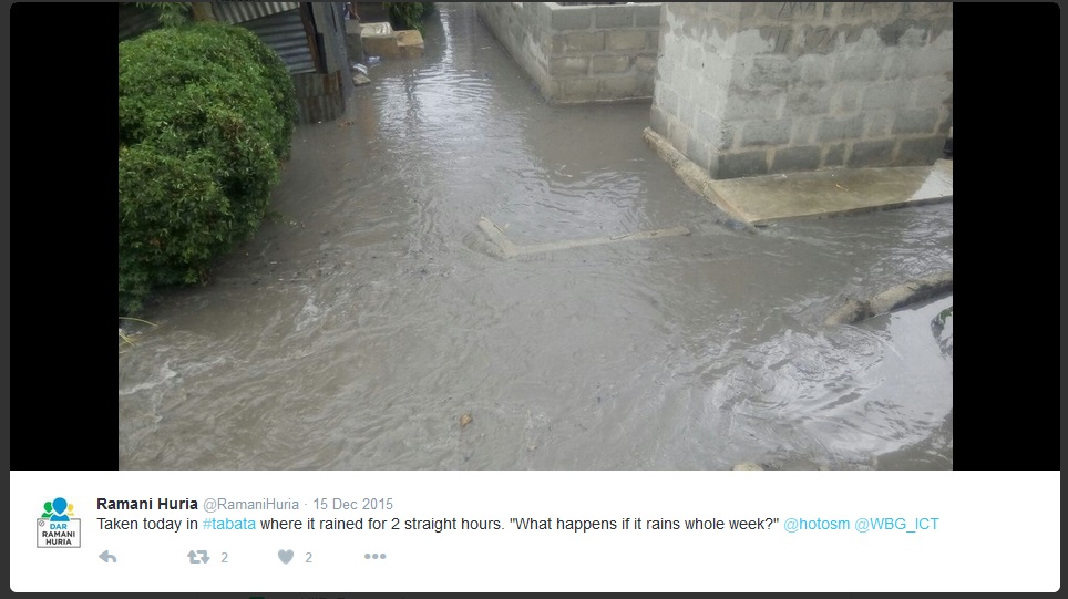
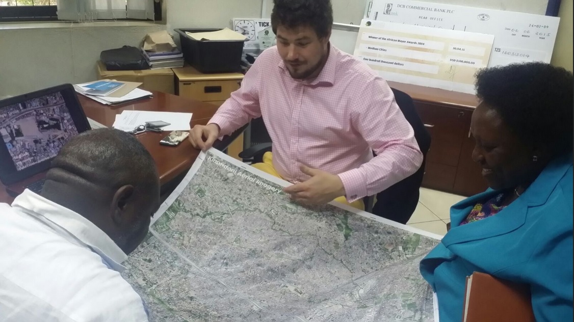
Splashmaps has solved the problem of a medium for resilient maps against the elements across the UK and the rest of the globe. Partnering with Ramani Huria and the World Bank we’ve been able to take them to Tanzania as well for some very bespoke work on flood preparation.
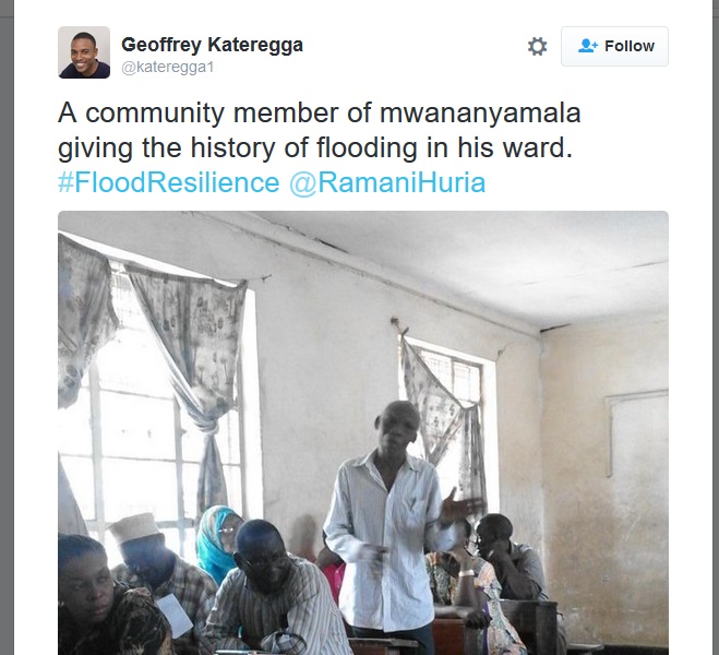
Ramani Huria is a partnership between the Tanzanian Commission of Science and Technology, Dar es Salaam City Council, the University of Dar es Salaam, Ardhi University supported by the World Bank, the Global Facility for Disaster Risk Reduction (GFDRR) and the Red Cross. Ramani Huria has worked in Dar es Salaam, one of the most flood prone cities in East Africa (and the fastest growing city in Africa), since March 2015 to identify and map the most flood prone areas of the city. So far, over 20 neighbourhoods of Dar es Salaam have been mapped, covering over 1.3 million residents of the city. All of this map data is openly licensed and freely available through OpenStreetMap. When the floods occur, people’s homes, schools and other critical infrastructure are destroyed and damaged, this has a massive impact on the everyday lives of people across the city.
When floods occur, a multitude of factors are responsible: lack of drains, damaged infrastructure or just rapid growth; all factors that Ramani Huria is mapping. For many in local government the maps of flood prone areas created by Ramani Huria are a first. Now Splashmaps of the drainage network and city maps have been placed into the hands of city government and the World Bank for their management of flood defences and disaster recovery.
Because SplashMaps are printed onto a durable but light polyester actors for both organisations can take the map to flood prone areas. They will be used to coordinate in planning, using the maps to mark-up areas of development on a common backdrop simply using a felt tipped pen. The maps need very little formal training and as very little technical skills are required field staff can efficiently capture essential information against the features on the SplashMap.
Increasingly SplashMaps are being used by Adventurers throughout the world. Typically relying upon OpenStreetMap and other open data sources the company has quickly developed global coverage. SplashMaps in Africa also include bespoke escape and evasion maps for lone workers in more remote and high risk regions of the world.
“SplashMaps have been developed for mountain bikers, runners and trail walkers in the main” says David Overton, SplashMaps‘ MD and founder, “…but increasingly we see a trend toward use in more extreme and professional circumstances and we’re delighted to contribute to the Ramani Huria project which will have such a positive impact on the people of Tanzania.”
