Description
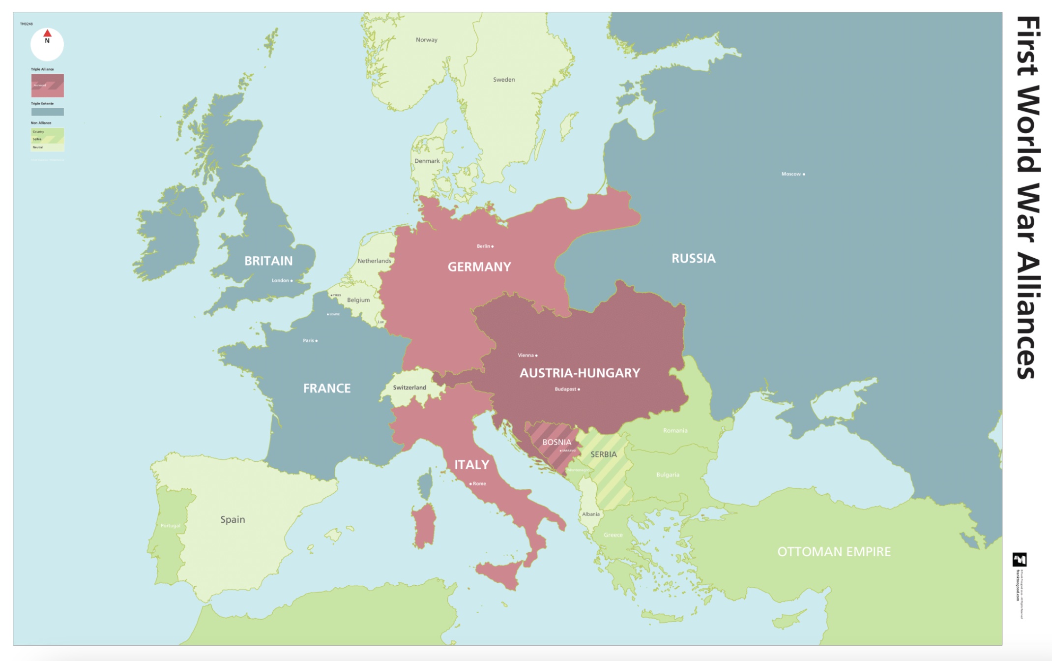
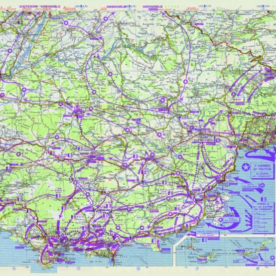
WW1 Alliances Map
This WW1 Alliances Map, influenced by the Great War trench maps, is now one of SplashMaps’ History Maps series.
A European Map showing the Alliances at the outbreak of WWI
This map was developed to show the alliances between between Britain, France and Russian (The Triple Entente), and between Germany, Austria-Hungry and Italy, (The Triple Alliance) at the outbreak of WWI In 1914.
It also highlights Serbia and Bosnia (annexed to Austria-Hungry), where the assassination in Sarajevo of Archduke Ferdinand which sparked the tinder that was the start of WWI.
Pre-war WW1 Alliances Map
The map shows the extents of the empires involved and their borders at the time. It was a very different Europe and alliances form from unlikely fronts as the Ottoman empire erodes.
Ideal context setting
These maps — as found in battlefield history books — are intended as aids for guides to help set the scene during tour presentations. Designed for context setting for a visit to any of the Great War sites. This map is ideal for setting the scene at the start of any WW1 battlefield tour.
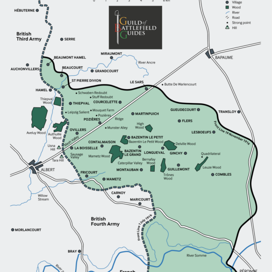
The Guild of Battlefield Guides
The map was created by Frank Toogood, an Accredited Member of the International Guild of Battlefield Guides, who guides school and military groups for Anglia Tours.
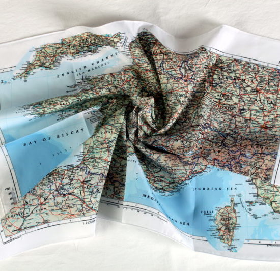
Escape and Evasion Maps
Original Escape and Evasion maps of the period were often printed on fabric to support covert operations and resistance behind enemy lines. Escape and Evasion maps remain crucial in the liberation of airmen and in paving the way for successful campaigns today. Now they find their use in relaying the important facts of the Liberation for future generations.
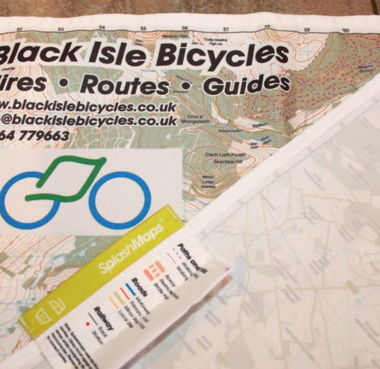
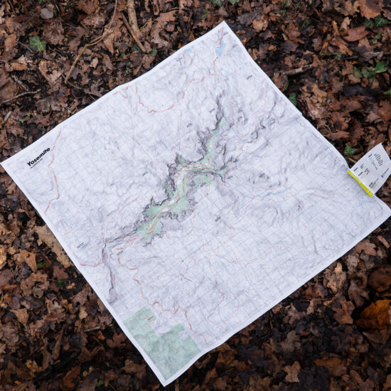
SplashMaps’ Pro weatherproof fabric
SplashMaps’ Pro weatherproof fabric will survive everything. The map will guide you to the key locations and live as a memento of key events from your and the world’s history.
Key content
Ottoman Empire, Austro-Hungarian Empire, British Empire, Russia, France Germany, Allies, Axis, Triple Alliance, Triple, Britain, Germany, Italy, France, Serbia, Bosnia, Entente.
Size
140cm x 88cm
Only logged in customers who have purchased this product may leave a review.


Reviews
There are no reviews yet.