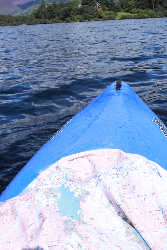
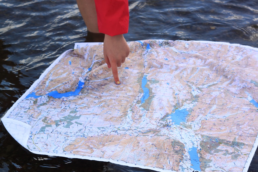
Who said maps were for trekking, walking and running? Increasingly SplashMaps are used on the waterways too. Recently we trialled the Lake District Central Map on Derwent water. The map was so water resistant that it sat on the surface of the lake as we navigated.
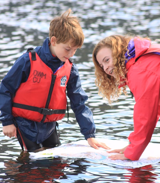
Our thanks to Rob and Vicky at Derwent water marina for helping us prove Canoeing with SplashMaps is a recipe for a great wet day out!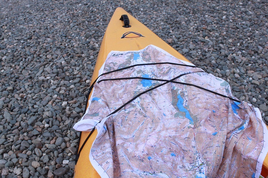 Our thanks too to Jake Thompsett who recently contacted me with his plan to navigate the Wye on paddle board! That’s 140 miles.
