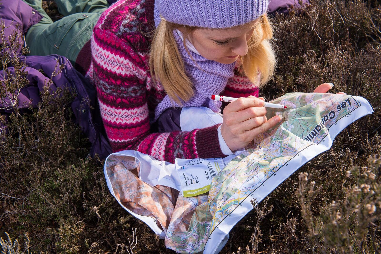
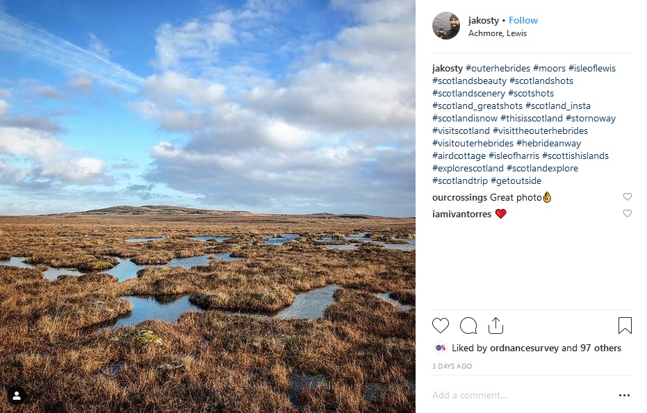
We’ve created our first custom-made Instagram friendly map in the UK together with Clarion Communications. The 6 islands of the Outer Hebrides are already in Lonely’s Planet’s top 5 regions to visit in 2019. With a disproportionate number of beauty spots, our map is aimed at attracting visitors to the exact spot to take that iconic Instagram selfie or landscape. With the full detail of an Ordnance Survey 1:50k scale Landranger map and printed on our signature weatherproof fabrics you’ll be tempted to explore on foot or bike, whatever the weather.
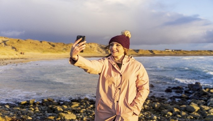
From food to favourite pets, selfies to sunsets – maintaining an engaging Instagram feed can be hard work – but now a new map could help solve a million millennial travellers dilemmas.
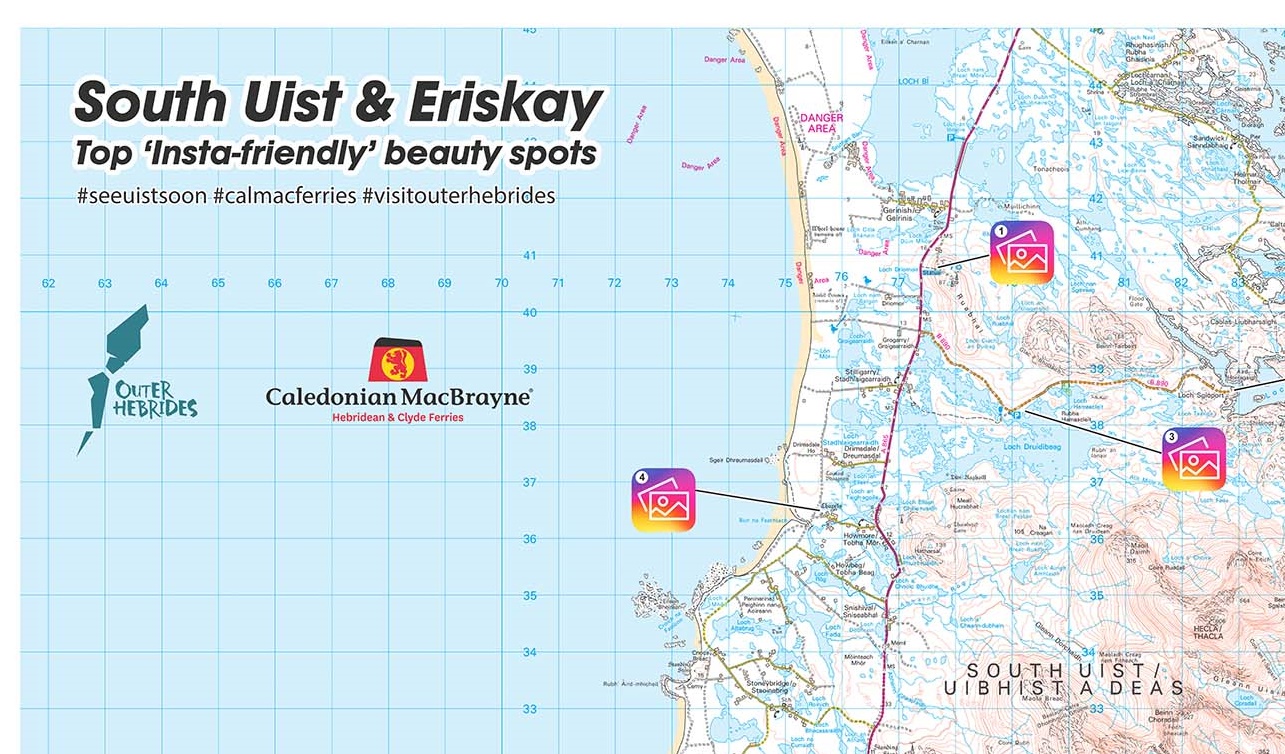
The limited-edition map of Uist in the Outer Hebrides embodies the ‘hands-on’ character of an old school map with its traditional layout and trusted grid reference points – but with a modern-day twist.
A special new Insta-friendly symbol has been created and added to the map to sit alongside the traditional ‘place of worship’ and ‘museum’ symbols from map reading days-gone-by. And resourceful islanders, along with social media insight, have identified the most ‘Instagrammable’ places on the islands to help tourists seek out the ‘must snap’ picture spots to keep their Insta-followers fed.
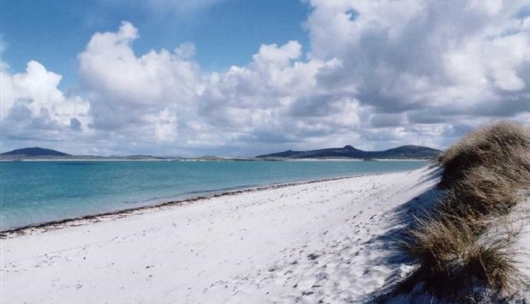
Created by CalMac Ferries and Outer Hebrides Tourism, the map pinpoints the top 10 Insta-worthy beauty spots throughout Uist such as Seal Bay in Berneray (great for seal spotting) and Eriskay Football Pitch (FIFA-recognised scenic football pitch) for influencer wannabees to capture the very best shots for their social feeds. Ahead of the 2019 tourist season, the adventure scale map, designed in all-weather waterproof fabric to withstand the occasional Hebridean shower, will help social media devotees discover just why Uist is a must-see destination this year.
Andrew Macnair, Head of Marketing at CalMac Ferries said: “The Outer Hebrides are a photographer’s paradise and an influencer’s dream, and this viral popularity continues to increase as globetrotters share pictures on social media of their adventures on the islands. Uist, however, is a hidden gem, with powder-white beaches, untouched natural landscapes and vibrant crofting communities steeped in traditional Gaelic culture, often overlooked as tourists flock to the likes of Harris and Lewis.
“We know that Instagram matters to today’s tourist and we also know that travellers love a traditional map. Our new style version makes it easy for visitors – pinpointing a real eclectic mix of views and landscapes and moreover making them easily identifiable through our new social symbol.”
Robert McKinnon, Chief Executive of Outer Hebrides Tourism added: “The popularity of the Outer Hebrides has grown considerably in recent years, with 218,000 people now visiting annually from throughout the world.
“Social media has put the islands on the map, with so many Insta-friendly locations on our doorstep. We look forward to welcoming visitors to Uist and seeing Instagram feeds fill with snapshots of their adventures on the islands.”
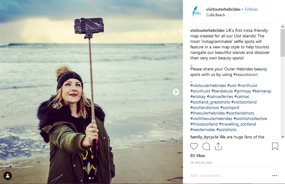
Two maps will be rolled out in the coming weeks and will be available on CalMac ferries to the islands. Visitors to the islands are being encouraged to share their snaps of the beauty spots and tag #seeuistsoon #calmacferries and #visitouterhebrides in their posts. Today, 88k people tagged an Instagram post with #outerhebrides whilst 13k shared pictures of #uist.
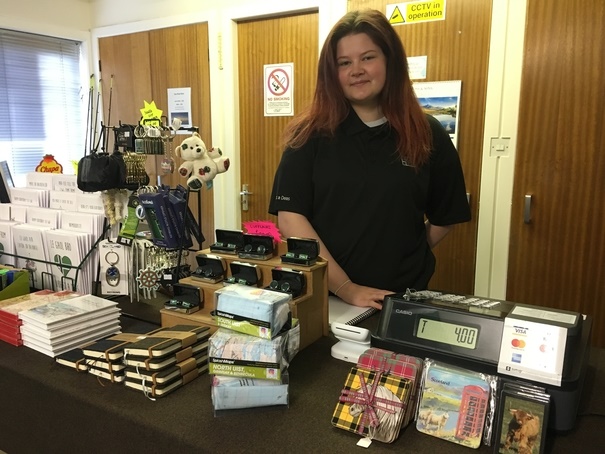
The maps were designed and made by Hampshire-based SplashMaps using Ordnance Survey’s familiar Landranger style of map.
Berneray, North Uist, Grimsay and Benbecula
South Uist and Eriskay
